Great Wall Trail-Taiwan-Dadu
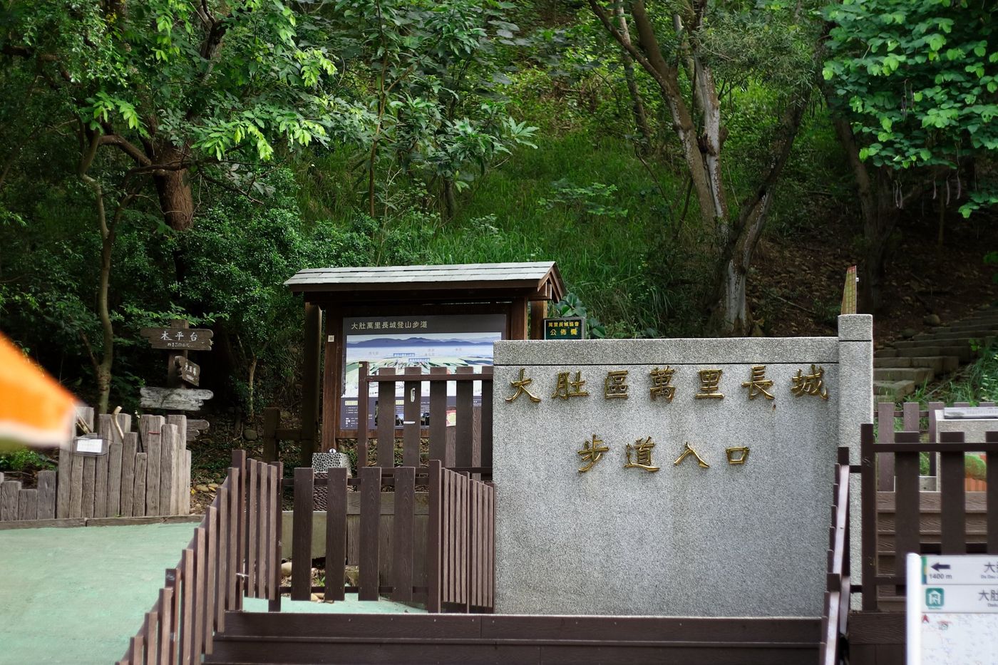
Mountaineering intersection: The mountaineering trail is looped for 2.7 kilometers.
Trail Type: Suburban Mountain Trail.
Pavement condition: stone steps, dirt paths, dirt roads.
Walking time: about one and a half hours back and forth in a loop. Altitude: 70~270 meters.
Difficulty: low.
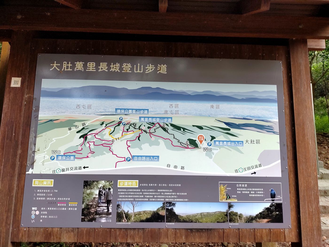
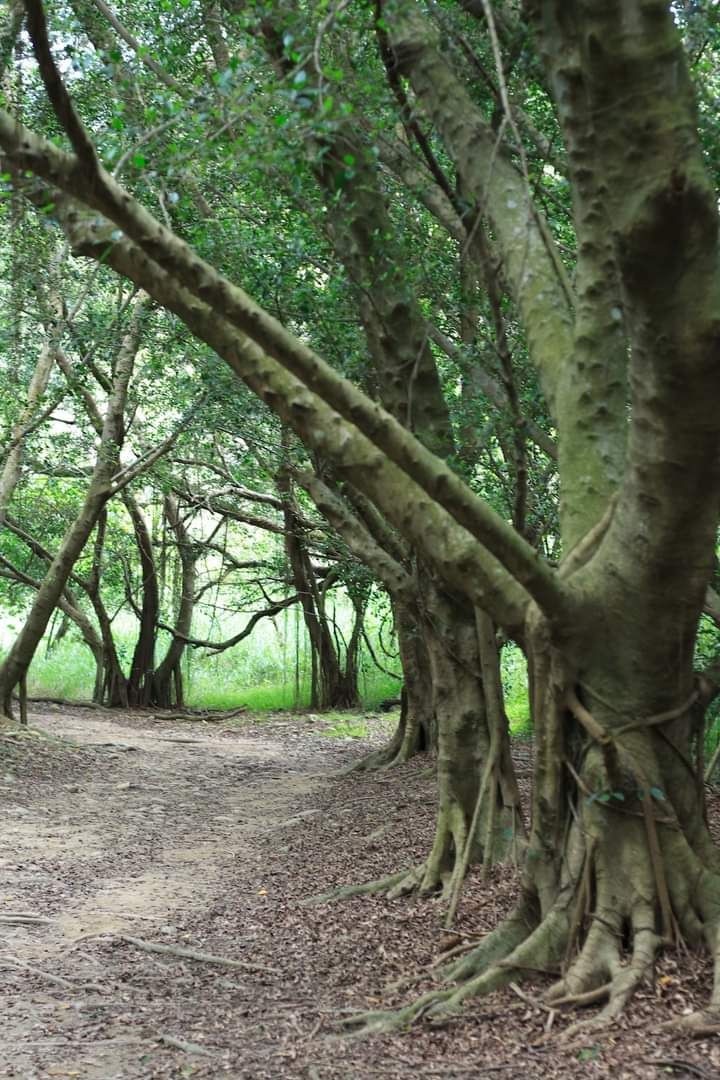
The Great Wall hiking trail is located in Dadu District. It is located in the Baoan Forest area on the southwest side of the Dadu Mountain platform. It was named the Great Wall. It is named after the entire trail is winding like the Great Wall. The hiking trail takes about 1 hour one way. During the journey, the forests on both sides are beautiful, the flowers and trees are sparse, and the green hills can be seen from afar, and the bright scenery of the Potbell Hills can be seen.
▲ Taken from Taichung Tourism and Travel Network .
Dadu Mountain belongs to the Touyu mountain layer. The laterite is covered with gravel, which is very dry and barren. It is planned as a security forest. Afforestation is used to prevent dust and soil erosion. A large number of neem, white chicken oil, beech, and Japanese Jurchen are planted as afforestation tree species. However, there are also ecologists who hold an objection, arguing that there are more than 400 species of native and endemic trees in this area, and in 2004, a first-class conservation animal was recorded, and there is no need to reforest in the native forest, or change the ecology and affect the original habitat animals here.
▲ Taken from hiking notes .
The Great Wall Trail is a very interesting trail. There are entrances at Wuriduan and Daduduan. Although it is not complicated, we choose a route that is clearly marked and suitable for parents and children to travel together. After checking the information, there are four entrances:
1) Security Forest, 2) Supervision Office, 3) Environmental Protection Park, 4) Freedom Road.
Google Maps can set the parking lot of the Great Wall hiking trail, and she will lead it to the Dadudu Mountain Trail (Baobaolin). The parking lot can park about 20-30 cars, but it is also possible to park on the roadside in front of the parking lot. It's a convenient place to park.
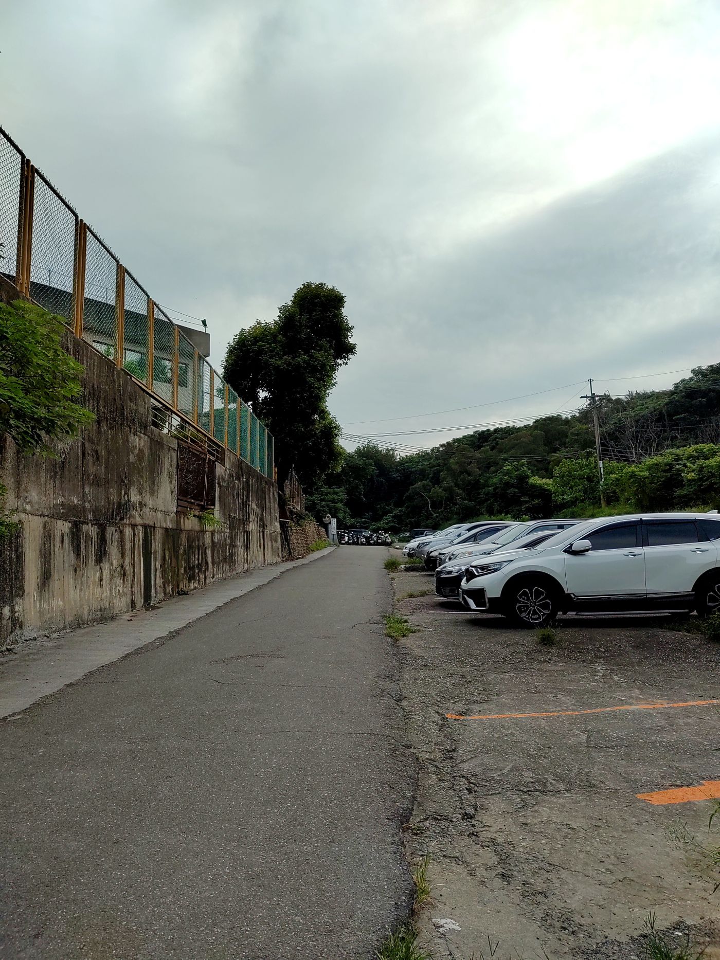
In the photo of the text, you can clearly see the mountain entrance. The trail we take can be climbed in a loop, either upper right and lower left, or upper left and lower right. In addition, there are public toilets at this mountain entrance, which can be fully used before going up the mountain.
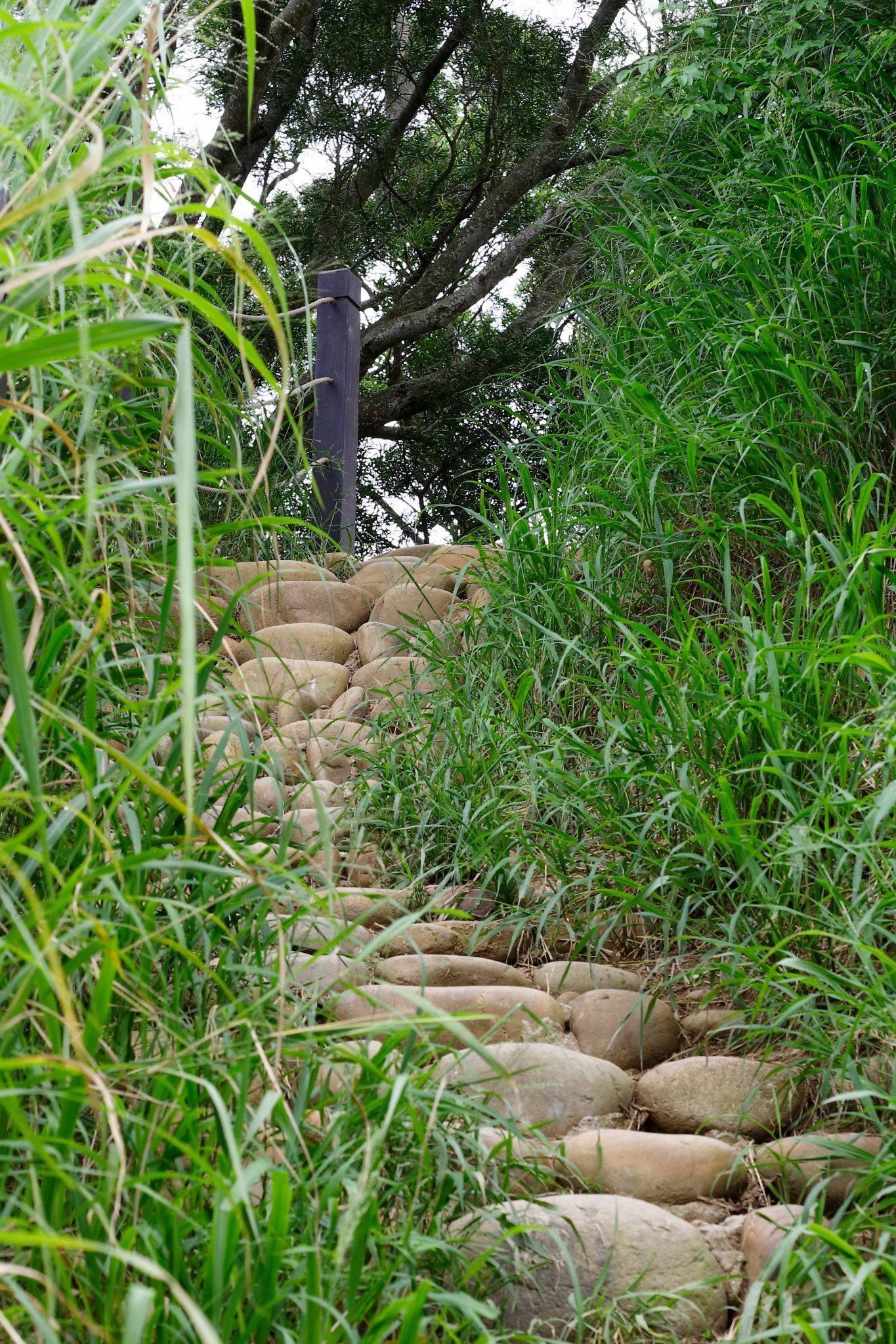
We took the upper right and left lower, and climbed from the upper right. We needed to start climbing the stone steps. The elder protested along the road. He hoped that the fatigue of climbing the stone stairs would be reduced from the upper left.
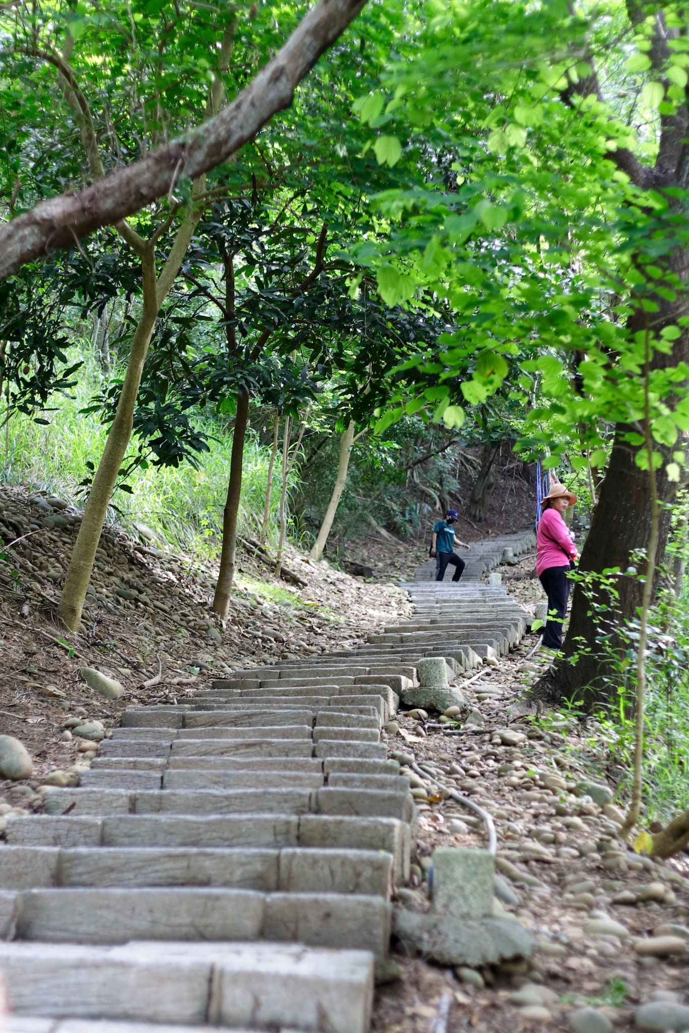
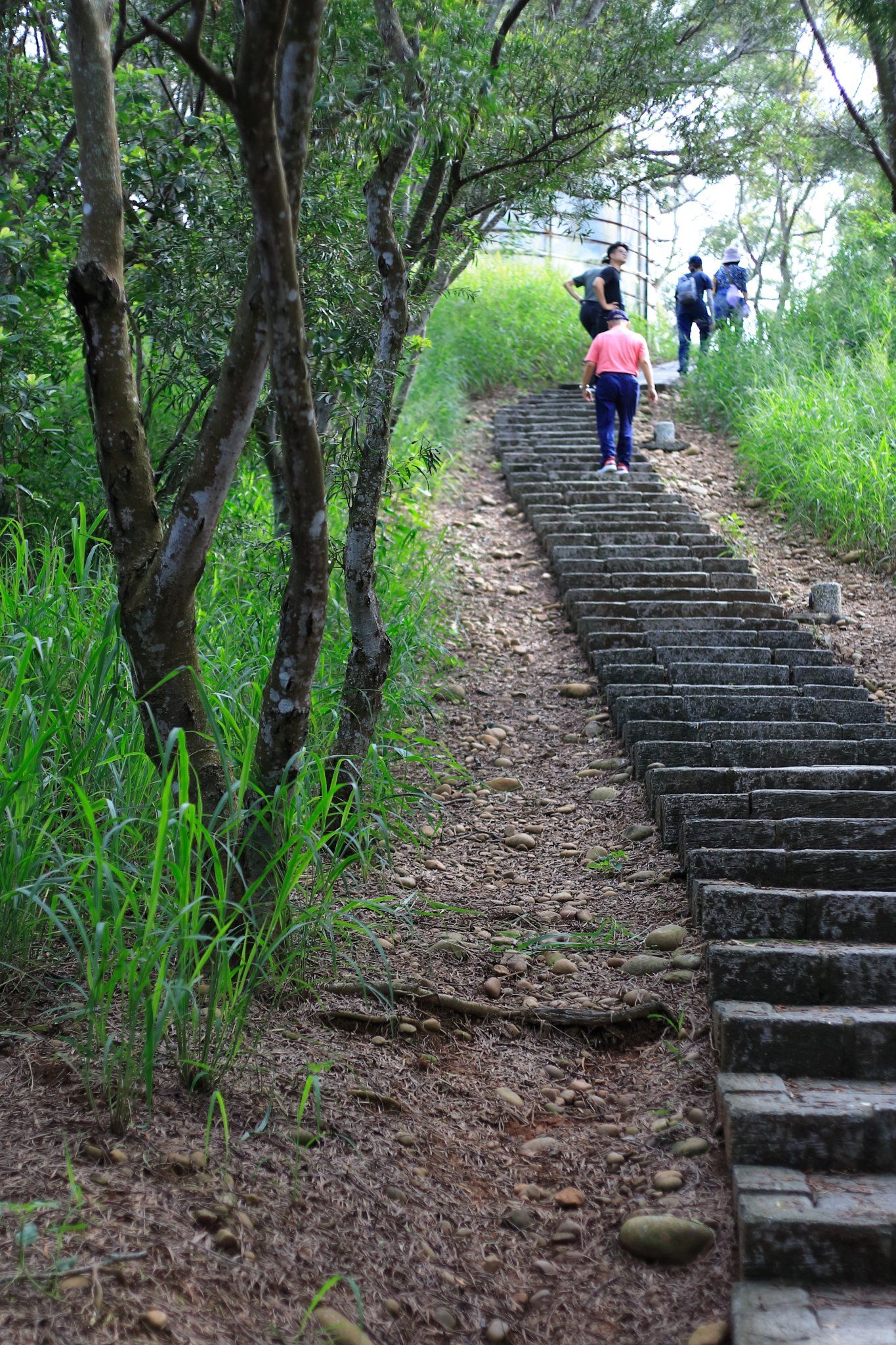
When you go down the mountain, you can see the route on the upper left.
On Saturday, the weather was overcast with occasional sunshine, shaded by trees along the way, and there were not many opportunities for sun exposure. It was much better than Jiujiu Peak, and the stone ladder was not as much as imagined. It's a very easy trail to go up.
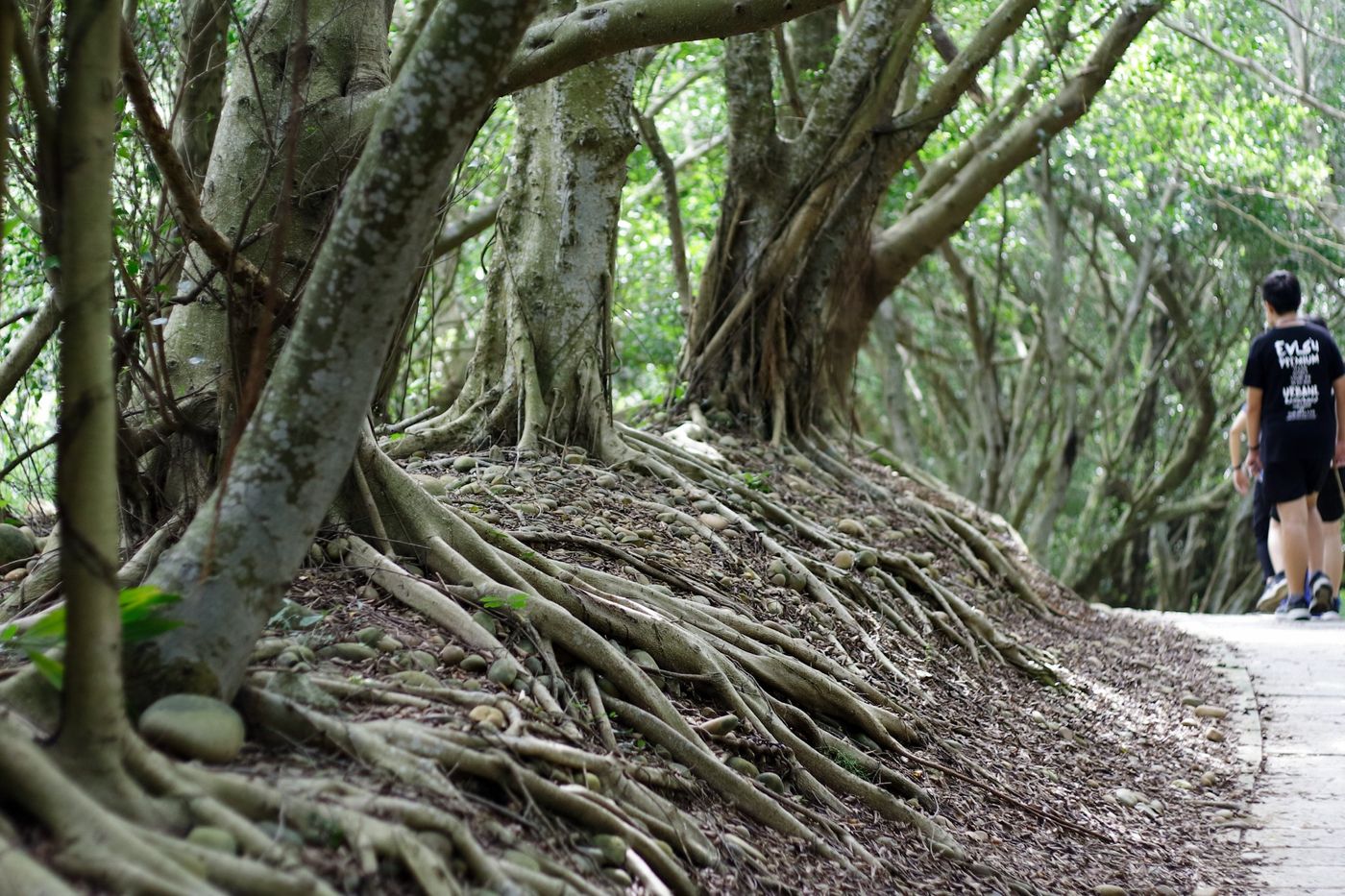
Along the way, you can see a lot of ecology, but this time the lens is a large-aperture fixed-focus lens, which is too close to butterflies, dragonflies, and birds, and it is easy to alarm them. So I can only shoot the one who can't escape...
snail, hehe
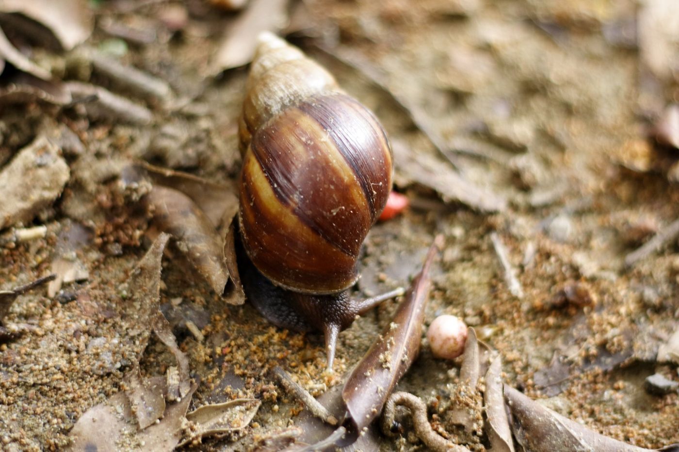
In fact, it was too late, I was caught in the mirror......
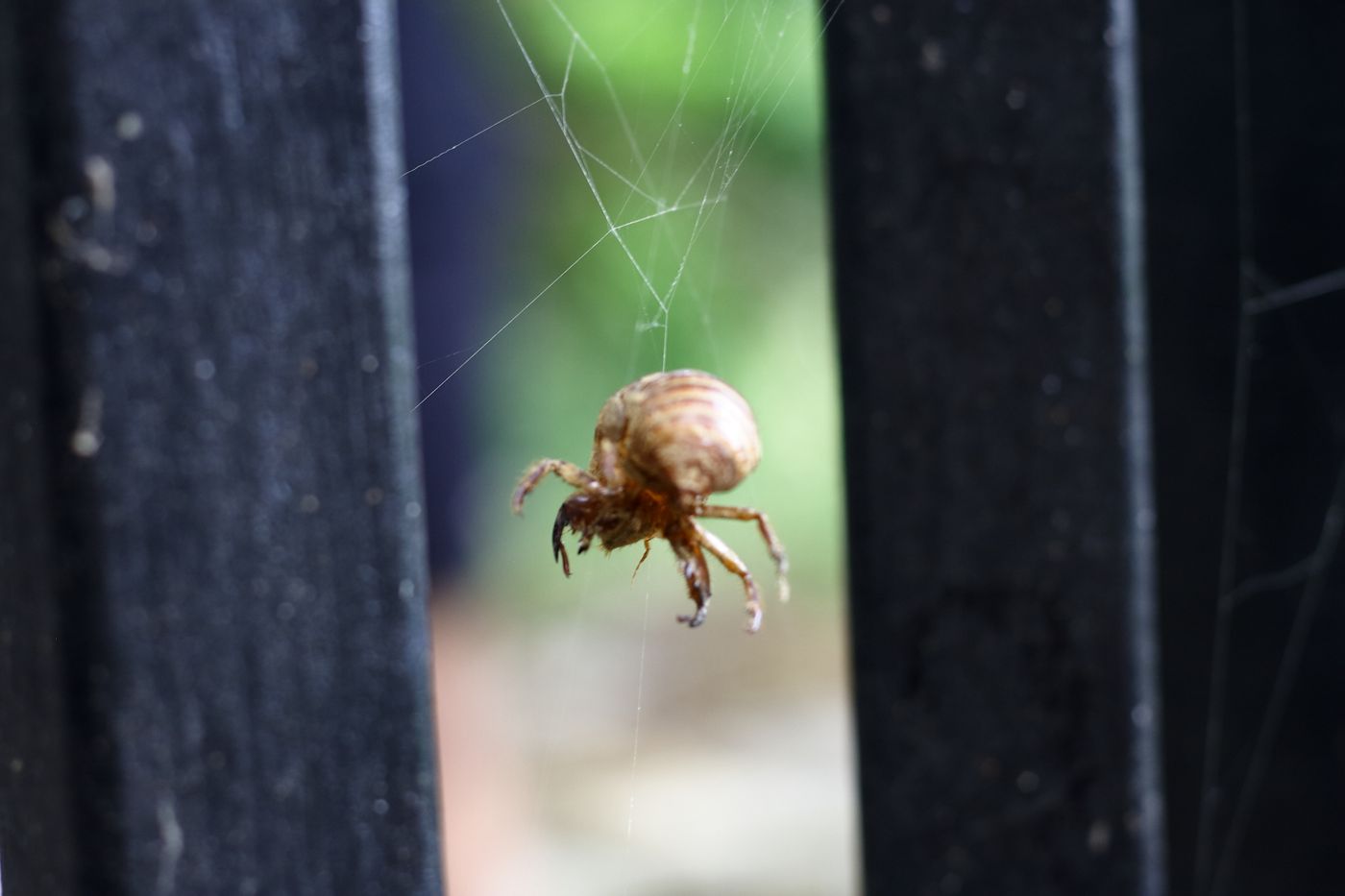
The benefits of mountain climbing, if you don’t rush, climb slowly, watch slowly, while breathing and wiping sweat, you will not only gain health, but also discover the beauty that you usually ignore~~
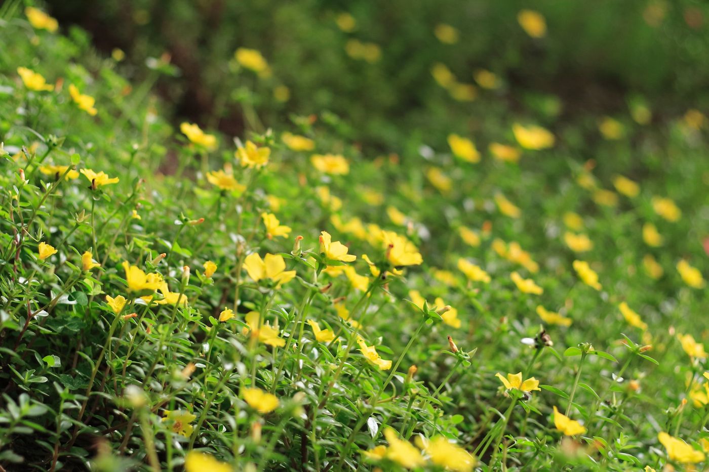
Somewhere in the distance, this loop climb did not include this route, so I had to look at it from a distance, turned around and said to the elder and the younger: "We haven't climbed the north end of Jiujiu Peak, there is another one, next time. , we're going to crawl back all the way back...". They looked.
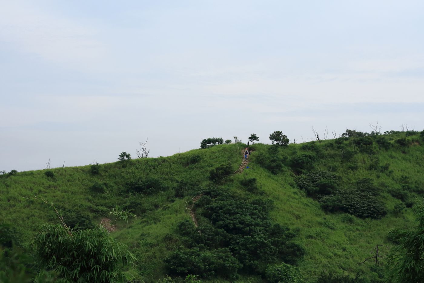
The eldest said, "That I have to memorize high school English words..."
The child said, "I still have summer homework to do......"
I wondered if I had ever answered this to my father before.
I quickly reached the high point of the ring and started to go down (in fact, when I reached this point, there was a bifurcation point, where does the other one go? I didn't climb, so I don't know, I took a photo of the entrance)
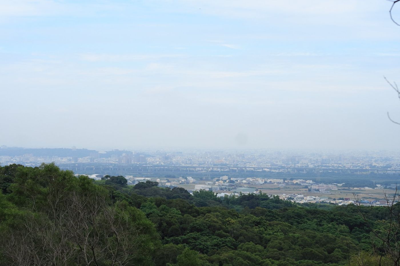
There is a high gazebo there, the view is good, but the branches may obscure......
After a short rest in the pavilion, you can start going down... Da'er's face is full of joy.
In the process of going down the mountain, most of them are dirt roads and stone roads, plus walking in the woods, it is relaxed and comfortable~
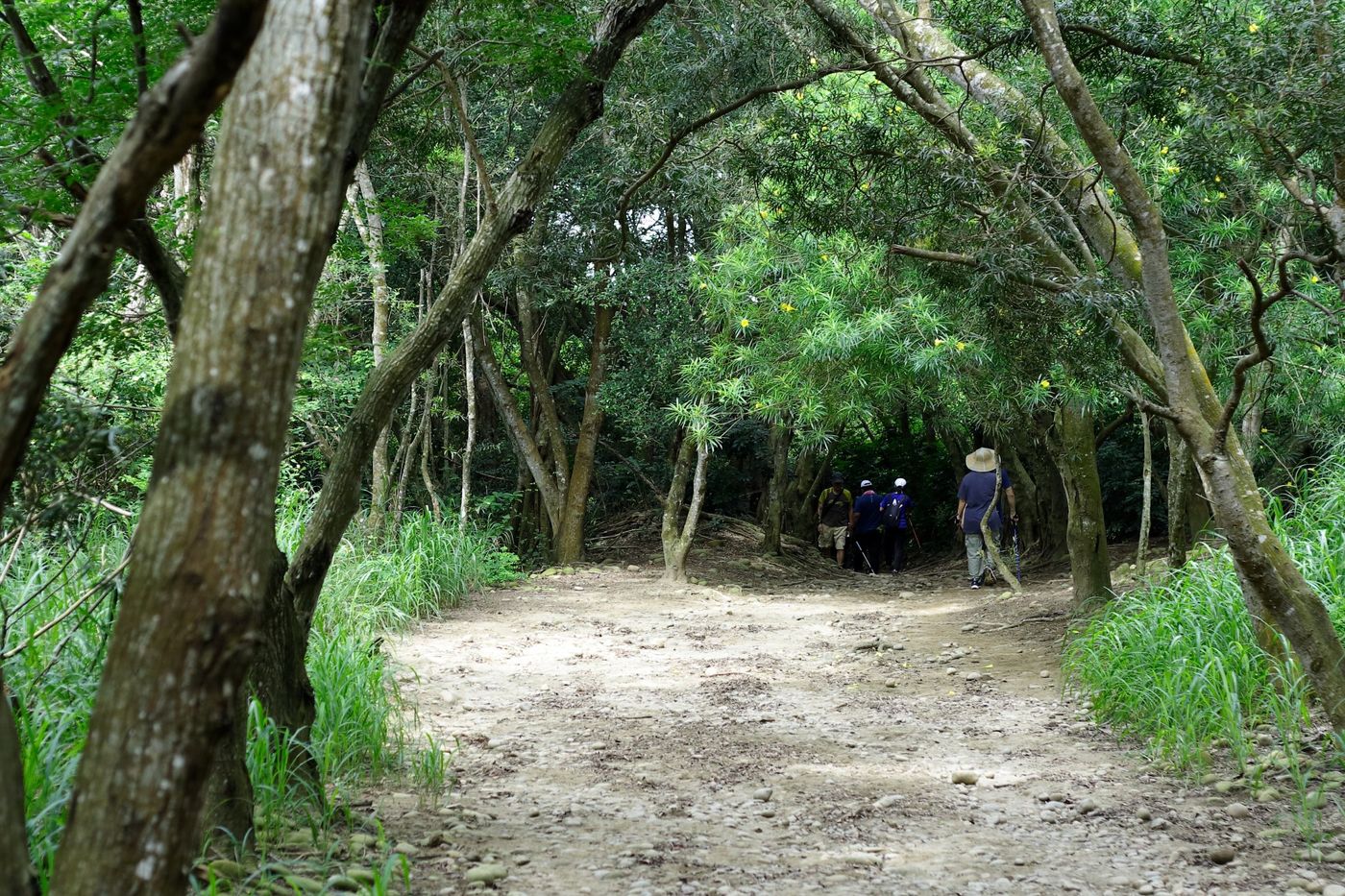
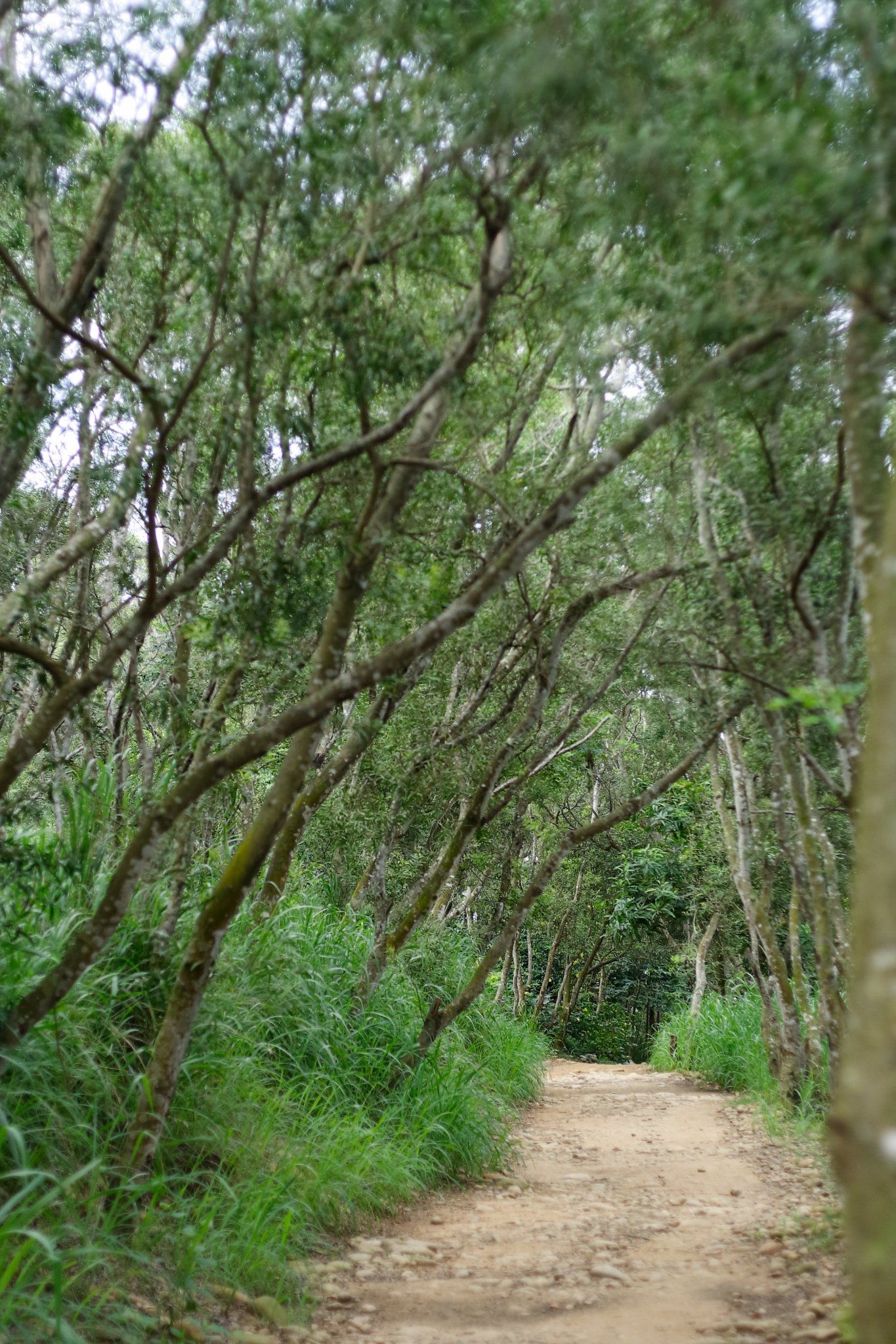
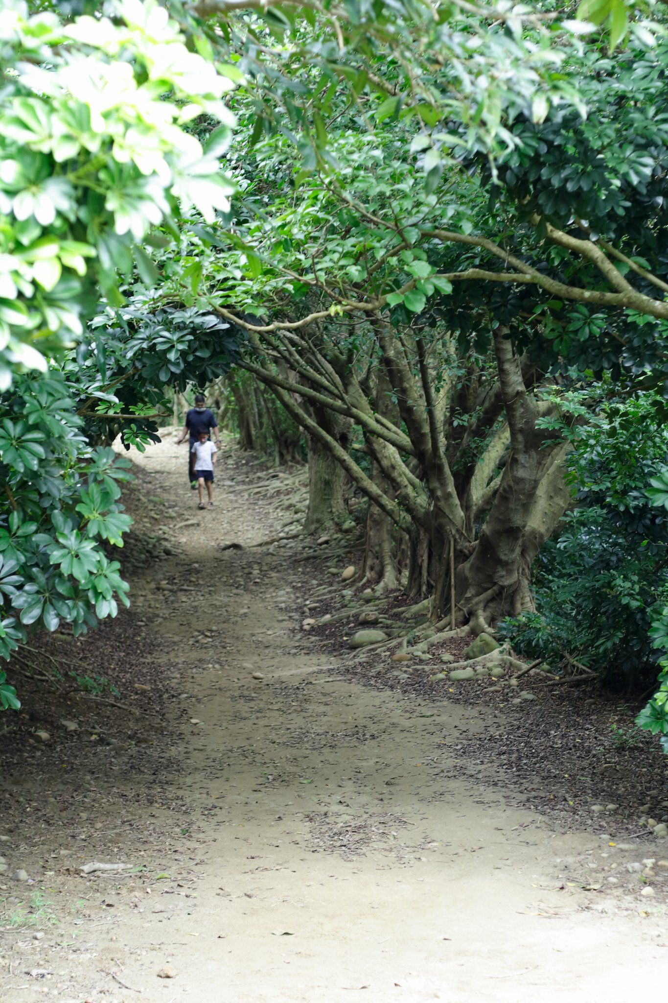
The eldest: "It should be from the left, it's much easier to climb!"
I didn't have Ziqian's wisdom, so I just said to him, "Then let's climb again, from the left side, see which side is more tiring?"
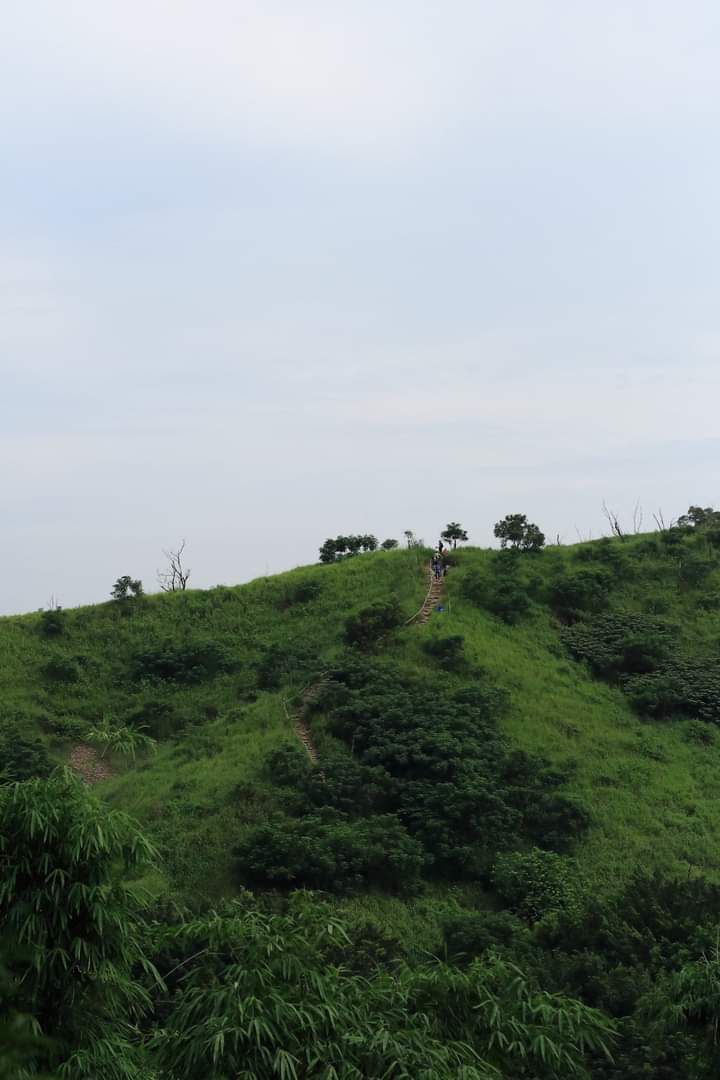
Due to the Internet or other factors, Shangmat City is occasionally tired, so all the photos are compressed and uploaded, please forgive the quality of the pictures. It is customary to encourage everyone to go outside and sweat~~~
This Great Wall is worth climbing ^_^
Thank you for watching/╲/\╭(•‿•)╮/\/\
Like my work? Don't forget to support and clap, let me know that you are with me on the road of creation. Keep this enthusiasm together!


