
對世事充滿好奇,更希望與人分享自己所得 想買本欄的照片,歡迎瀏覽:https://www.eyeem.com/u/smallaworld 我的Liker Social:https://liker.social/@smallaworld 歡迎訂閱:https://liker.land/amy-aunte/civic
South East Australia Hiking Tour Part 2 Mount Wellington
In order to buy time, the elder brother bought a ticket to Hobart at 8:00 in the morning, so we could leave the airport before 10:00.
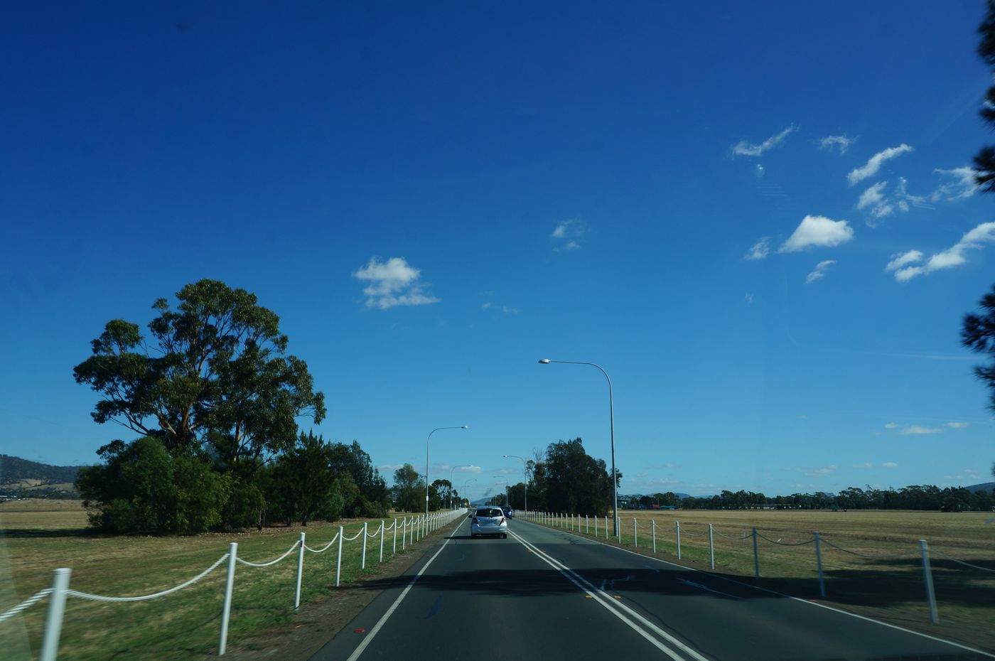
In the southeast of Australia in summer, the temperature difference is very large. During the day, the temperature can reach as high as 30 or 40 degrees Celsius; in the morning and evening, it can fall back to the level of more than 10 degrees. In addition, the temperature in Tasmania is generally lower than that of Melbourne. It's five degrees, so friends who go there in summer, remember to bring all four seasons clothes
The bridge across the east and west banks of the Derwent River, Tasman Bridge
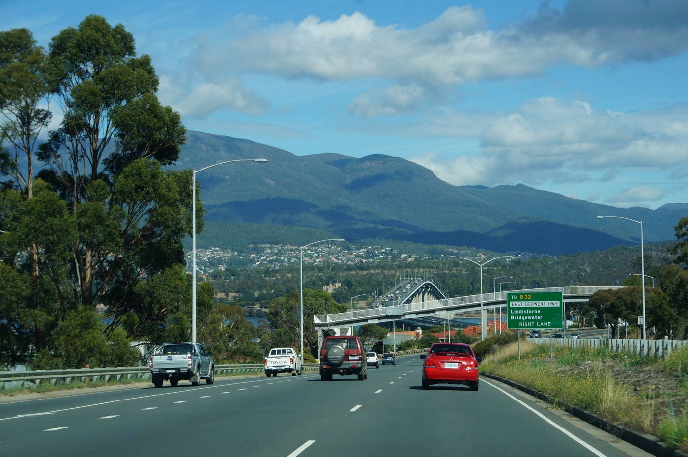
In Australia, cross-sea bridges such as Tasman Bridge are generally used with a high rate of use without partitions. The purpose is to allow the local transportation department to adjust the number of round-trip lines according to the actual traffic situation.
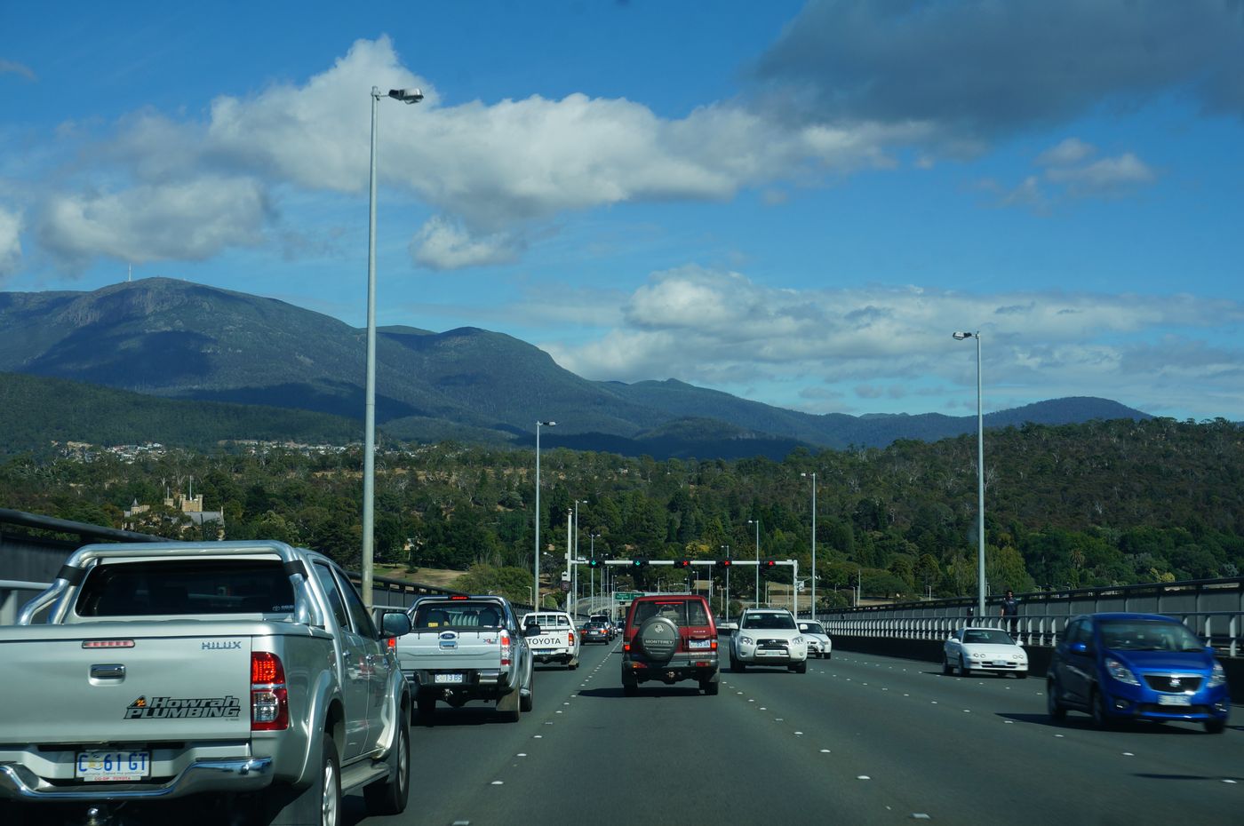
Since most hotels in Australia do not accept check-in until 2:00 pm, before heading to the hotel, we first went to the opposite side, only 22 kilometers from the center of Hobart, to visit Mount Wellington (Mount Wellington)
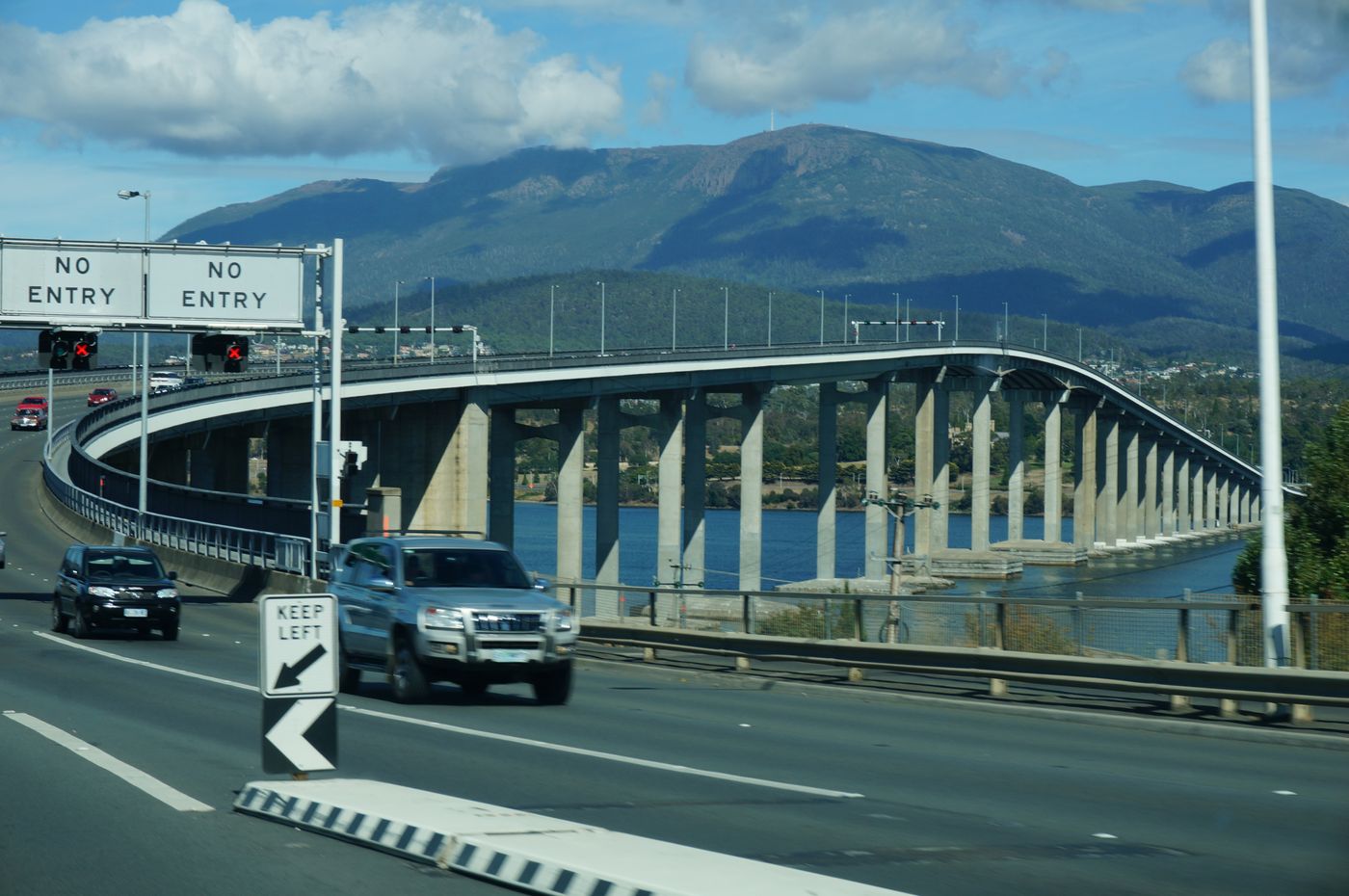
through the city center
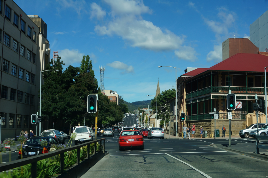
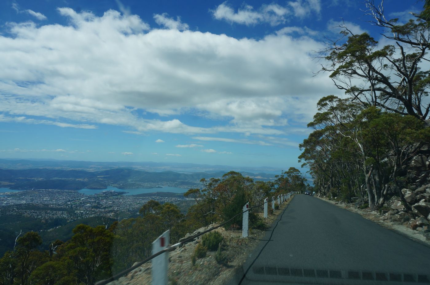
started to go up the mountain
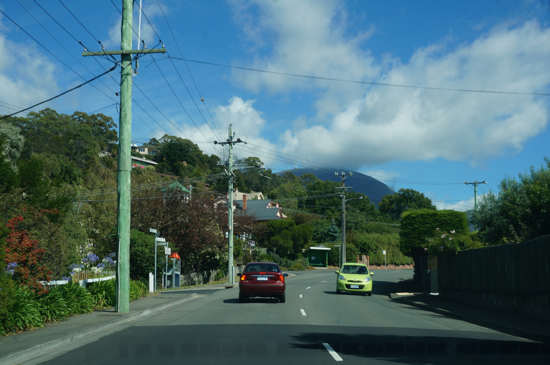
The way to get to Mount Wellington, in addition to driving to the top of the mountain, can also go up the mountain along the hiking route built by the local government. However, due to our limited time and so much luggage, hiking was still free. However, if you stay in Hobart for a long time, hiking is a pretty good choice.
Except in summer, Mount Wellington is covered with snow all year round. If you go up the mountain during those times, remember to put chains on your car
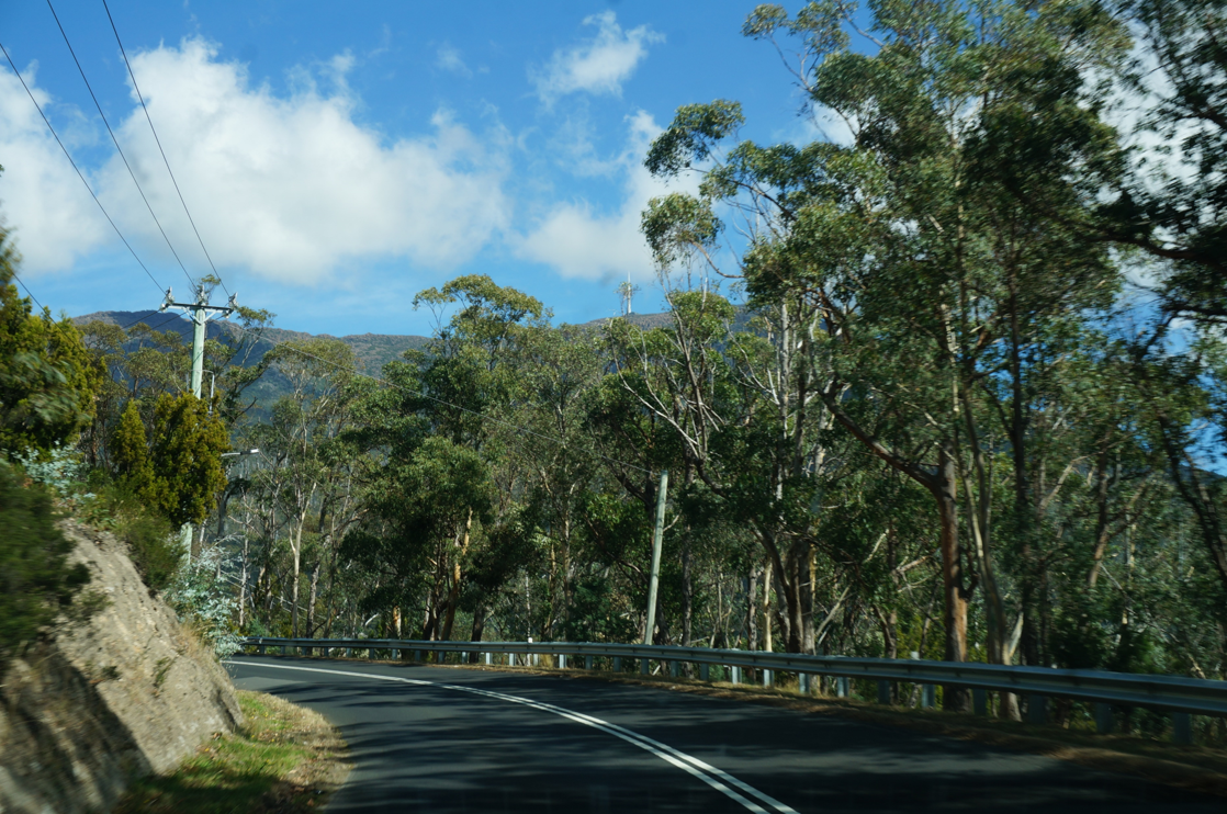
There are many viewing platforms along the way
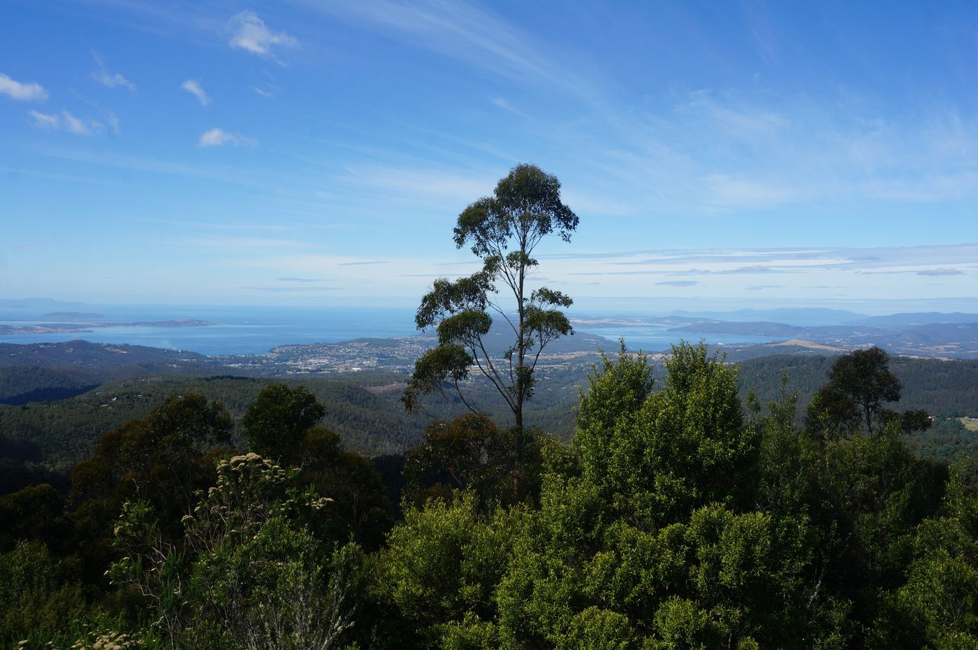
Almost at the top of the mountain
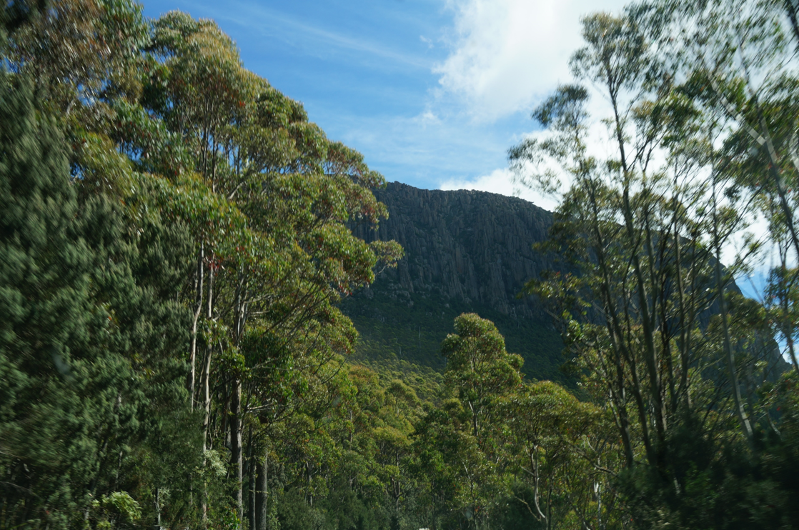
All the way up the mountain, you can see the surrounding environment from the temperate rain forest
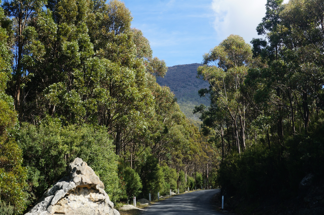
subalpine vegetation belt
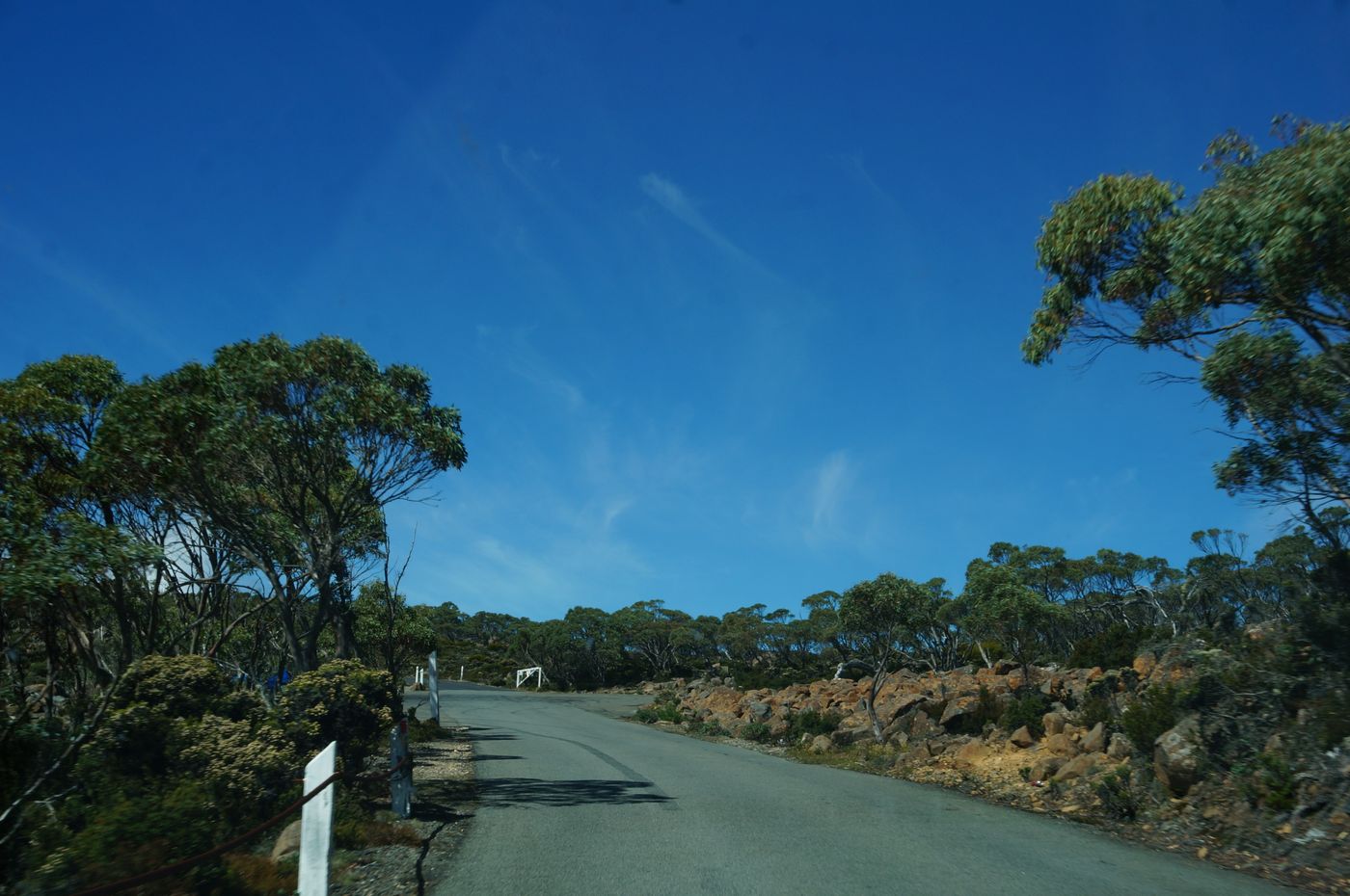
It's amazing to be able to go up to the 1,270-meter-high peak on a bicycle alone
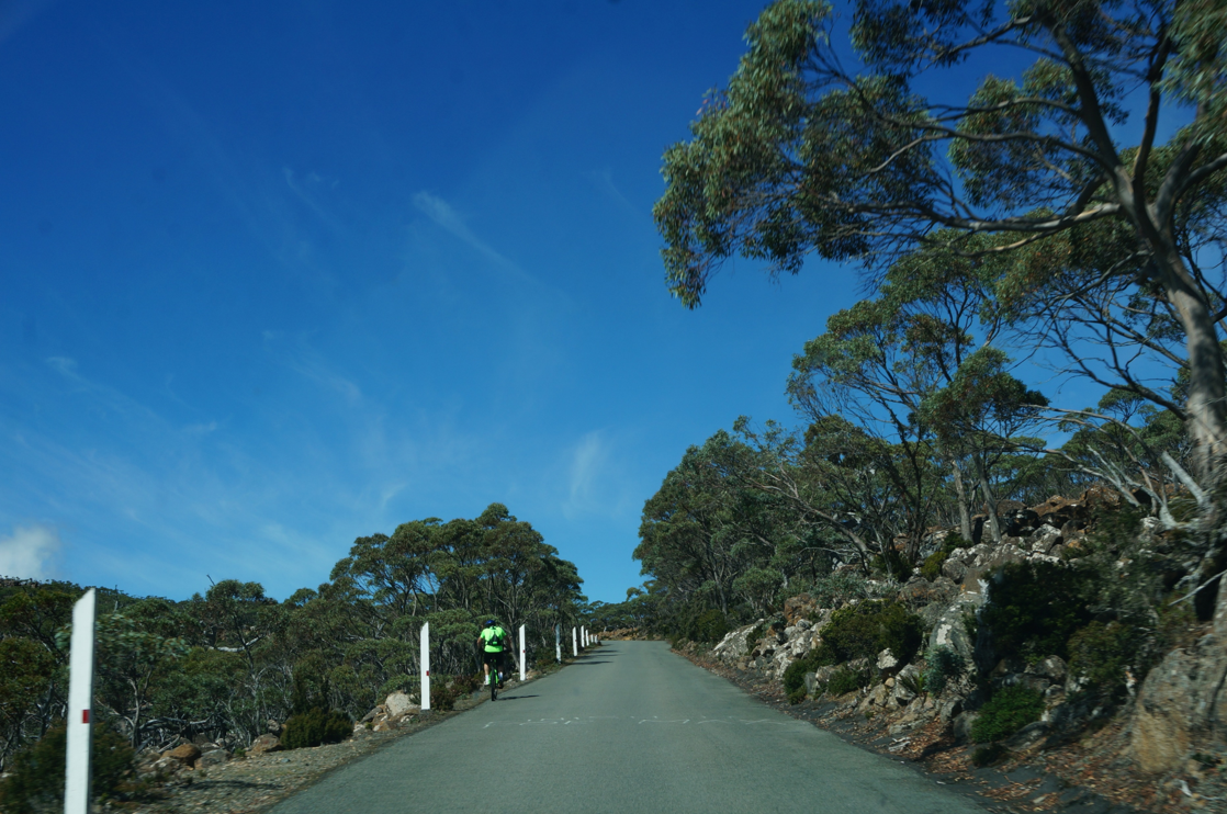
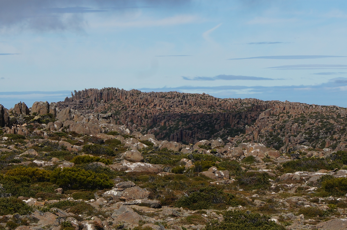
Up to the top of the mountain, it turned out to be a wasteland
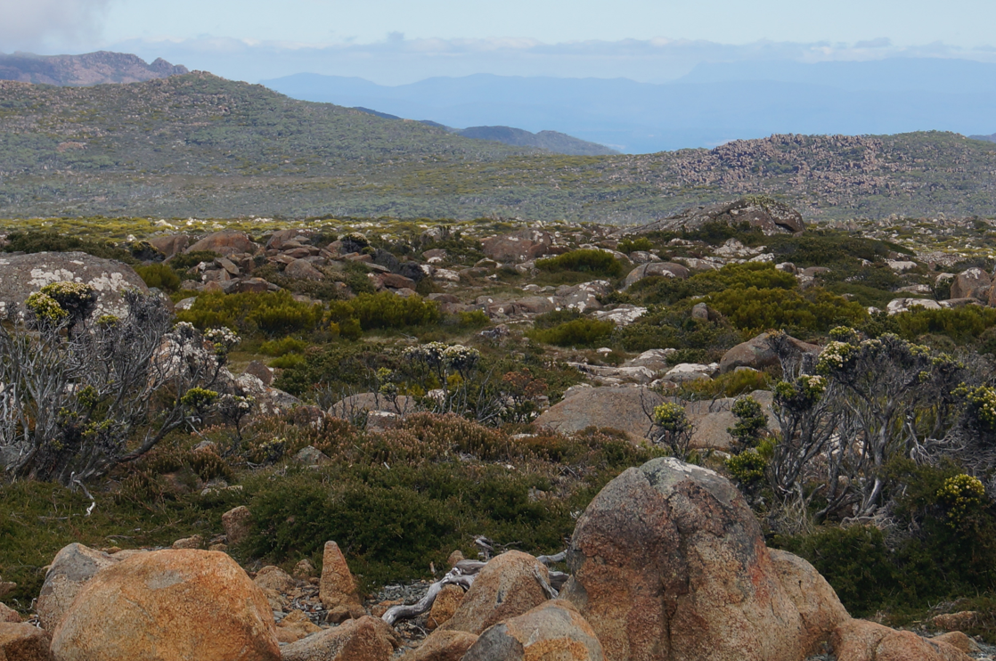
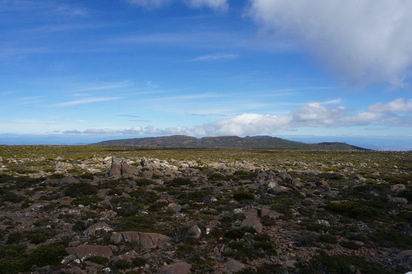
And there are many stones. It is said that Mount Wellington was only located at low altitudes in ancient times, and Hobart was located on the seabed. After climbing through the crust, coupled with volcanic eruptions, the current terrain was created.
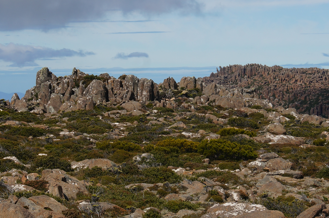
The change between light and shadow is really amazing.
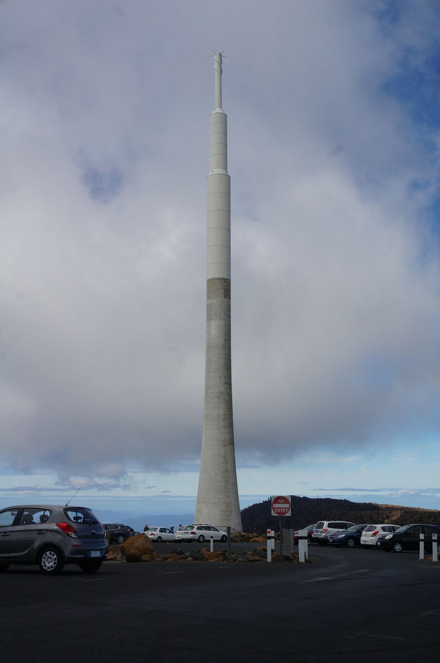
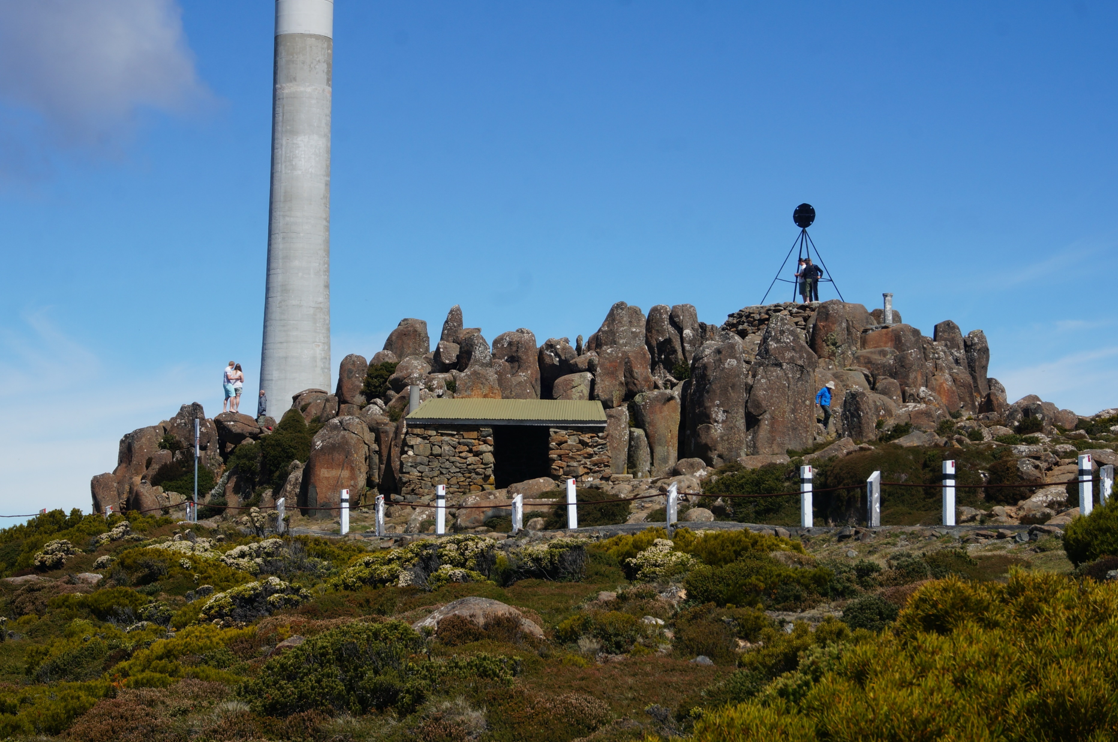
This is the launch tower we see on the plane
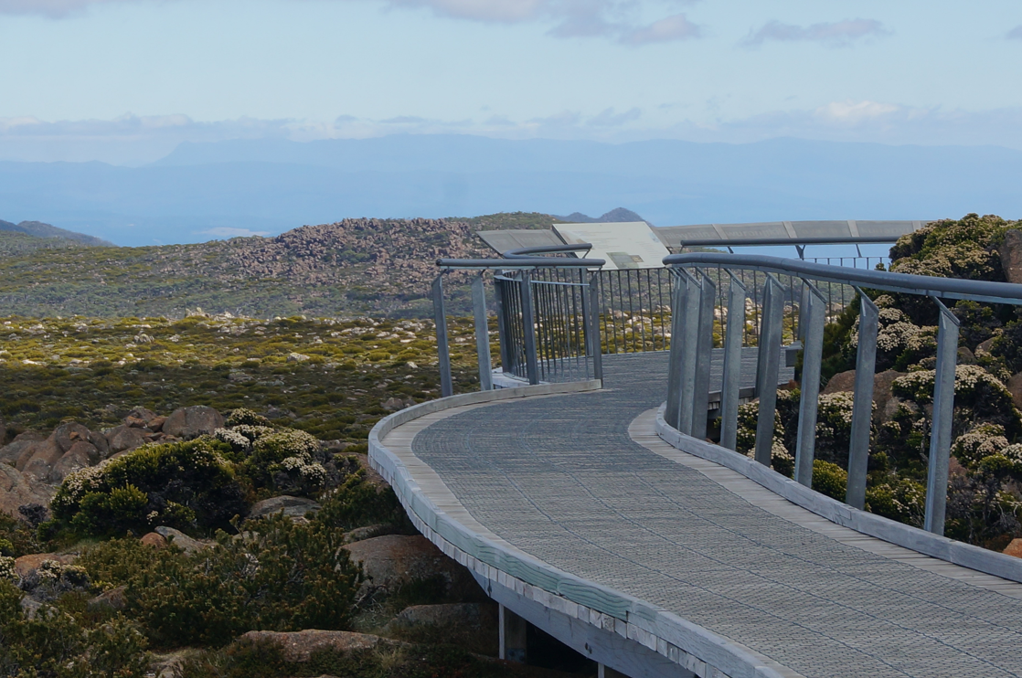
From the observation deck on the west side of the car park, you can see the World Heritage Area (World Heritage Area) 100 kilometers away, but what is there, I honestly don't know
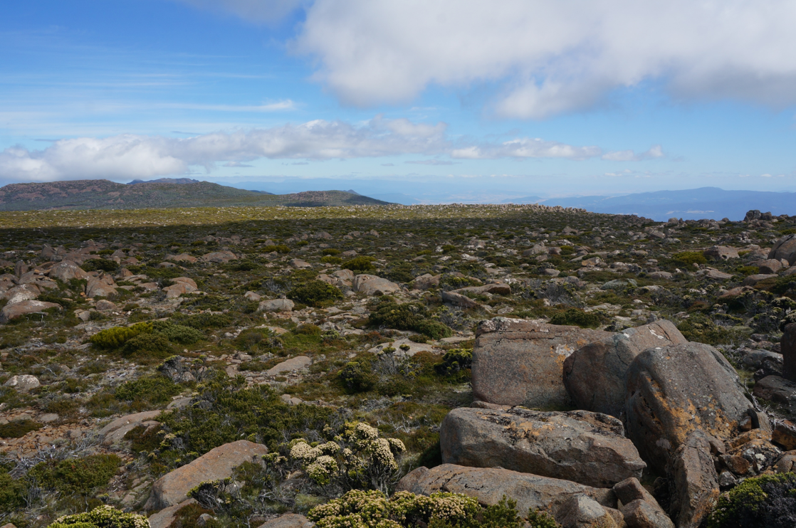
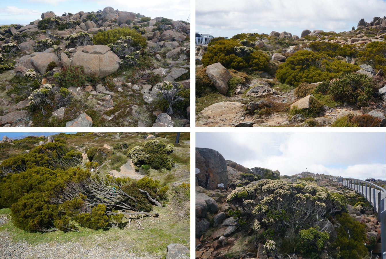
There are many plateau plants here
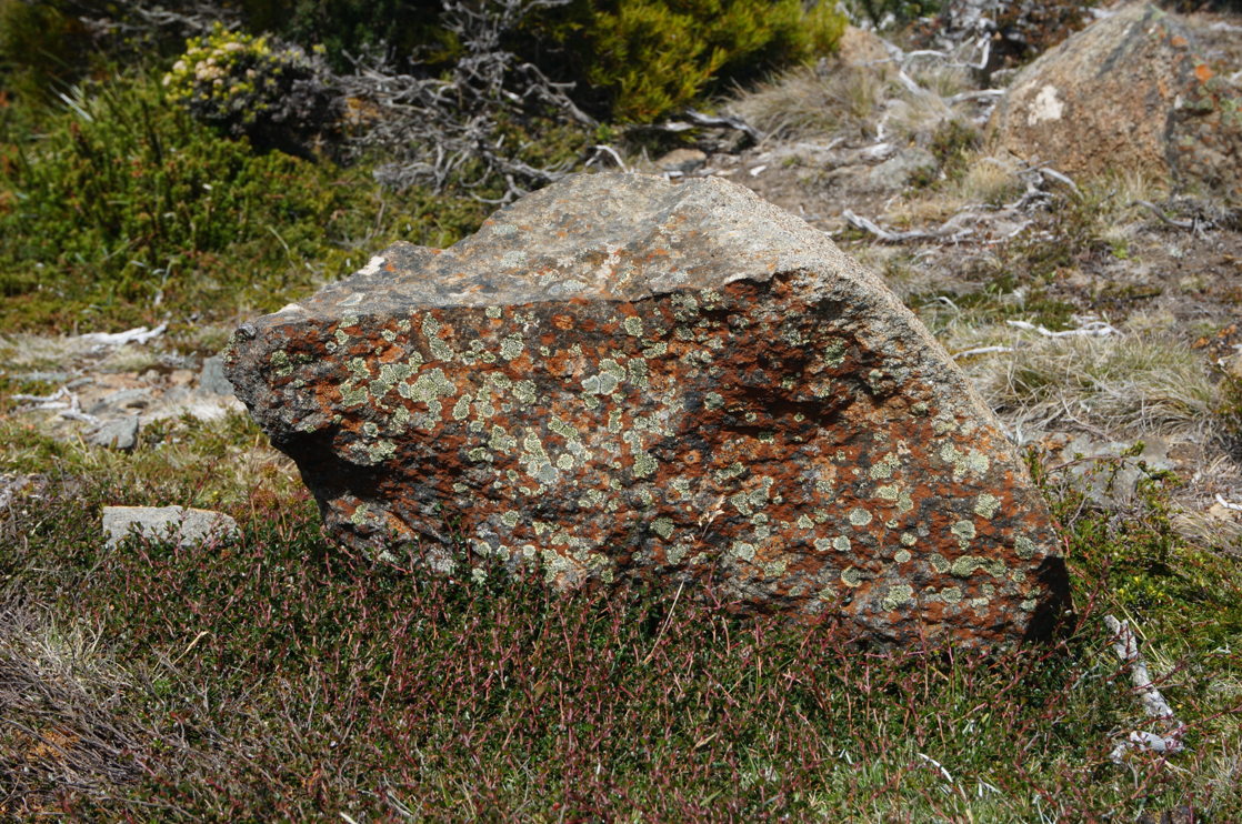
Wow! a lot of lichens
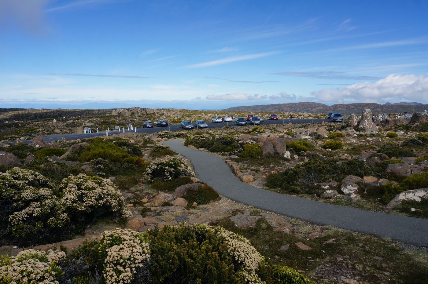
Although it was a Saturday, there were still plenty of vacancies in the parking lot
You can climb over the big rocks (Xiao Mi'er's favorite activity) and climb the platform in the picture below
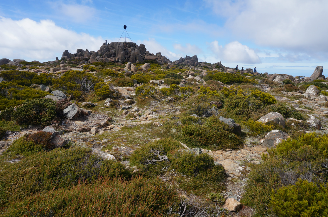
The view there is quite good, and you can see the surrounding scenery of Mount Wellington 360 degrees
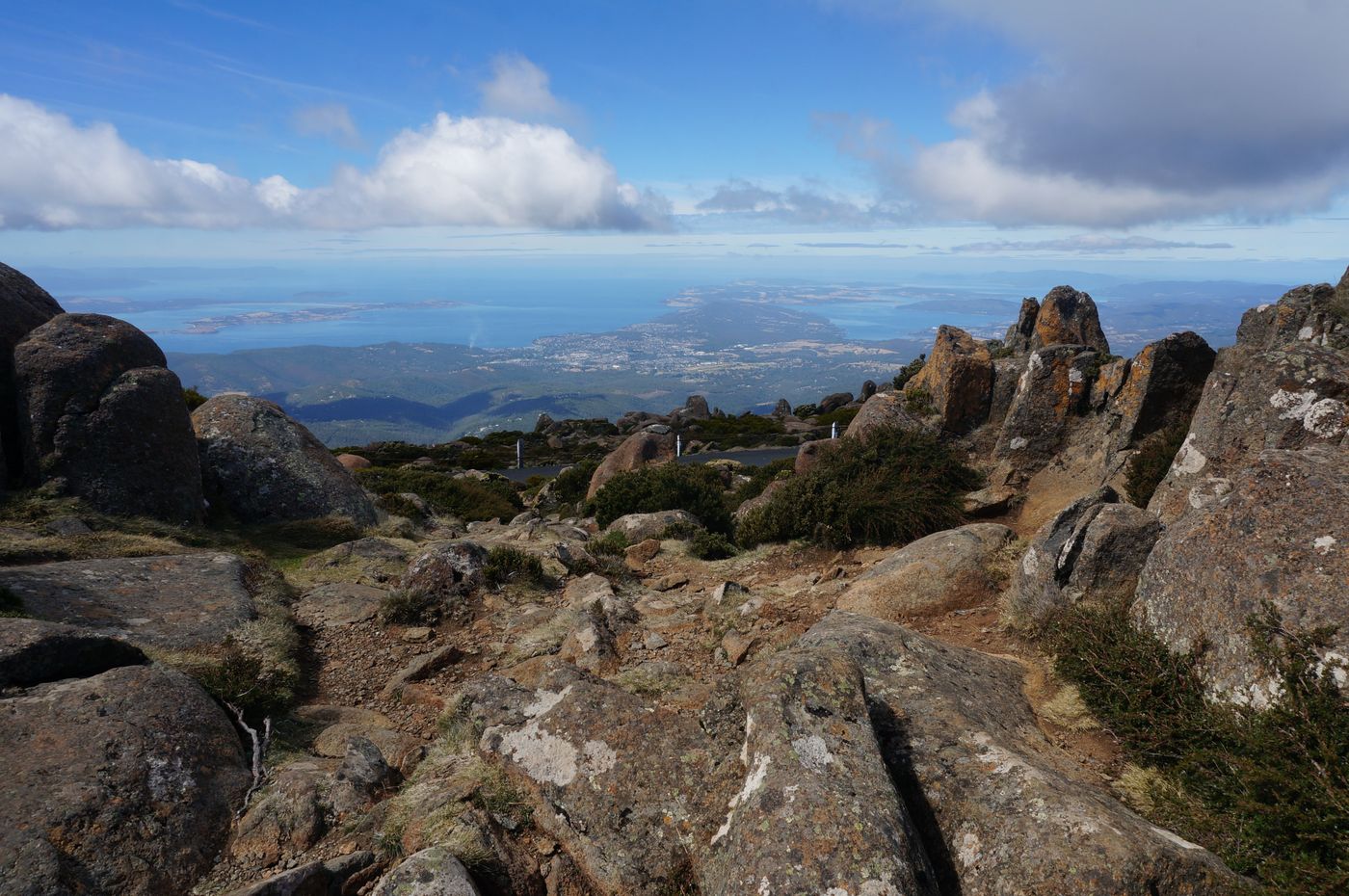
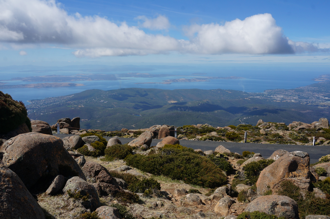
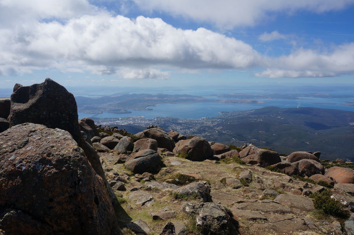
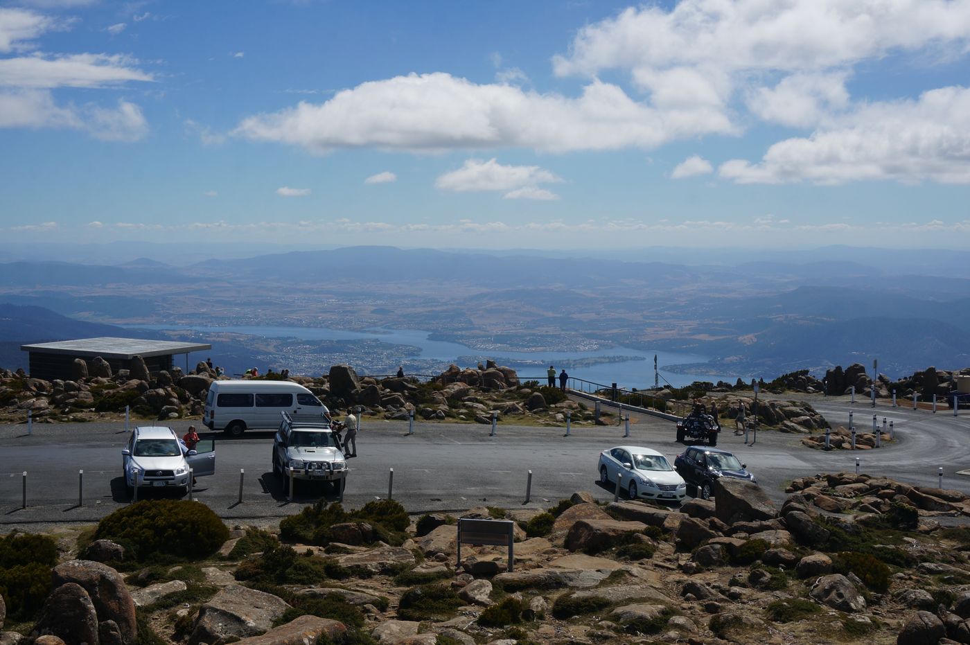
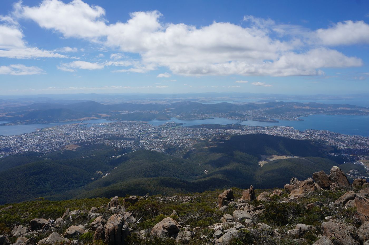
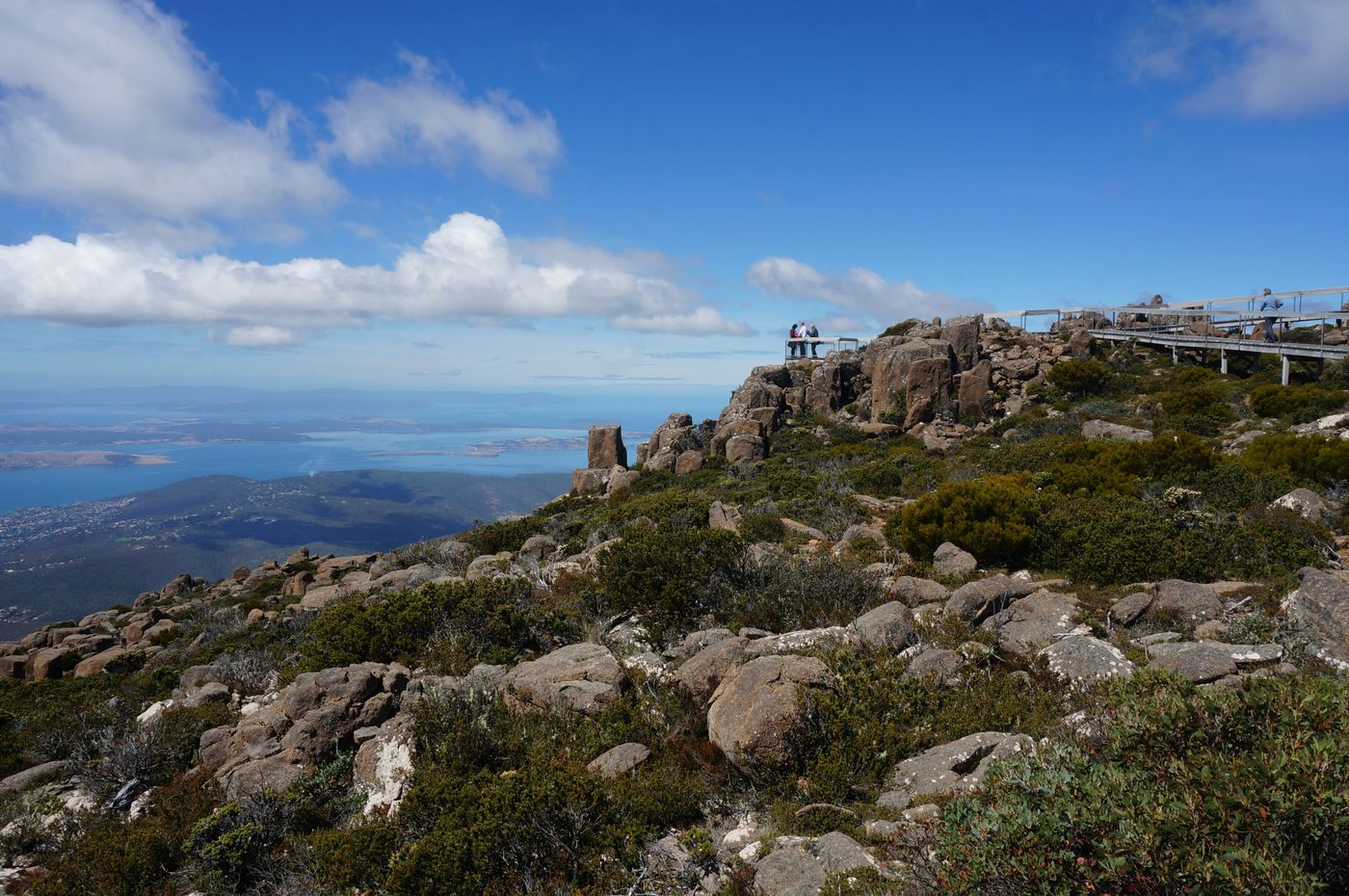
The observation deck on the east side of the car park is the best place to see Hobart
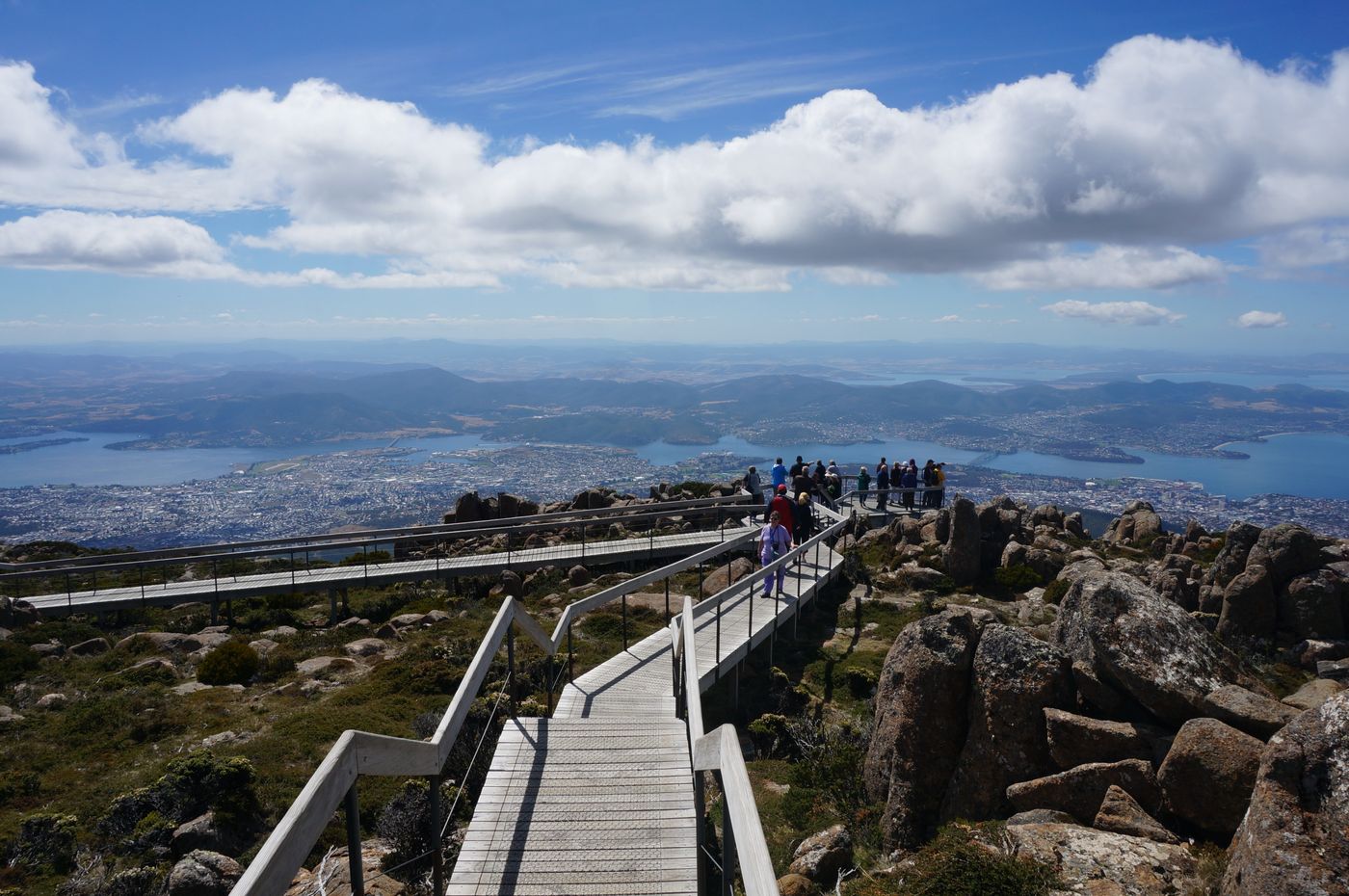
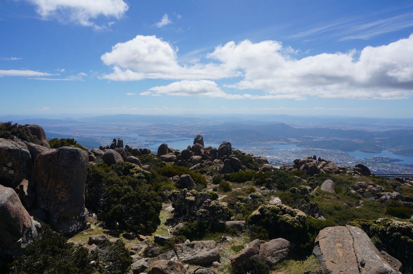
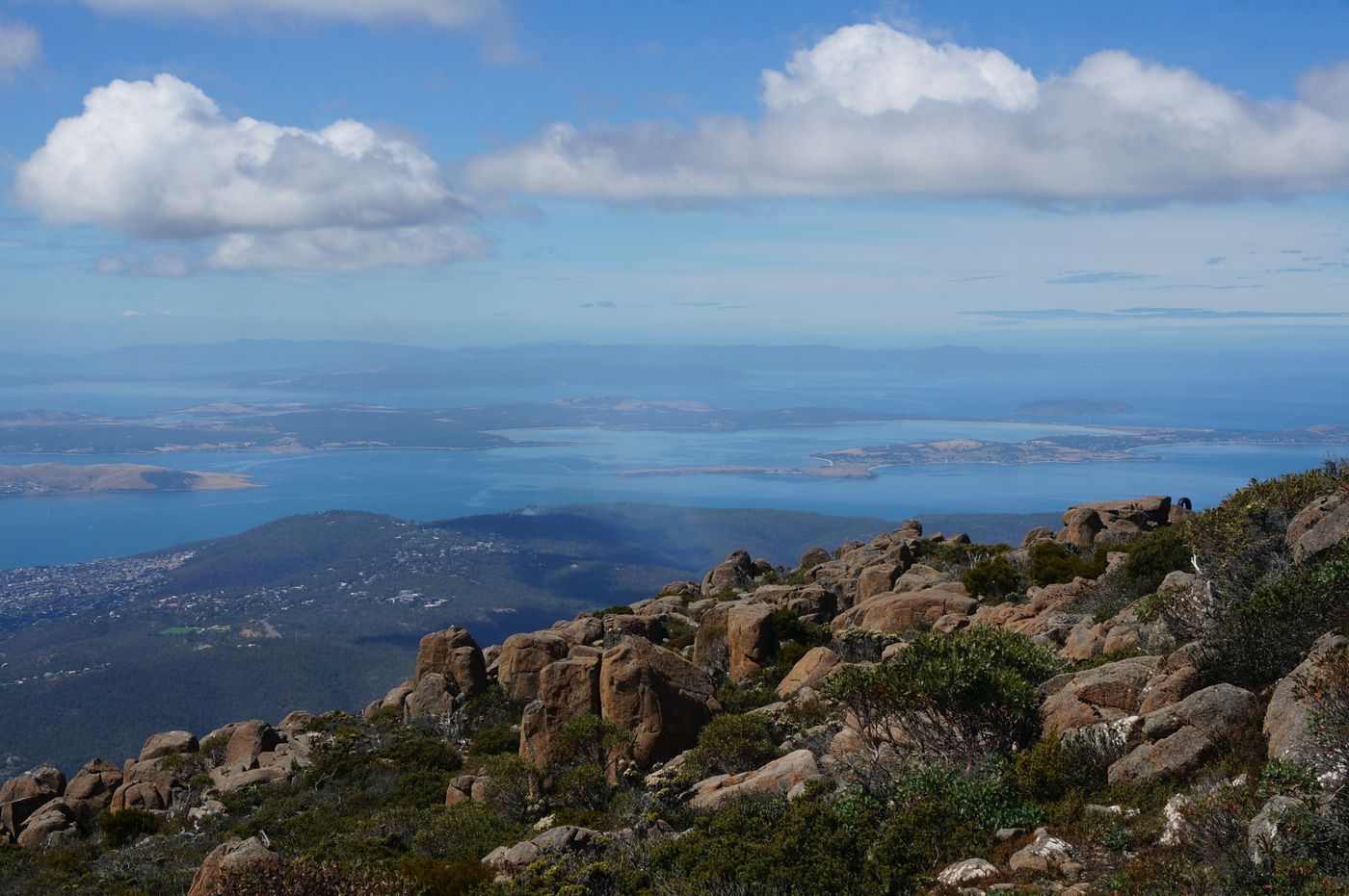
The Tasman Bridge we just passed
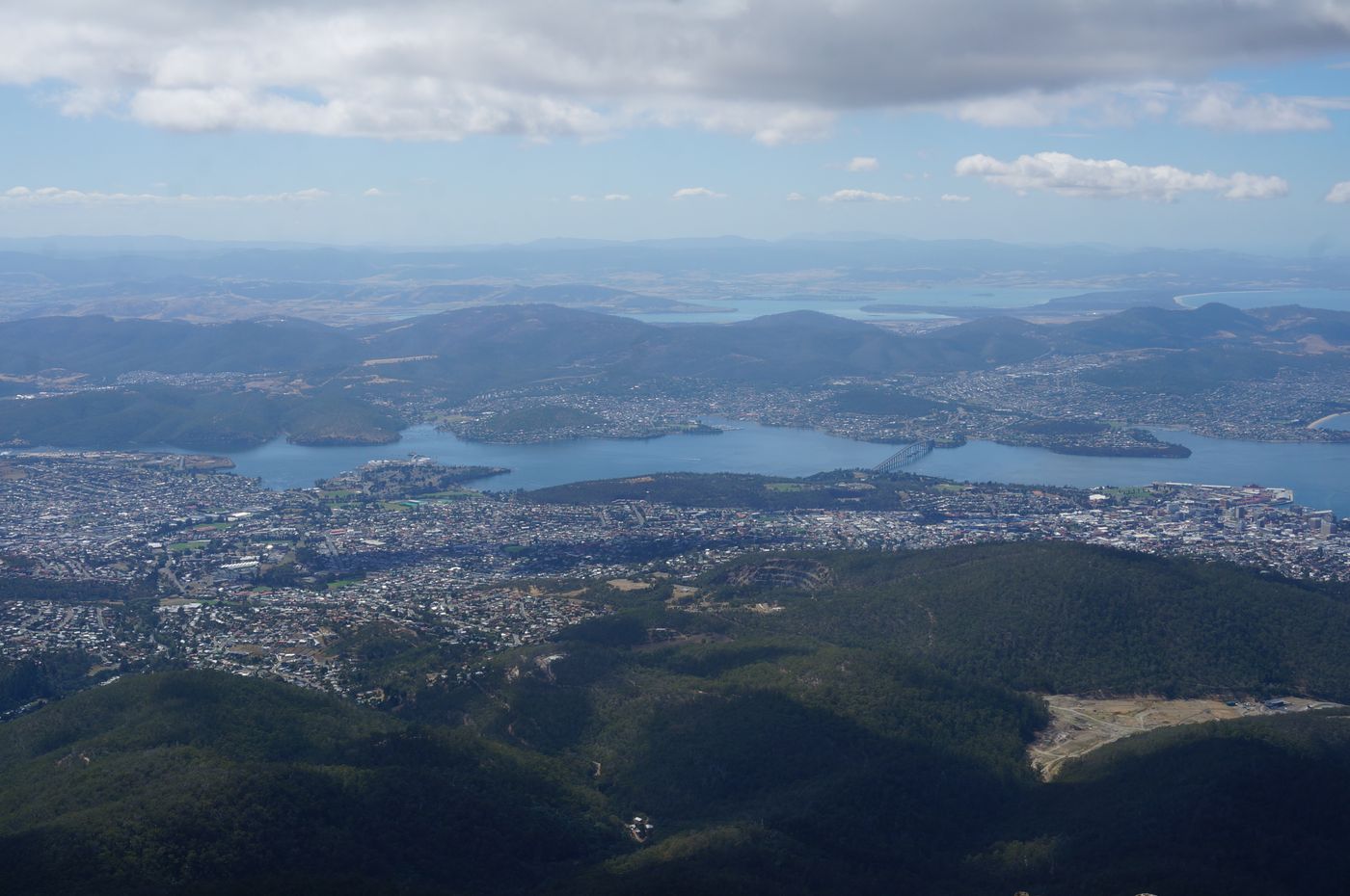
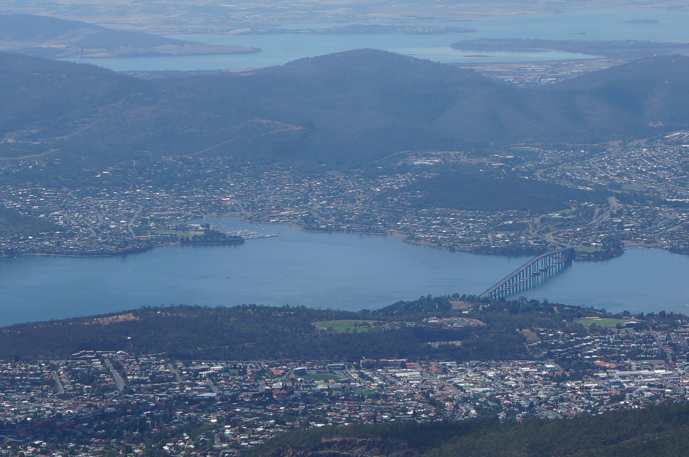
Another bridge that traverses the east and west banks of Hobart, Bowen Bridge
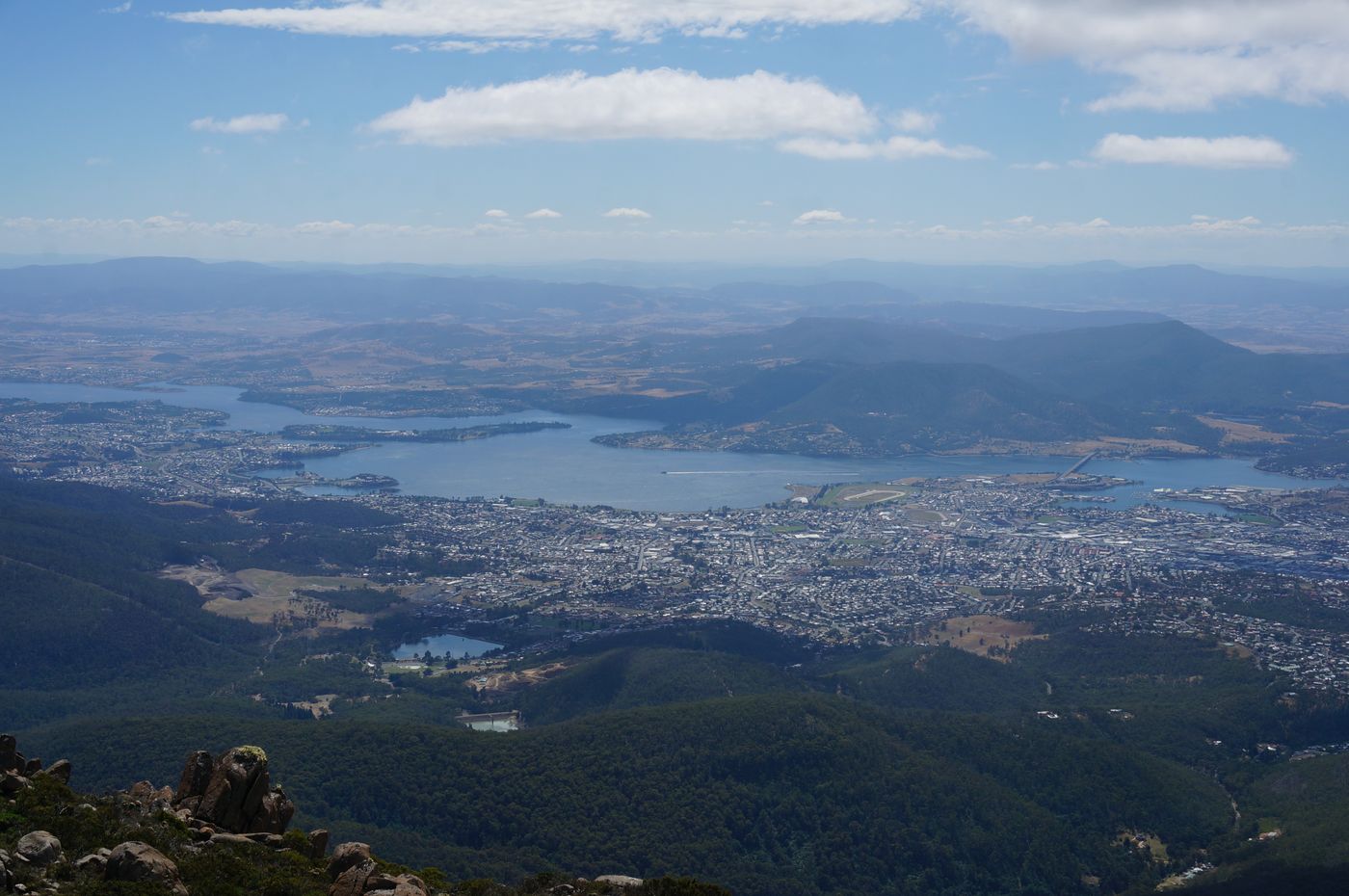
Group photo of two bridges
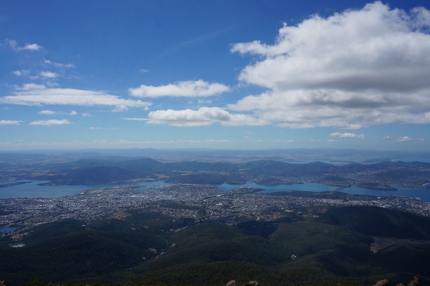
The World Heritage area can also be seen from the observation deck on the east side
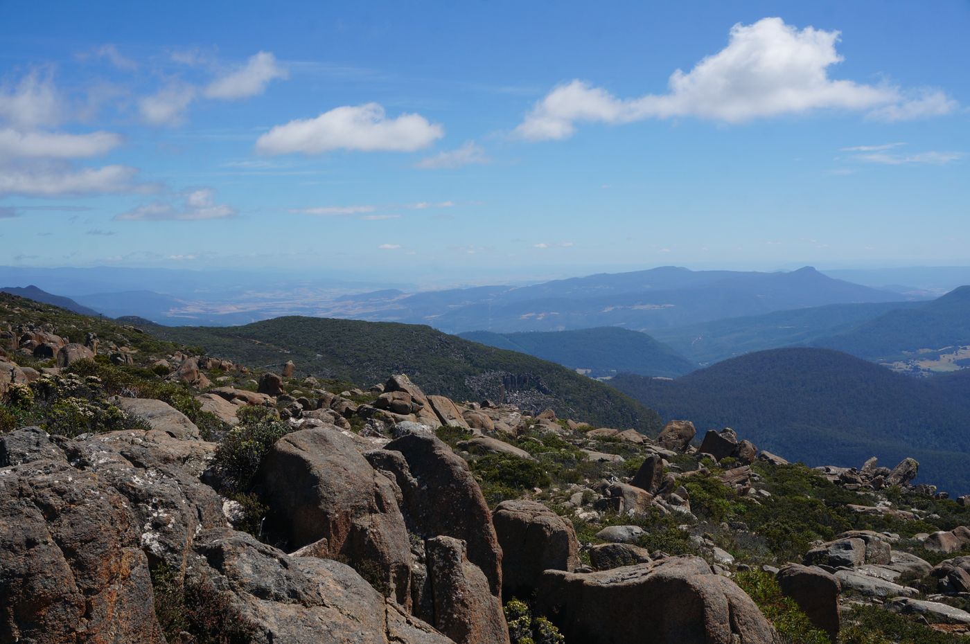
This is when the wide-angle lens comes into play
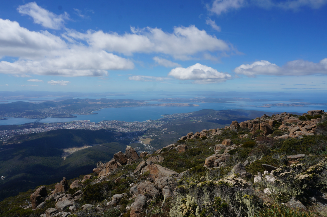
My little concubine, though brave enough to climb on the platform on the rocks
But she wasn't brave enough to stand beside the railing of the observation deck, and the little girl was much bolder
After admiring the magnificent view, we drove down the mountain to find food, and then went back to the hotel to check in
Like my work?
Don't forget to support or like, so I know you are with me..
Comment…