
從物理到電機工程再轉到資訊傳播,最後落腳在社會學。衣櫃拿來當書櫃擺的人。我常在媒介生態學、行為經濟學、社會學、心理學、哲學游移;期盼有天無產階級可以推倒資本主義的高牆的兼職家教。
📝📝: Object Notes|Map
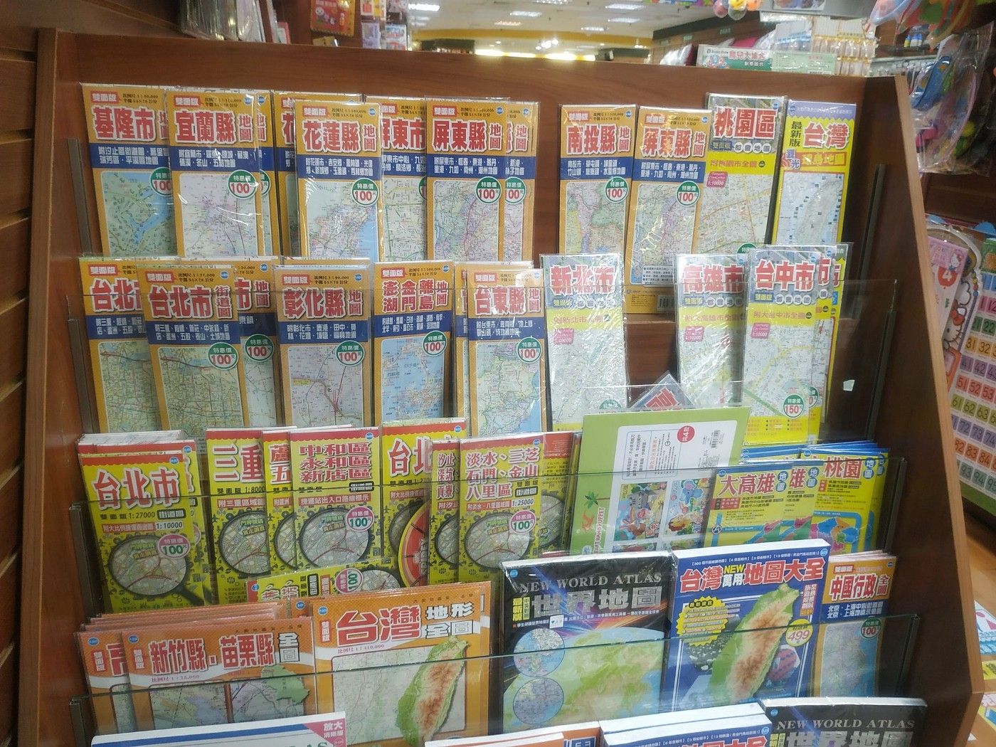
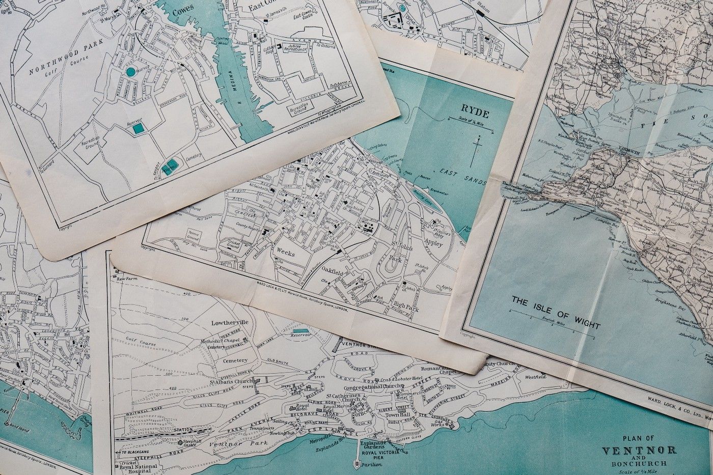
The map is an object with strong localism, and a large part of the function of the map is to allow users to find their own position in an unfamiliar area. The painter of the map compresses the three-dimensional world into a flat icon, and uses a thin drawing paper to record the places in the user's pocket. I can no longer feel lost because of the unknown. Through the map, the world will obey. in my footsteps. Drawing a map is a process of convergence. Only information that is favorable for azimuth identification is left on the map. It is particularly effective in small areas. If the walking range is larger, the map will also become inaccurate with the advancement of the pace.
The large/small map also has a paradoxical convenience here: the large map is widely used but cannot be used in a focused manner; the small map is narrow and precise, but cannot be migrated accordingly. The big map has breadth, and the small map has depth, and the alternation of the two has a negative correlation. I can't walk to Luodong Township, Yilan County with a map of Da'an District in Taipei City and then take a walk to Chishang Township, Dongxian County. In other words, I need three (or more) maps to satisfy my wonderful journey across North and South Korea; However, even if I only carry a map of the whole island of Taiwan for my convenience, it can't really meet my needs, and I get lost in this green land under my feet.
╴
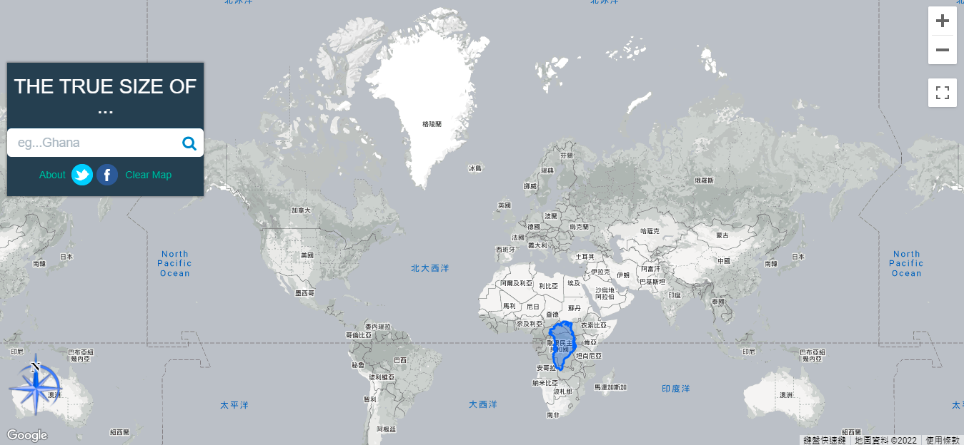
In the 16th century, the expansion of the nautical ambitions of Western European countries gave birth to the invention of various map projection methods by physicists, so that the sailing team could successfully dominate the boundless ocean on the way of expedition. Among them, the map made by the Mercator projection method is most often used for navigation purposes. The projection method used to draw the map is named after the Flemish geographer Gerardus. Gerardus Mercator, who in 1569 published a world map with a length of 202 cm and a width of 124 cm drawn by his own projection method. On the map drawn by this projection method, the earth will be expanded equidistantly on the plane, and the meridians and latitudes will intersect vertically at any position on the map, so that the world map can be drawn on a rectangular drawing, and any point of the map can be drawn. The lengths are equal in all directions.
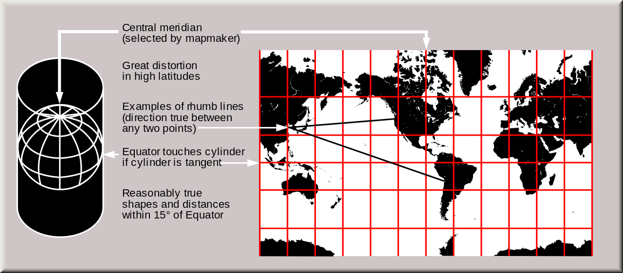
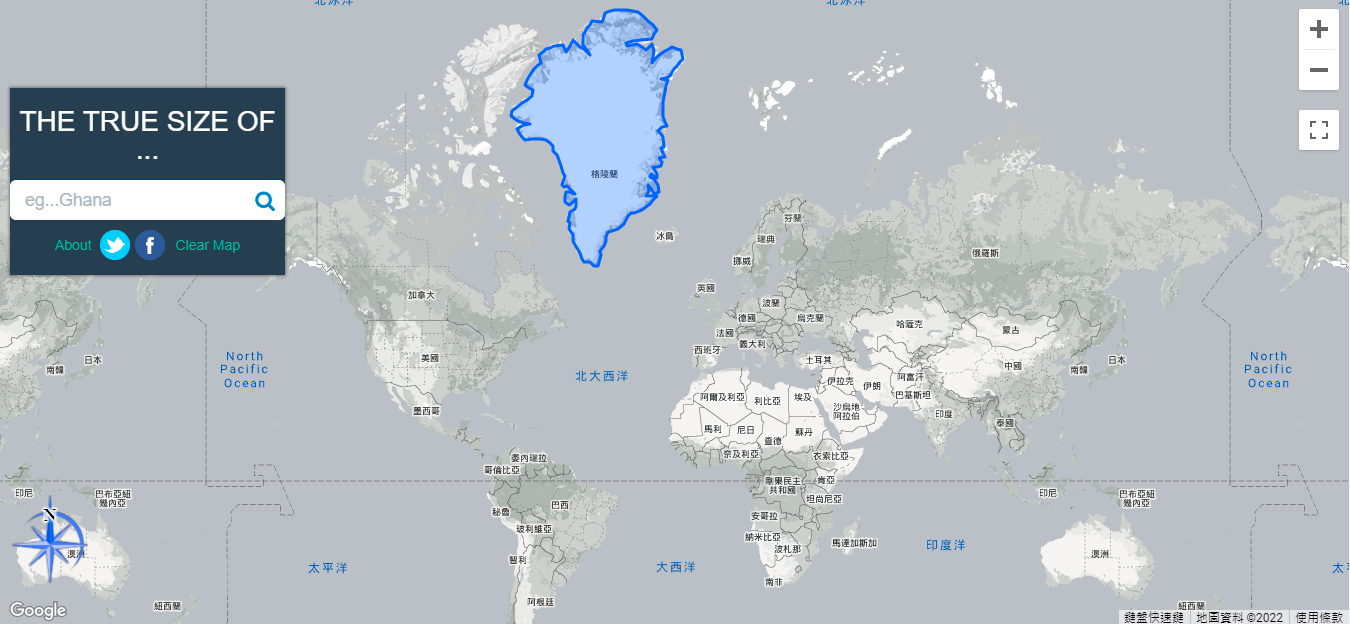
Navigational expeditions at that time mostly occurred in the 30 latitudes north and south of the equator, which is also known as the tropical/subtropical region; therefore, given the precise relative position of any two points on the Mercator map, the map became the most extensive in the age of navigation. Used nautical map. Ambitious navigators did use this map to discover many unexplored treasures, including the Aztecs in Mexico, North America, which was still a barren land at the time, and a blessing the size of a sesame seed in the Pacific Ocean. Hermosa; however, also because of the Mercator map, the geometric errors generated by the drawing process are embedded into the user's imagination of the world. (You can experience how the map zooms around on this interactive website )
╴
╴
When the map encountered digitization, the problem of changing one by one was also solved. Today, everyone has a powerful world map in their hands, big or small, near or far. The digital map can better meet the needs of each user, and tailor the most suitable travel route between the two places, instead of drawing on the yellowed map with a ruler. The development of the map so far has solved the problem of finding a way for many people, but it has also brought the hidden worry of path dependence: we cannot go anywhere without a map. When we hold the map to point out the direction, what we see is only the plane of the three-dimensional world and the projection of the real world; the depth of mountains and seas cannot be seen on the map, but only the direction of the journey. The impression is more blurred.
Once I went to Yilan for a trip, I deliberately didn’t bring my mobile phone with me, so I chose to “open” to find my way. I stumbled and stumbled along the way, and even mispronounced "Dongshan Road" as "Song'an Road". As a last resort, I asked the tourist service office for a map of Luodong Town. Relying on the map's sketch to compare the actual landmarks, I finally returned smoothly. Go to the youth hostel in Jiaoxi. When I got back to my residence, I looked back on my two-hour wandering trip in Luodong, and it only took me 45 minutes to get back and forth on Google Maps. I lay in bed after the grooming and thought, what have I learned after all this tossing? Later, I understood: I am not using the map, but relying on the map, to the map, I seem to be a child who cannot escape from the swaddling autonomy.
Like my work?
Don't forget to support or like, so I know you are with me..
Comment…