
停船暂借问 或恐是同乡
Nomads on the Pacific Shores | Redwood National Park: A wet body under the world's tallest species
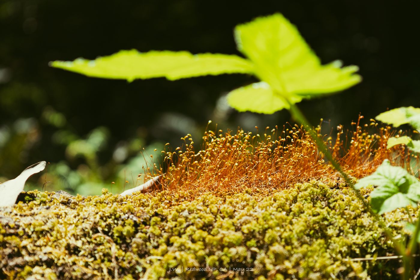
It would be perfectly reasonable to say that I am now straying into the world of adventure blockbusters. After all, "Jurassic Park" was also filmed here.
At the top of the canyon, thick redwoods blocked the sun, and the chirping of birds was distant and vague, as if the wind could not penetrate. On the wet cliffs, wild ferns wrap the canyon in a green blanket, rhythmically rhythmically following the water. The stream was cold, and the branches of the withered redwoods fell in disorder at the bottom of the valley, blocking large and small whirlpools in the waterway. Ah, it is indeed a very prehistoric blockbuster setting.
And like most movie protagonists, I've just had enough surprises to show off with a few slow-motion facial close-ups and a bit of BGM. A family approached, and it seemed that they were going to ask for directions. But as they approached, the first words they spoke became:
"Oh man, are you alright!"
Welcome to the third story in the series. After leaving the lost coastline and smoking a pho at Eureka, I've been walking through the towering redwoods. I'm in the depths of Fern Canyon right now, with a cool breeze and a bit of an awkward situation.

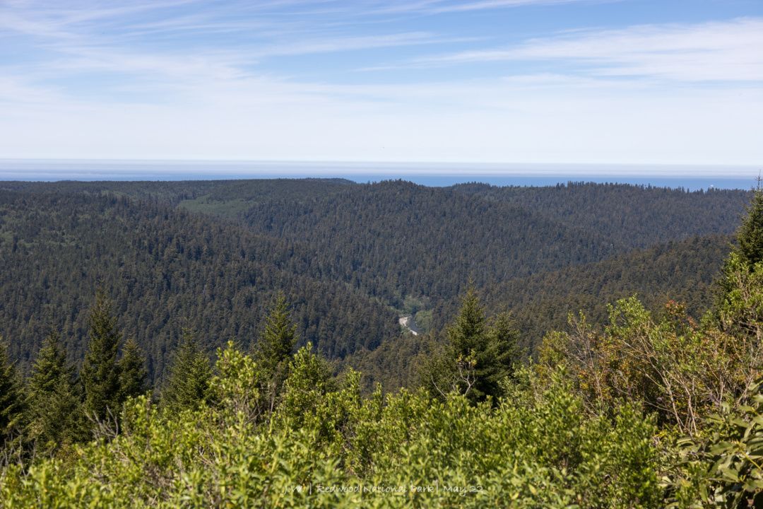
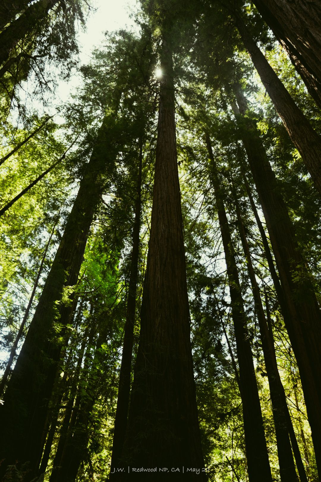
Redwood NSP: Science Time
On the northern coast of California, redwoods are absolute protagonists of the landscape and ecosystem. Before you start hiking, put in a piece of popular science:
Coastal redwoods (Sequoia sempervirens) , the tallest known plants in the world, inhabit a narrow coastal stretch from southern Oregon to central California. The thick bark of coastal redwoods is naturally resistant to insects, fungi and fires, and it also allows them to continue to live for a long time, and can live to be 2,000 years old at random. Their growth requires abundant water supply, especially in the dry summer, 50% of the water comes from the mist transpiring from the seaside of the Coastal Mountains. They can even capture fog through their leaves to achieve "arborist rain." Because of this, once inland, they cannot find a mild and humid oceanic climate suitable for their survival.
Although the giant sequoia (Sequoiadendron giganteum), a close relative of the Sierra Nevadas, which also owns a national park, belongs to the subfamily Sequoioideae, coastal redwoods are more slender and taller on average. In daily life, however, the acronym Giant Sequoia is given to this giant relative, and the Coast Redwood is more commonly known as Coast Redwood.
The strong Sequoia is the giant sequoia, and the tall one is the Sequoia Redwood, both of which belong to the Sequoioideae subfamily Sequoioideae, and are two well-differentiated trees in English. However, in the Chinese context, since the word "Sequoia Capital" appeared, the translation name has been completely confused (although "Giant Sequoia Capital" does sound a bit evil...).
Enter "Sequoia National Park" on major self-media platforms, and you will be able to see the travel notes of Sequoia and Redwood, two national parks separated by hundreds of kilometers, as well as the marketing numbers. I specifically emailed the California Tourism Board, and the answer I got was that they translated Redwood as "Sequoia National and State Park" and Sequoia as "Sequoia National Park."
I have only six things to say about this...
I can't accept this translation, the adaptation is not random, the giant sequoia is not a redwood, this deliberately makes people unable to distinguish the park, the nature is extremely bad, and the responsibility lies entirely on the US side (stop!).
Therefore, in this article, I will use the English name first, and the translation will refer to the traditional Chinese Wiki translation: Redwood = "Redwood National and State Park"; Sequoia = "Giant Sequoia National Park". In this way, the scientific error of calling the wrong species is avoided first. Although the meaning of "Redwood" in Chinese is not equivalent to Sequoia, the word "Redwood" is too easy to be taken literally, so the literal translation is also in line with mainstream habits.
It's easy for me to write an essay and be an old school. I...

When talking about the lost coastline and the rise and fall of California's logging industry, it has already been mentioned that coastal redwoods were once massively cut down in history, and California's 6,000 square kilometers of coastal forest has plummeted to 485 square kilometers. It was not until 1918 that Steven Mather, the first director of the NPS (the one commemorated by Mather Point, the most classic viewing platform of the Grand Canyon), used personal connections to let his friends establish a semi-official endorsement NGO Save the Sequoia Alliance (Save the Sequoia Alliance). Redwoods League) , only to gradually stop the momentum of disorderly felling.
The campaign to save the redwoods was a beautiful battle when the national park system was first established, and it has also become a benchmark for the national conservation movement. A hundred years ago, the first generation of environmental protection pioneers told the story and made unremitting efforts, and finally achieved the three state parks established in the 1920s and the national park established in the 1960s. The four parks currently protect 45 percent of the coastal redwood forests that survive deforestation and are collectively known as Redwood National and State Parks .
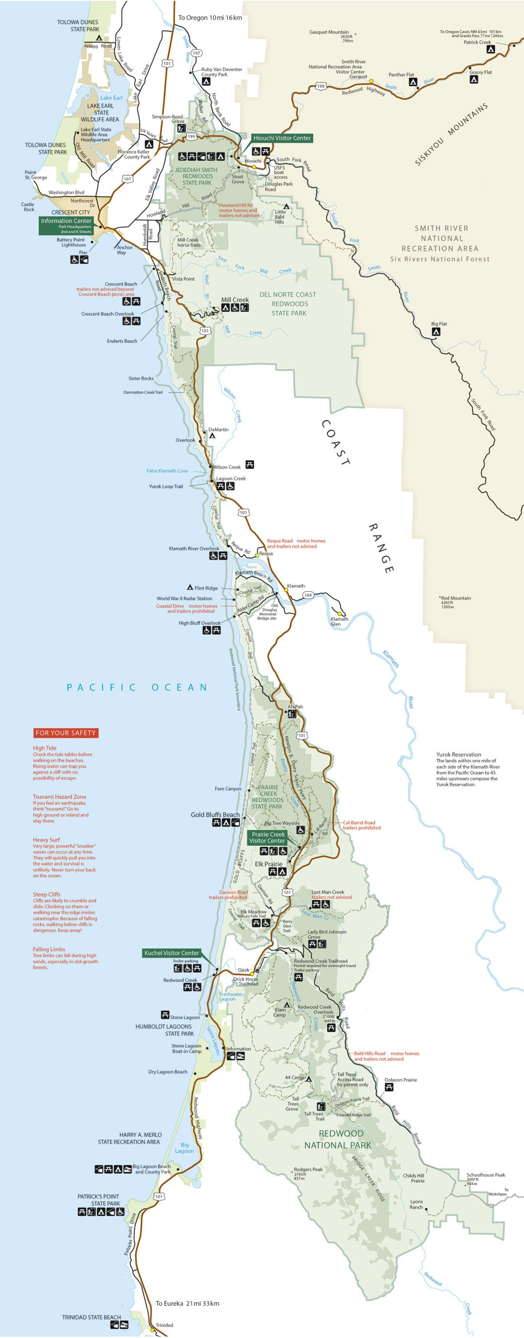
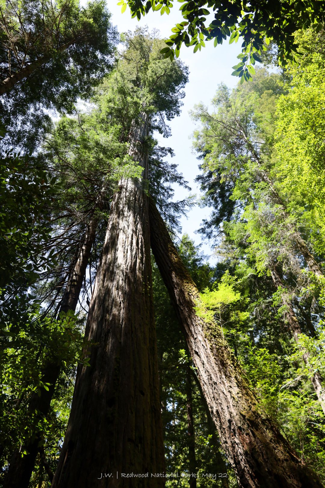
Fern Canyon: Wet Temptation in Fern Paradise
Fern Canyon is a special presence in Redwood NSP. This is a small canyon washed out by running water. The gurgling stream constantly brings water vapor, and the redwood forest at the top of the canyon blocks the sunlight, making the cliff a paradise for ferns to grow. Walking on the bottom of the valley, all eyes are covered with velvety green, as if leading to the seclusion of forest elves, and like the free and scattered earth before human beings appeared.
Since it is a valley, it is natural to wade forward. It’s not uncommon to walk on water trails. From The Narrows in Zion, Utah, to the waterfalls in Oregon’s Columbia River Valley, everyone knows how to prepare for a meal: those who have water shoes can walk with confidence, and those who don’t have water shoes are close to the cliffs. Wall walking is not too difficult. As long as you don't run into the middle of the river, it's a matter of getting your shoes wet at most.
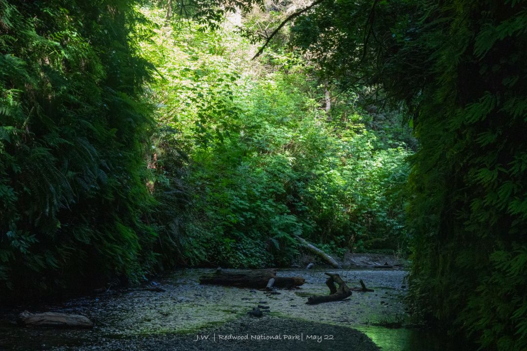
However, the flag stands really well. It's a short walk of less than a mile, and at first I followed my predecessor with ease. But in late spring, there is plenty of water, and in the middle of the deepest and narrowest valley, the water level suddenly becomes quite high, and it seems to gather into a small pond. The old couple walking in front of me didn't seem to find a way, and after many struggles, they decided to turn back.
Why is there no spirit of exploration? I don't think I can be so weak. And after reading several guides, all of them said that this trail is a pedestrian bridge, maybe it is near here. So I went a little further and searched around for a while. When I saw a mahogany spanning a stream, my first reaction was to admire the professionalism of NPS: this bridge can not only allow me to cross the river, but also integrate with the surrounding environment, it is really high! The official route must be to cross to the other side of the river and continue walking!
The result...of course it was self-indulgent. Just two steps up, the "bridge" made an overwhelmed sound, and then began to roll under my feet. I kept running for three seconds in a hamster posture, and I couldn't escape the fate of falling into the water.
It's watery enough. I fell right in the middle of the creek, the water level down to my waist. Run back to the shore to find out what's going on. The shoes are said to be water resistant, but it is estimated that the R&D team cannot consider this extreme situation. Now every step is like frying a steak on the ground, crunching and juicy. The pants were a little more troublesome. They were full of water, heavy and heavy, and bulged into pieces, as if they had given themselves a weight training session. My clothes were half wet, but my backpack and camera were nothing. The worst thing is that there are many people on this trail, and I can't seem to be a hooligan in public. Just go back to the car and talk about it.
At this time, a person came from behind, and he gave me a complicated look, and just at the place where I walked on this "pedestrian bridge", he chose another fork in the road. Clinging to the cliff, he took his way from a slightly higher ground, stepped on the big rocks, pushed aside the ferns with his hands, and stepped over a few logs, and passed me in front of me with ease, pleasure, and dryness.
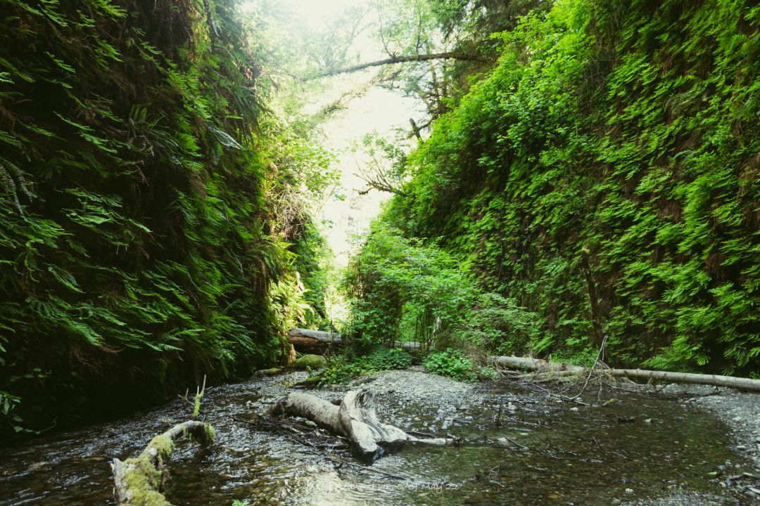
I take care of you! Those who are wet are not afraid of wearing shoes. I am like this anyway, so I just walk in the water. Not to mention, the water temperature is quite comfortable. The redwood forest blocked the wind, and the valley was quite sultry. If I ignored the fact that I was using a full set of mountaineering equipment to play the paradoxical beauty, walking in the water would be more comfortable.
Unfortunately, just after turning a corner, the valley suddenly opened up and the water level dropped. As the saying goes, when the tide recedes, we only know who fell into the pit... Others can't see the lower body in the water, maybe they think I'm a professional player, but when I get back to the land and see clearly, it seems to be a bit miserable.
Sure enough, I immediately ran into a big family who were walking in the opposite direction, and the opening scene happened.
There is nothing wrong with me, but my pants are still dripping water, and wherever I go, a tributary flows out. I told them that the road ahead is not difficult to walk, as long as you walk carefully on the side, you will not fall into this, at most your shoes should be a little wet. But who would believe it?
After finally leaving the valley, I met a ranger who came to inspect at the entrance of the trail. Hearing my question, she widened her eyes: "What's a footbridge?"
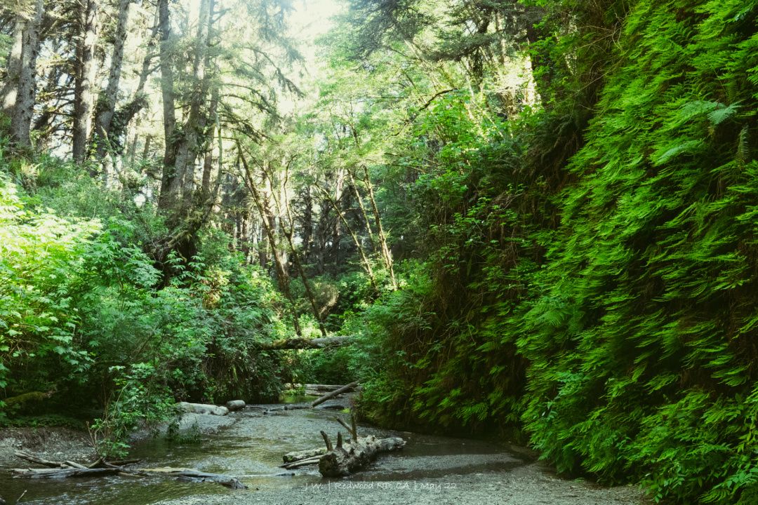
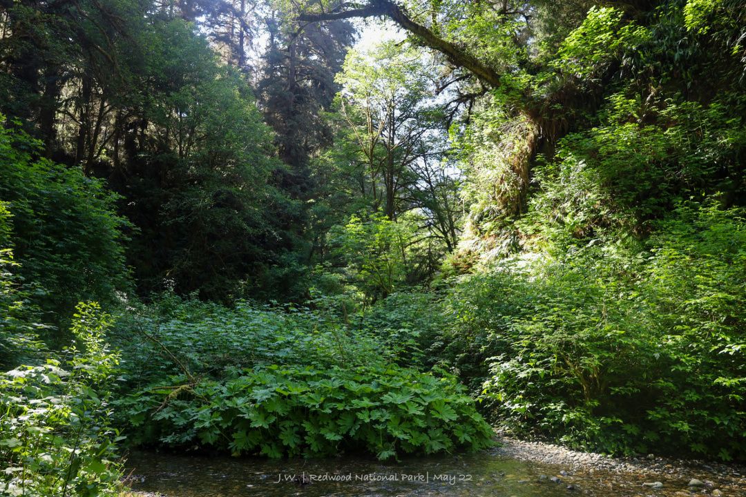
Tall Trees Grove: Under the Hyperion Sky
I experienced the biggest accident on the journey so far (as soon as I heard this attribution, I knew there was a story behind it), but fortunately, I was in the car with all my wealth and clothes. I went back to the camp to take a shower, put my shoes on the roof of the car and let it enjoy the sunshine for a while, and then I ate the dry food I bought yesterday, and I was ready to go again. The next thing to do is obviously more related to this national park - look at the trees. Redwood NSP is the essence of the coastal redwood forest, and the Tall Tree Grove Trail , which is limited to 50 vehicles a day, is clearly the essence of the national park.
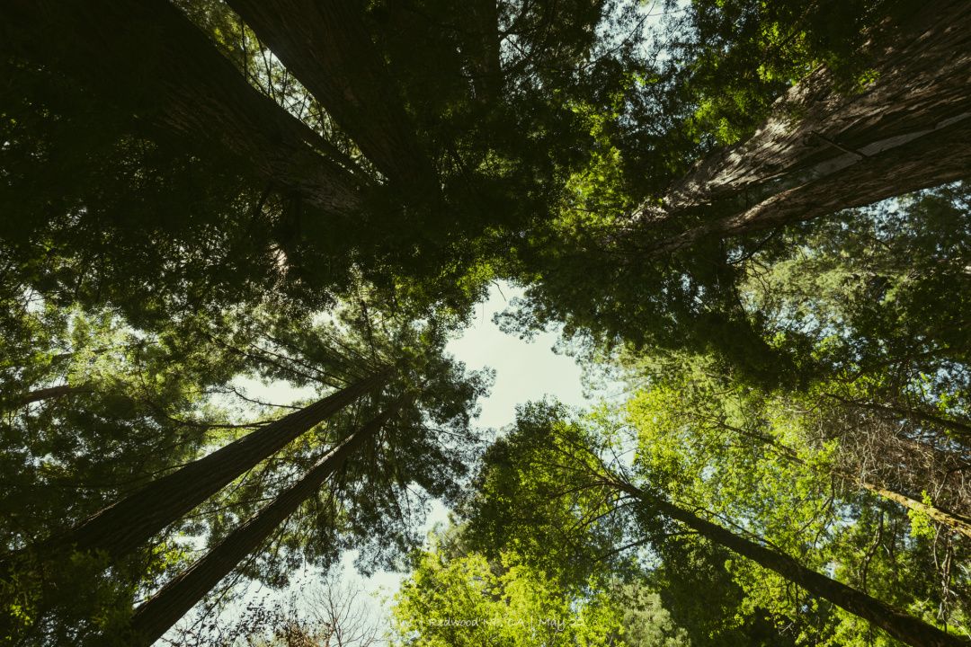
Accompanied by the endless redwood forests on both sides, the mountain climbed for 40 minutes before reaching the trailhead with a combination lock and unlocking this level with a permit. The 116-meter-high Hyperion , the tallest tree in the world, is hidden in this forest, but the park has never announced its exact location. When you look up at the sky, you may be gazing at the top of what life on the ground can reach.
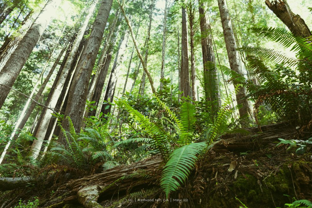
Tall Tree Grove is 4.5 miles long, more difficult and more rewarding than Fern Canyon's family-friendly (and hapless-prone) style. Although the focus is on looking at the trees, as the terrain changes, the levels of the landscape are very diverse. When you just entered the trail, the altitude is higher, and the dense redwood forest is mixed with other shorter trees; when you descend to the river beach at the bottom, the environment gradually becomes humid and hot, ferns and cypresses appear on the ground, and the redwood trunks are on the ground. The moss-covered green clothes have a mysterious and primitive atmosphere, and it seems like Jurassic World, where creatures from the last era are still hiding somewhere.
Only in such an environment can the height of the coastal redwoods be truly felt. The slender tree trunk can completely catch the word "rising from the ground", without branches and leaves, pointing straight to the sky. It was not until the distant 100-meter altitude that he breathed a sigh of relief and stretched out the leaves, facing the place closest to the sun.
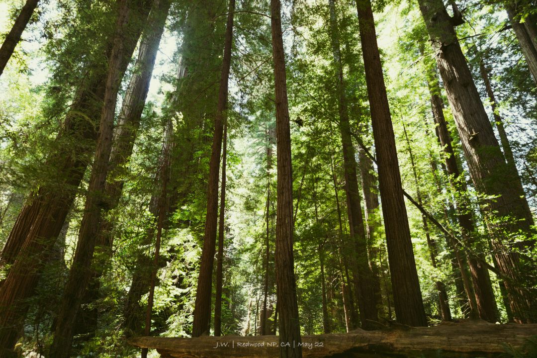
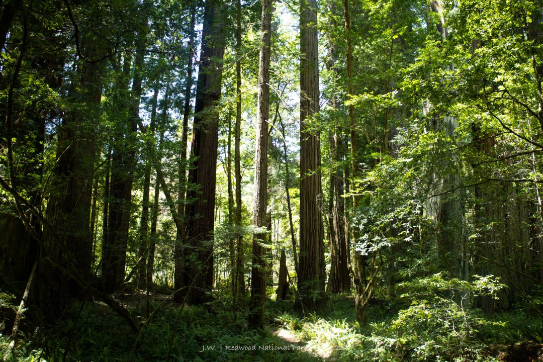
The towering canopy takes up all the sunlight, the shady ground becomes the home of shade-loving animals and plants, and a single tree nourishes an ecosystem. Sequoia trees know how to capture fog, and they make the ground permeate with a hazy mist all year round, nourishing countless small plants that can’t be named. Deep and light green, reflected in the green halo in the sky. In addition to looking up at the sequoias so high that their necks can be twisted, you can't miss the surprise at the bow.
One of the surprises was that, in the deserted forest, just as I set up my tripod and was about to take a selfie with Sequoia, I ran into the family I had persuaded to leave in the morning, and beat him up again in a very normal and embarrassing manner. a greeting.
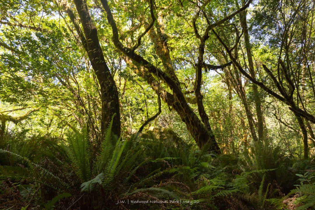
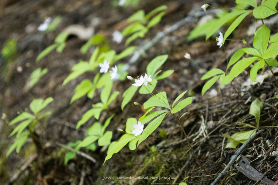
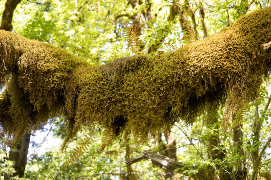
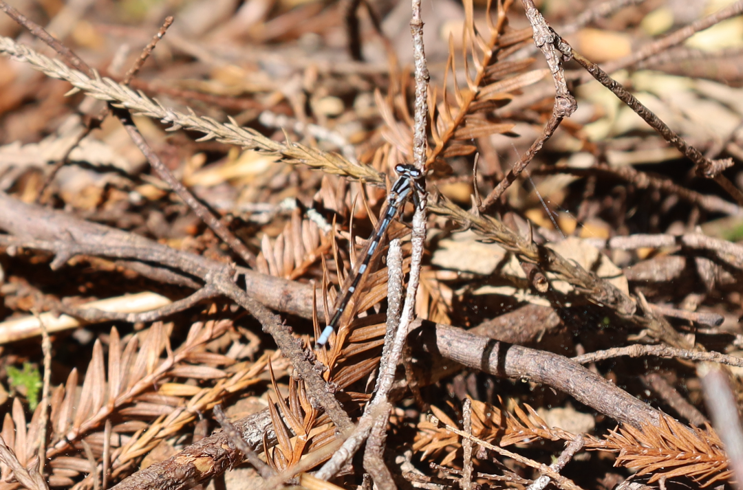
Leaving the redwoods, the northern boundary of Redwood NSP is Crescent City. This is the last town on the northern tip of California, and further north is Oregon.
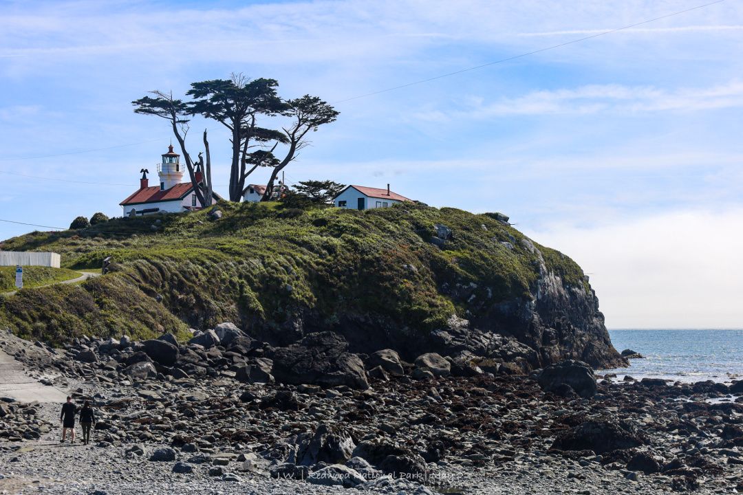
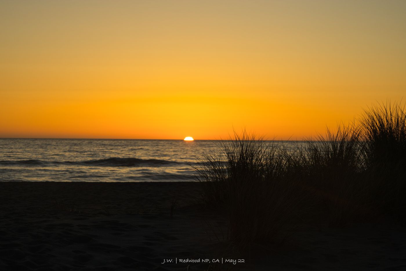
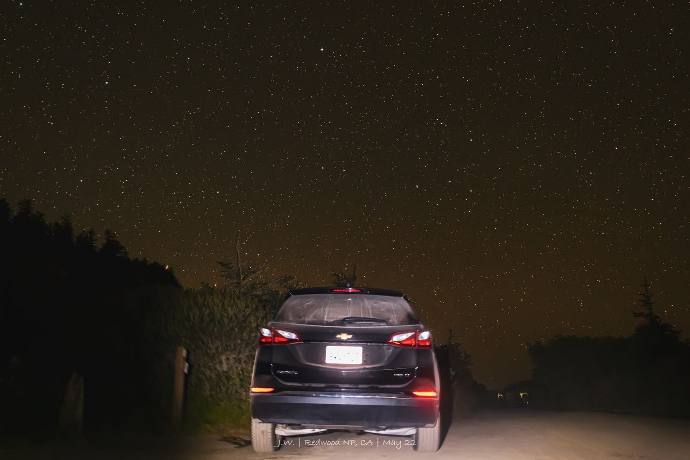
next episode preview
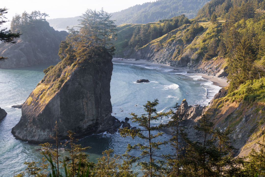
Finally, I was about to enter the Oregon I was thinking of. For tax exemption, I insisted on not refueling, and drove the car to only 10 miles of gas left. Despite being close geographically, Oregon's coastline takes on a completely different style. The rocky beach, gloomy and rainy weather, and the fishing port in the sea fog seem to be able to see the water column of whales in the distance. This is a journey that belongs to Oregon Route 101.
Like my work?
Don't forget to support or like, so I know you are with me..
Comment…