中共体制有一种拔然脱俗的可能,共产党可以带人成神带人飞。
Canadian Territory Division Act
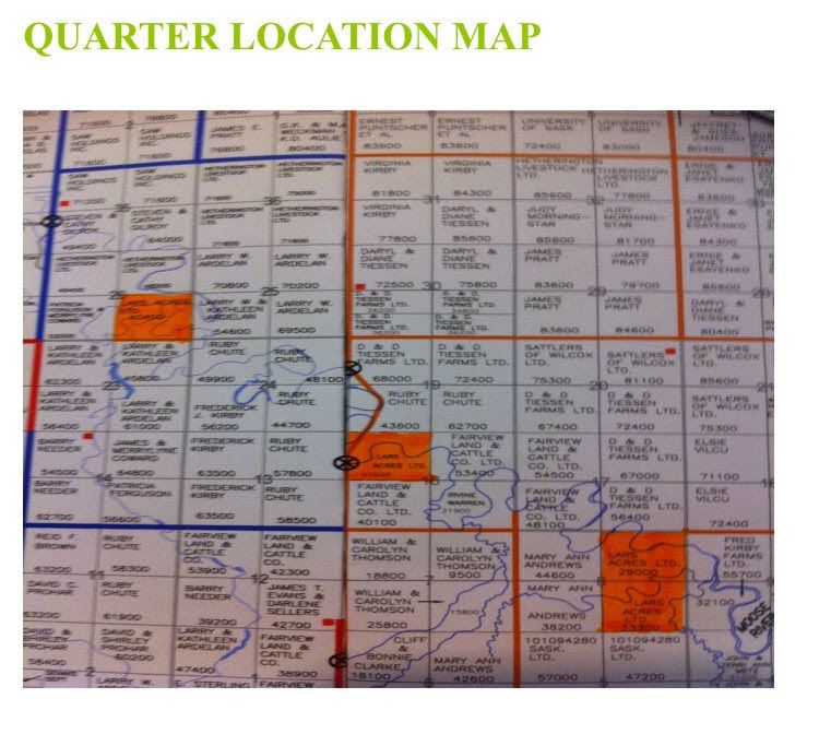
The division and planning of land property rights in Canada was done in 1871, a full 150 years ago. The land boundary is a horizontal and vertical coordinate system, as well as longitude and latitude. 1 mile X 1 mile is a square, and then divided into four to become the word "field". As shown in the figure, there are four independent property rights in a field, 800 meters square, 1/4 square mile, referred to as a quarter, 160 acres, about 1,000 Chinese acres, thousands of acres are composed of dozens of quarters, which can be similar. Neighbors can be dispersed.
Each piece of land has a number that contains the factors of east, west, north and south. Farmers will know the location of the piece of land when they see the number, and the whole of Canada is unified.
Here's an example of a plot number:
SW-15-10-25-W2
W2: Western Canada II (west of Manitoba);
25: 25x6 = 150 miles west from the W2 boundary;
10: 10x6=60 miles north from the US border;
15: Field word No. 15 in the above block;
SW: Southwest corner block of No. 15 Tianzi.
There is a special navigation software in the local area, enter the land number, and you can drive to the ground. Link

Like my work?
Don't forget to support or like, so I know you are with me..
Comment…