
☆★目前更新到日本篇★☆ 四處走走看看 吃吃喝喝 交交朋友 📷 - Travel 🇮🇩🇲🇾🇸🇬🇵🇭🇦🇺🇭🇰🇲🇴🇯🇵🇰🇷
【TCLin's Travel Log】 Japan Attractions: Mt. Rebun
Location: Rebun Island, Hokkaido Today's plan: Climb the highest peak on the island - Mount Rebun
Departure from Xiangshen - the bicycle on the inner road takes about 40 minutes. You can also take the bus and get off on the inner road, but there may be problems with the return trip due to the long interval between the buses on the island.
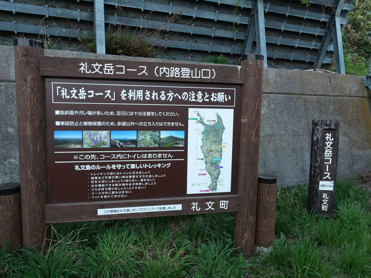
It was a gentle uphill at first
The scenery when looking back ▼
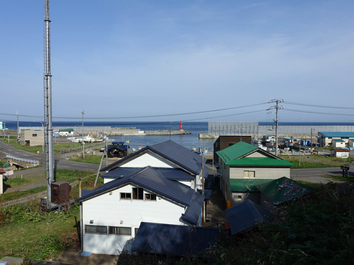
Gradually the height gradually becomes smaller when there is something
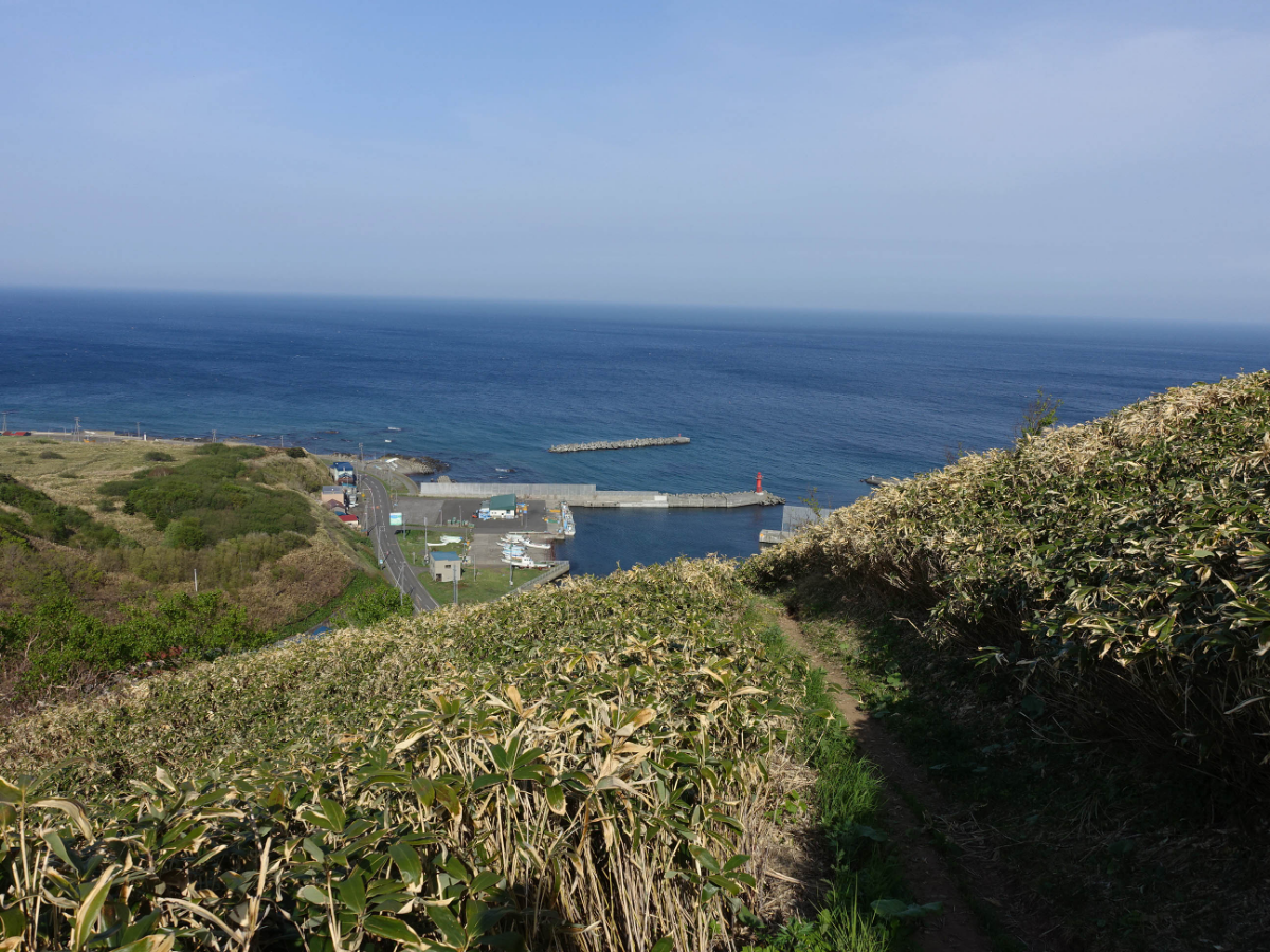
It's a good day to soak up the sun.
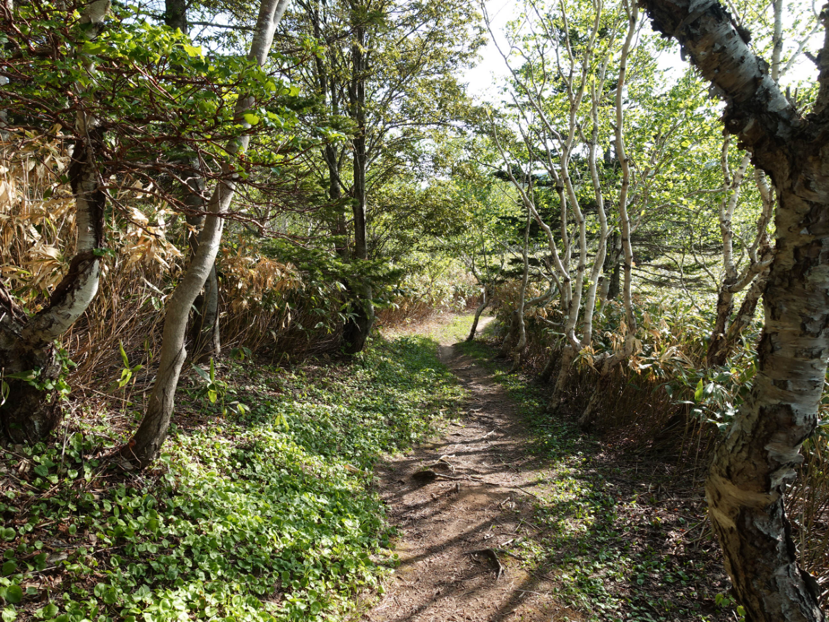
Just pat some plants Green is a comfortable color
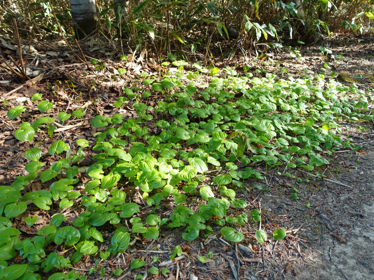
I didn't meet anyone along the way. It seems that I often encounter this situation. Sometimes walking is a little scary. After all, it's always a strange environment and I don't know how long the road ahead is.
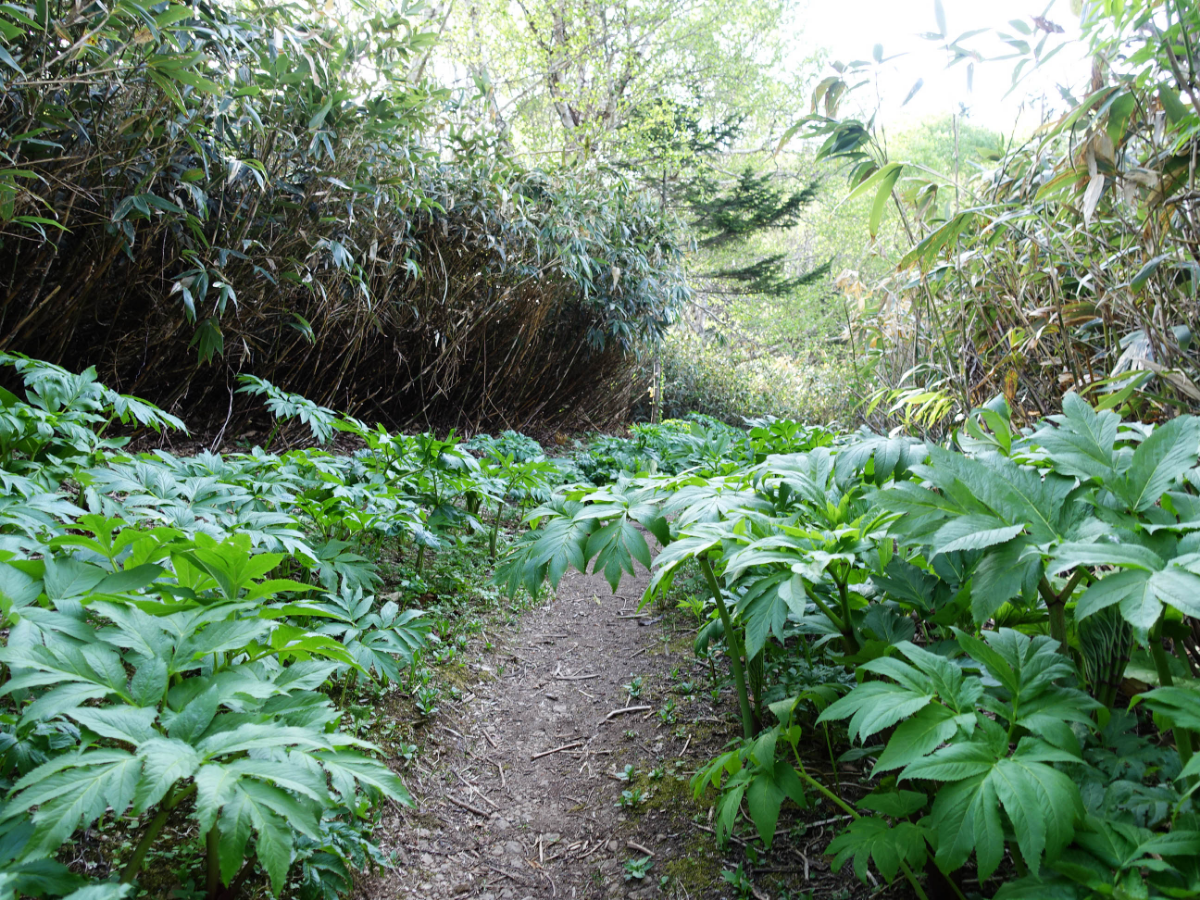
Every time I go to a different section of the road, the scenery is also different. It is full of freshness when walking, and there is not much feeling of getting tired of watching.
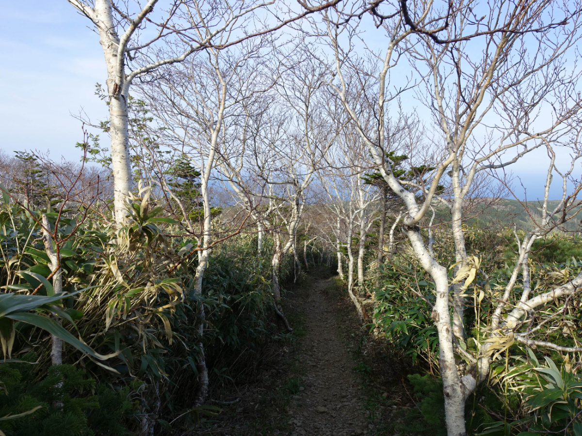
The top of the mountain appears, and the scenery opens up.
The next section of the road is quite narrow.
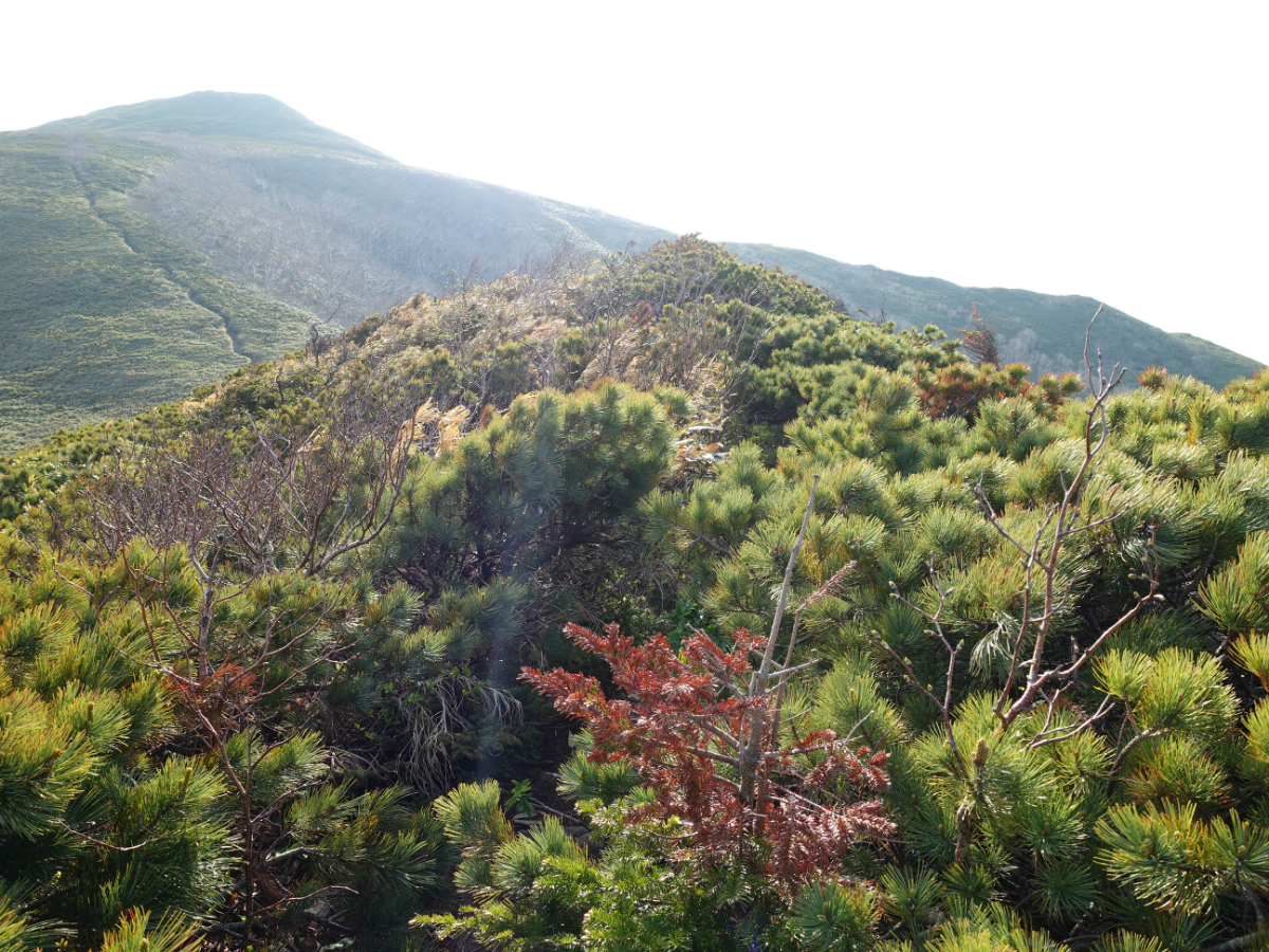
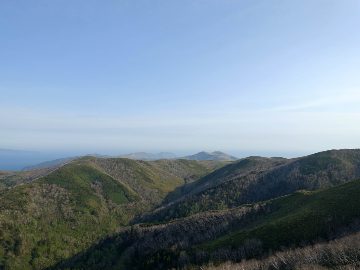
After passing through, it is the first high point where you can clearly see Mount Rishiri in the distance.
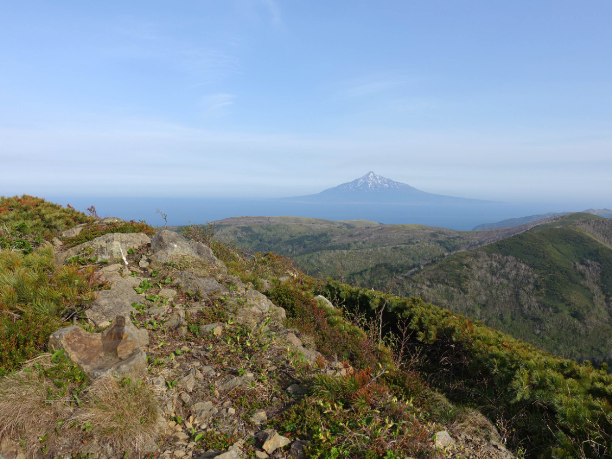
The wind above is too strong, and people will be blown crooked if they are not careful.
Stop for a while and prepare to go to the second high point
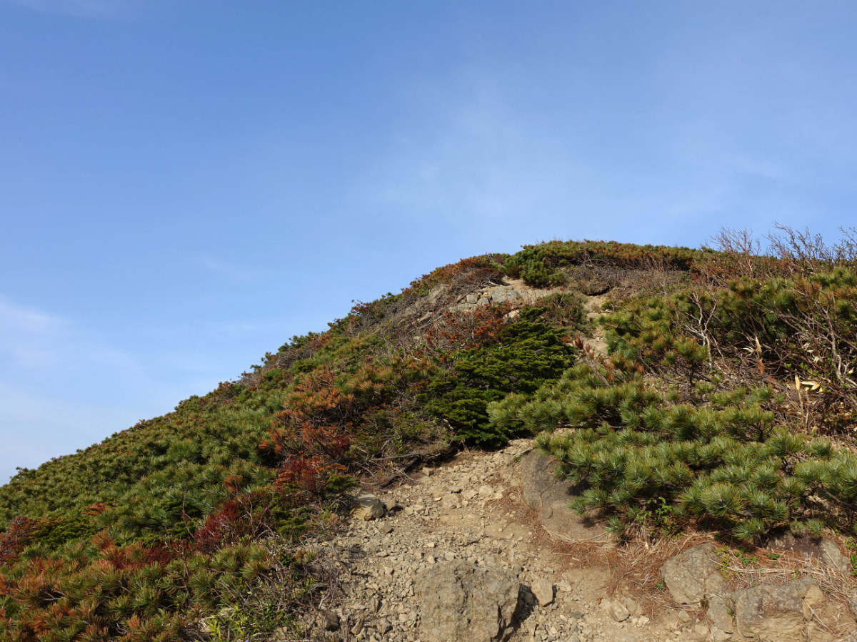
The first high point - the second high point is a steep slope, be careful to walk the stones, not very strong

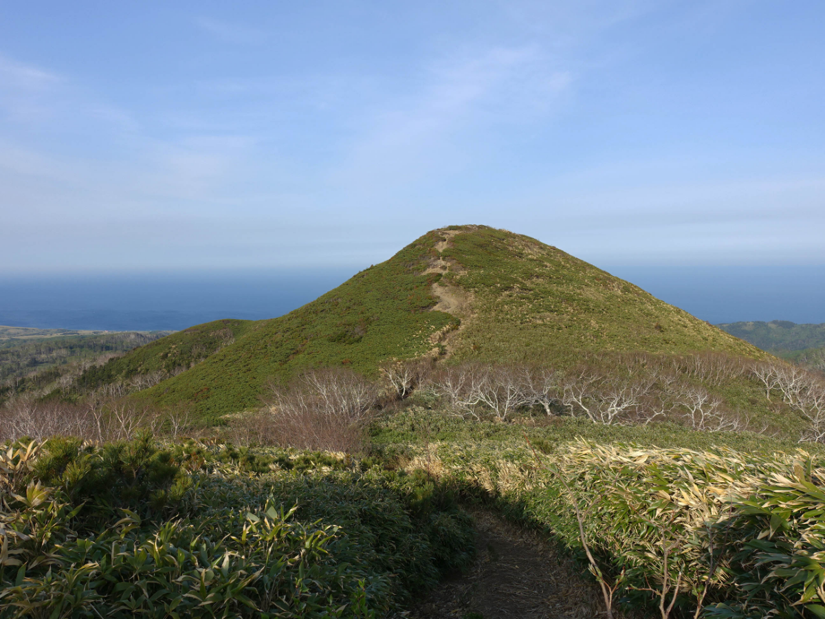
The high point on the opposite side is today's destination.
Let’s take a photo first ▼
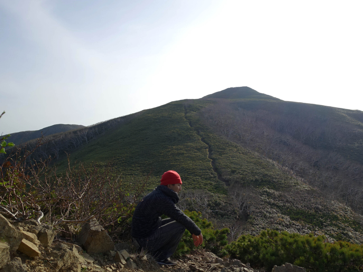
When looking back on the way down, did a sense of inclination appear?
The high point that just stayed in a short time has become a complete mountain.
After rushing down, he hurriedly climbed the elevation of 490M, and Li Wenyue successfully reached the top 👏👏
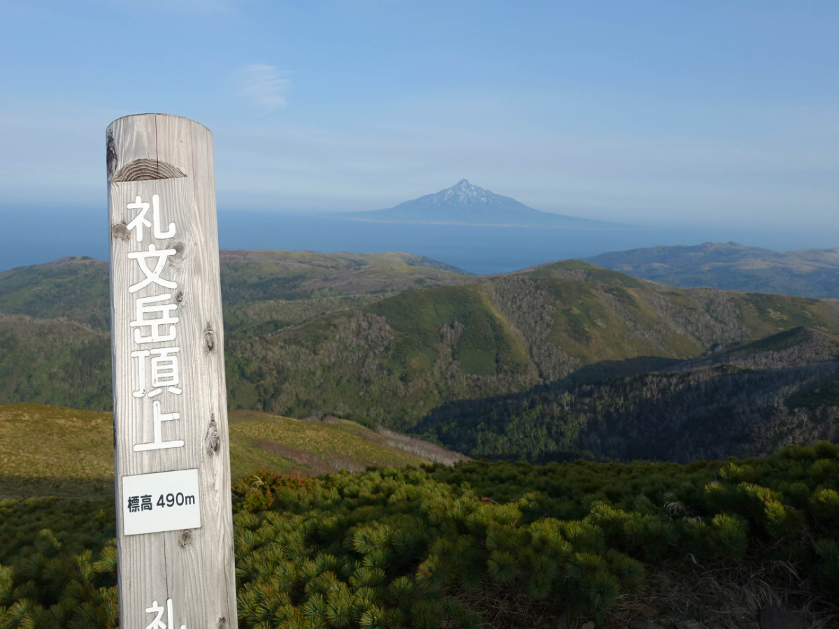
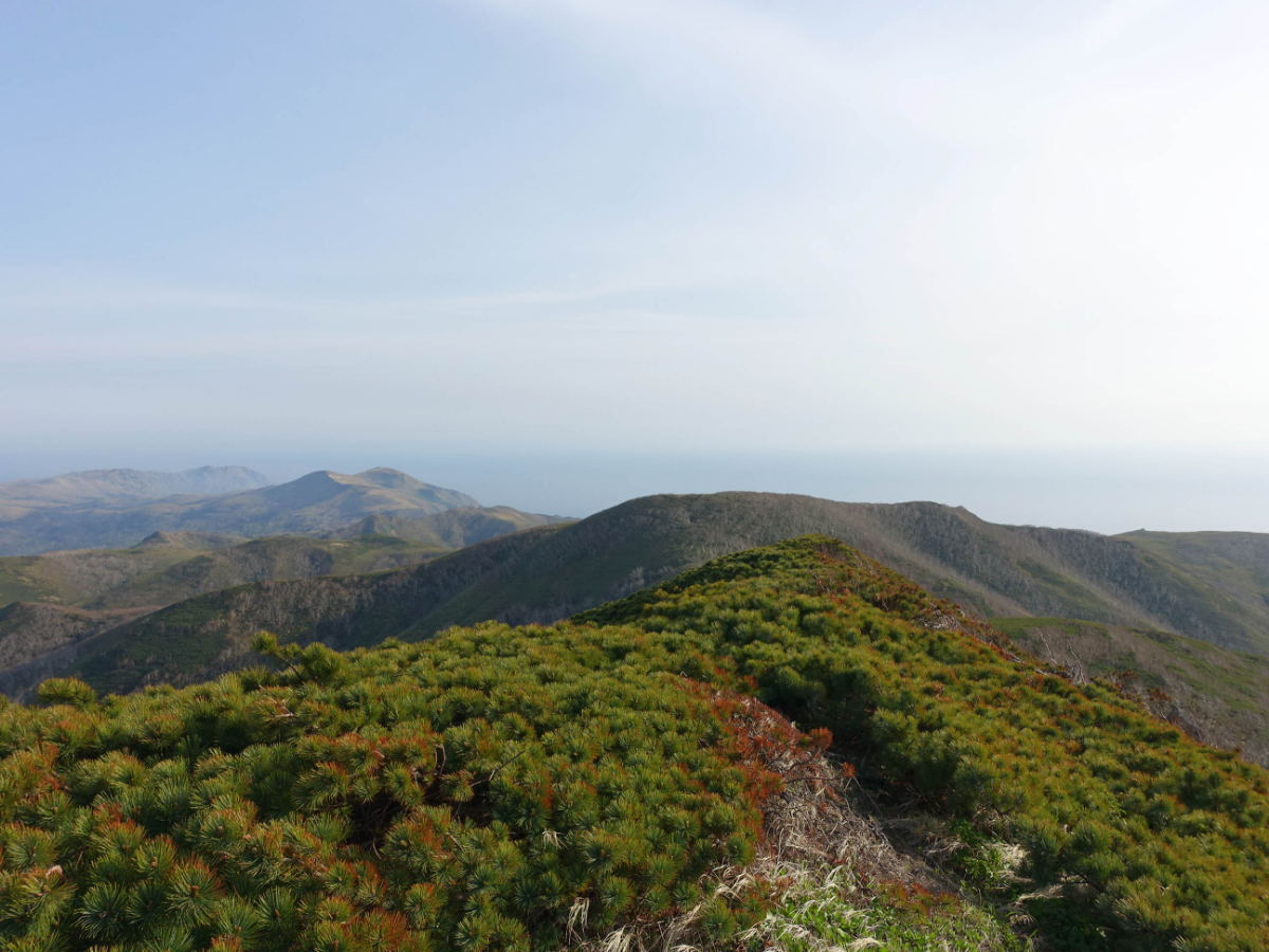
The 360-degree view from the top is great, nothing blocks the view, but the wind is very strong, pay more attention or people will be blown down if they are not careful
I don't have a tripod, so I didn't meet anyone so I had to find a way to take a selfie with a rock. Every photo here is a selfie training.
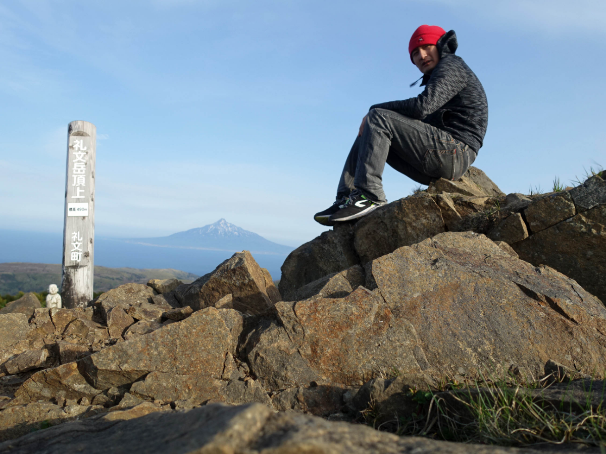
Opposite is Rishiri Mountain because it looks like Mount Fuji, so it is also called Rishiri Fuji, but it is really not Mount Fuji.
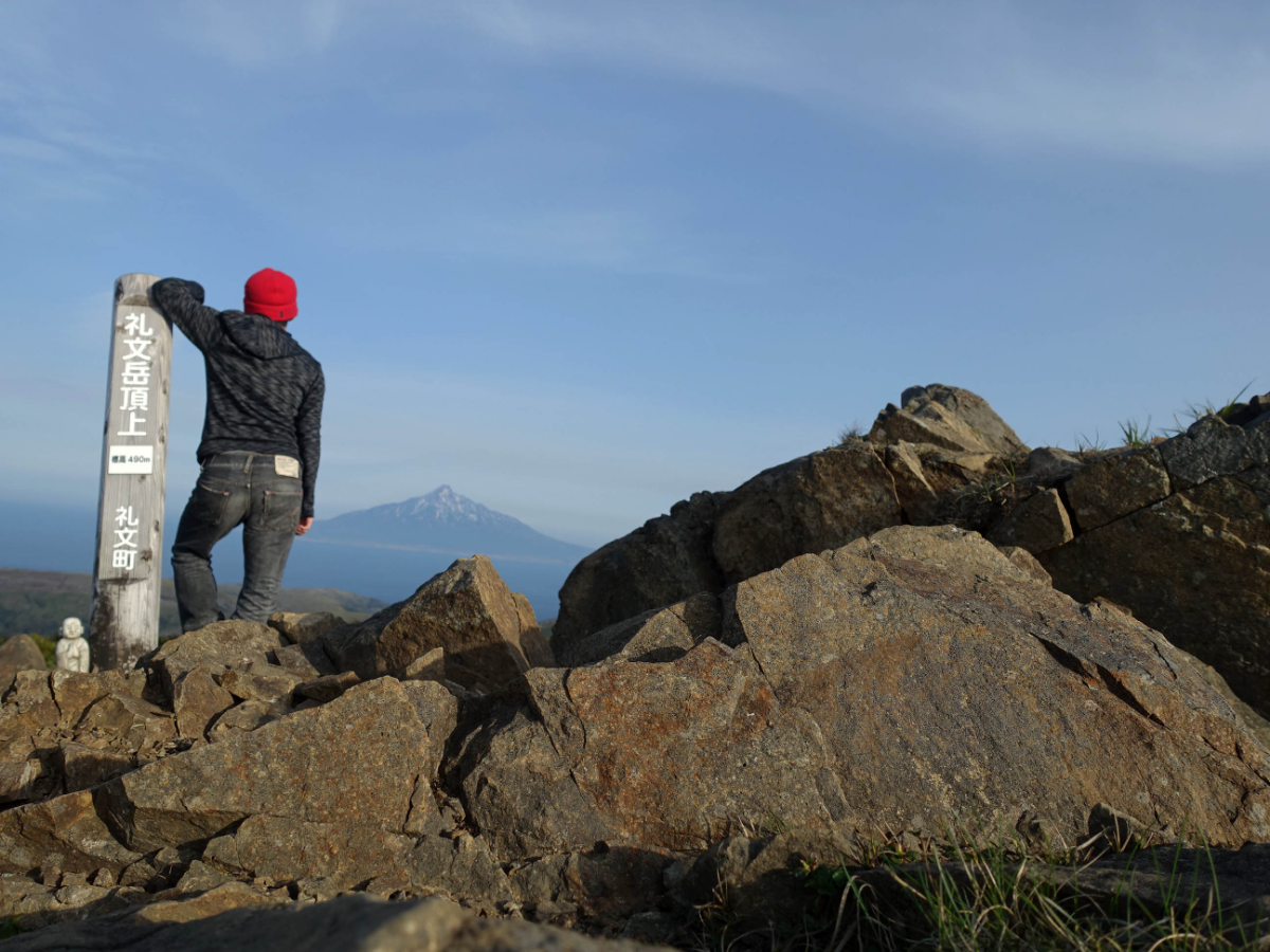
I took a photo, and after looking around, it was almost time to go down the mountain. It was almost 17:30 in silence.
It took about two hours to get up
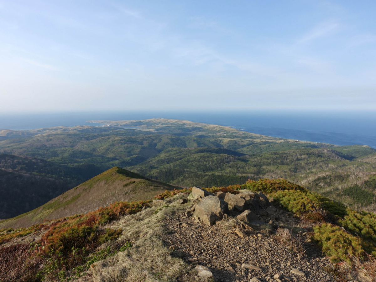
The footsteps down the mountain are always faster to the middle point, and it only takes 40 minutes
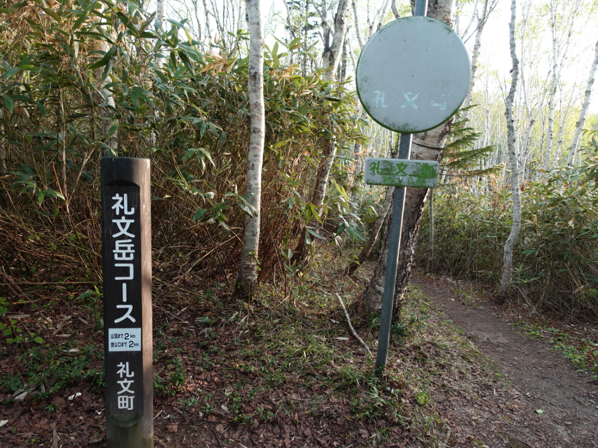
🔴 - Today's experience- 🔴
It is one of my favorite spots. It is not a high mountain among the many spots I have walked through, but the things that appear are very rich and the things that appear are always changing. It is very visually satisfying. The scenery on the top is also great, plus the opposite Rishiri Mountain. The view from afar is also very good, and I really recommend it 👍👍
🔴 - Notes- 🔴
It's best not to wear jeans when climbing the mountain. It will become very heavy when it rains and absorbs water. It is best to bring water and dry food. It is best to bring a jacket that can keep you warm. It is very cold on the mountain.
Like my work?
Don't forget to support or like, so I know you are with me..
Comment…