
記錄超過300條行山路線資料,可按時間或起步地點搜尋路線。當中亦有專題文章及在香港以外行山的記錄。 天的漸變藍、海的碧綠與草木的青嫩,就是我的治療系。
Yantianzi Bundle Bank (Sanyakou>Yantianzi Typhoon Shelter>Jade Belt Bridge)
sunny / 19.2-25.9 degrees / humidity 62-85%
Transportation: Take Yim Tin Tsz Street Ferry at Sai Kung Pier
Thoughts: It is suitable to have been to Yantianzi many times and want to take other paths to avoid crowds.
Time | Length: 1.5 hours / 2.99km
**Note: Pay attention to the ebb and flow of tides.
Yim Tin Tsai (walking along the shore)
Transport: Take kaito at Sai Kung Pier / Return by taking the same kaito.
Feeling: An alternative path to stay away from the crowd and walk around Yim Tin Tsai.
Distance and Average Hiking Time: around one and a half hours / 2.99km
**Point to note: Please check the tidal wave before you set off.
Seeing the good weather, I decided to go for a walk in the suburbs. But there was an injury, so I had to choose a simple and easy route. Take the street ferry from Sai Kung Pier to Yim Tin Zi. 
The boat journey is about half an hour. 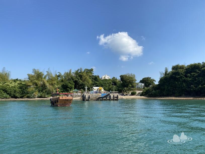
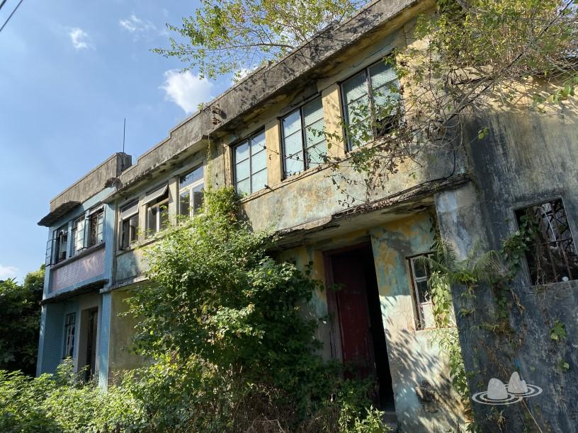
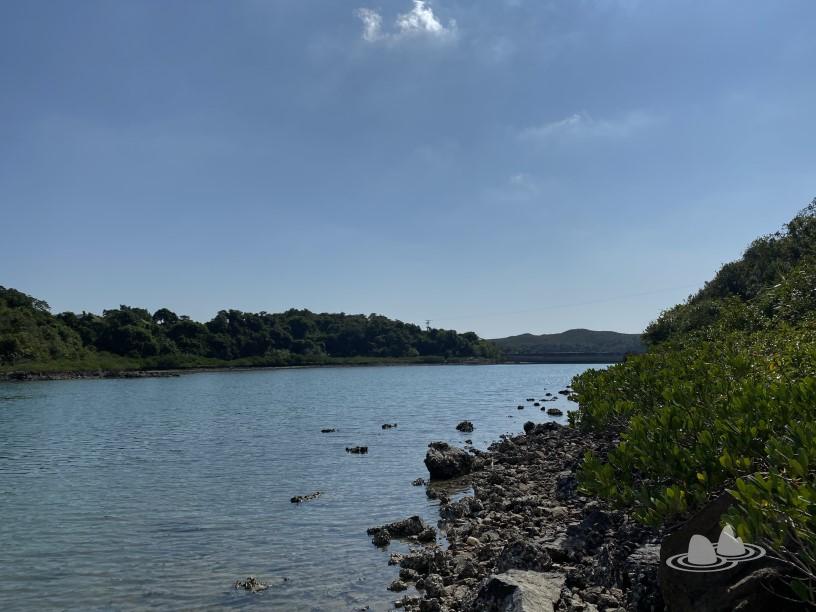
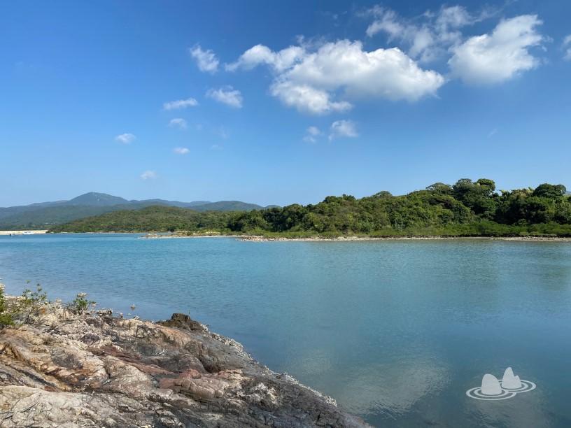
When the crowd left the pier, I turned to the right, and when I saw the low tide, I turned left to tie the bank. When I came, the Yantianzi Art Festival had not yet opened, and I saw covered exhibits. 
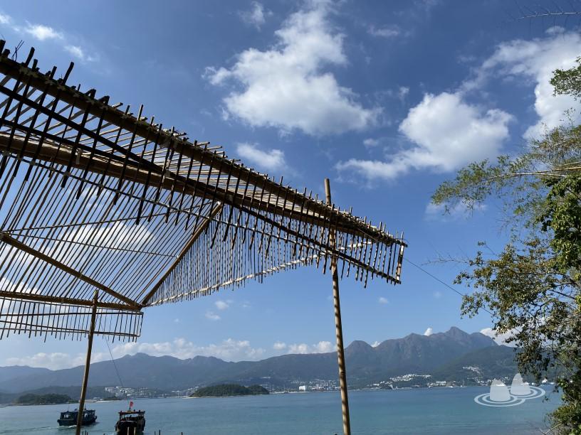
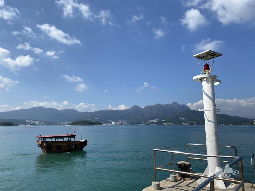
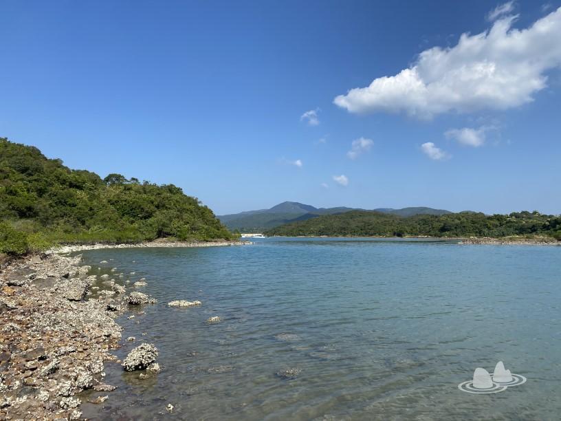
Such a color is never tire of seeing it. 
It is not difficult to tie the shore when the tide ebbs. 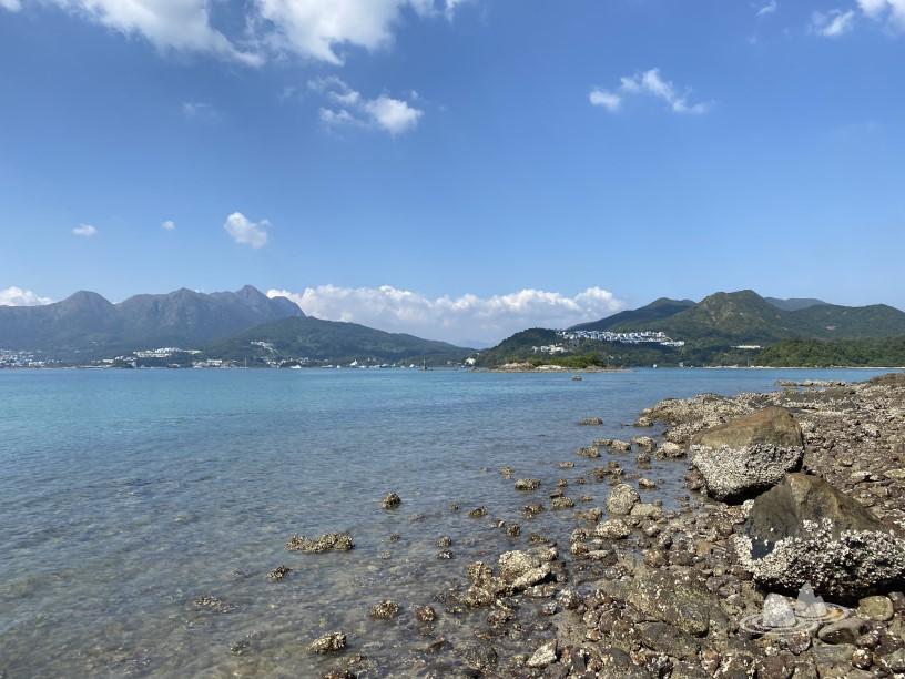


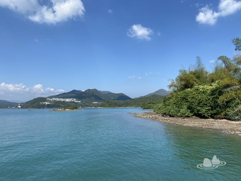
The island in front of me is called Shizhou. 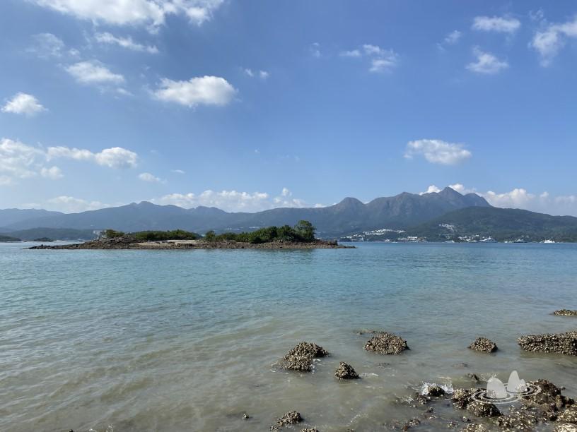
I was very casual by myself, and when I tied it here, I turned back the same way. 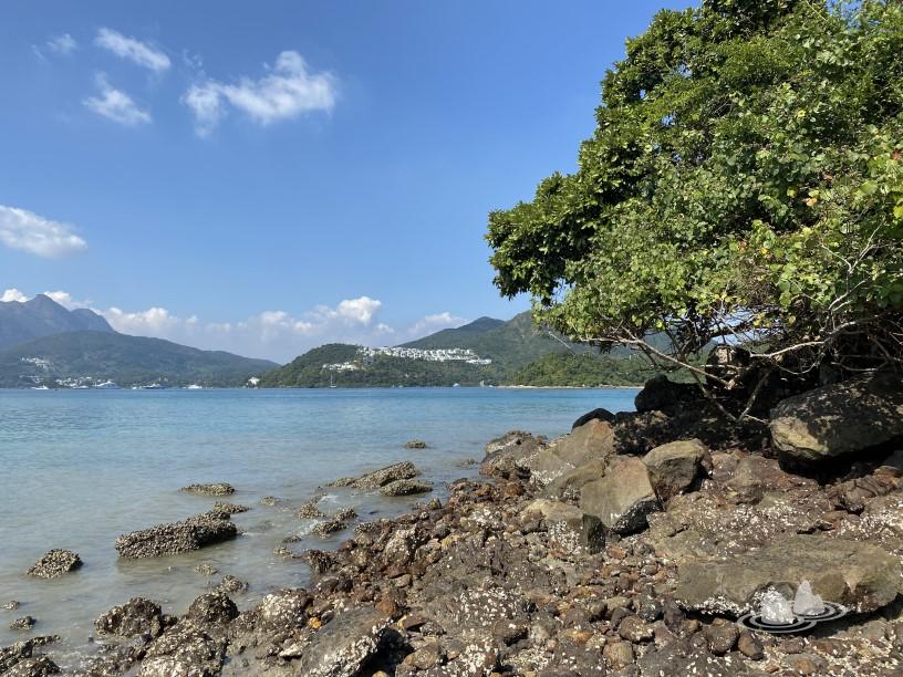

Return to the dock. 
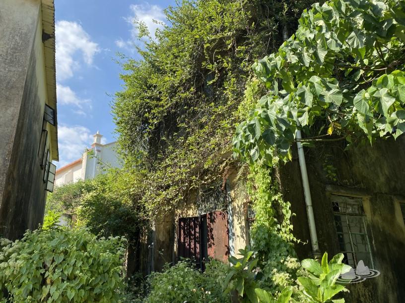
Pass through the township office. 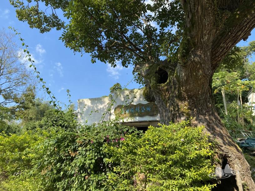
Visit St. Joseph's Church, built in 1890. 

Organic farmland. 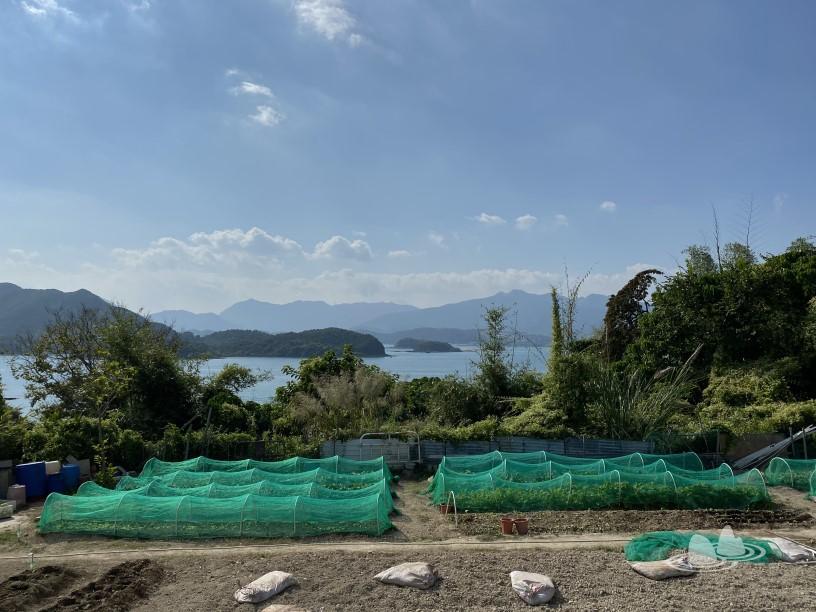

Chengbo School, built in 1920, is now the Yantianzi Cultural Resources Exhibition Room with exhibits next to it. 


Follow the road. 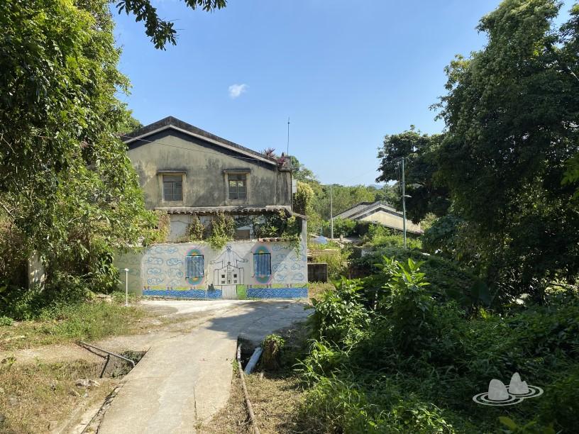
The statue of St. Joseph was placed in the place where he lived. 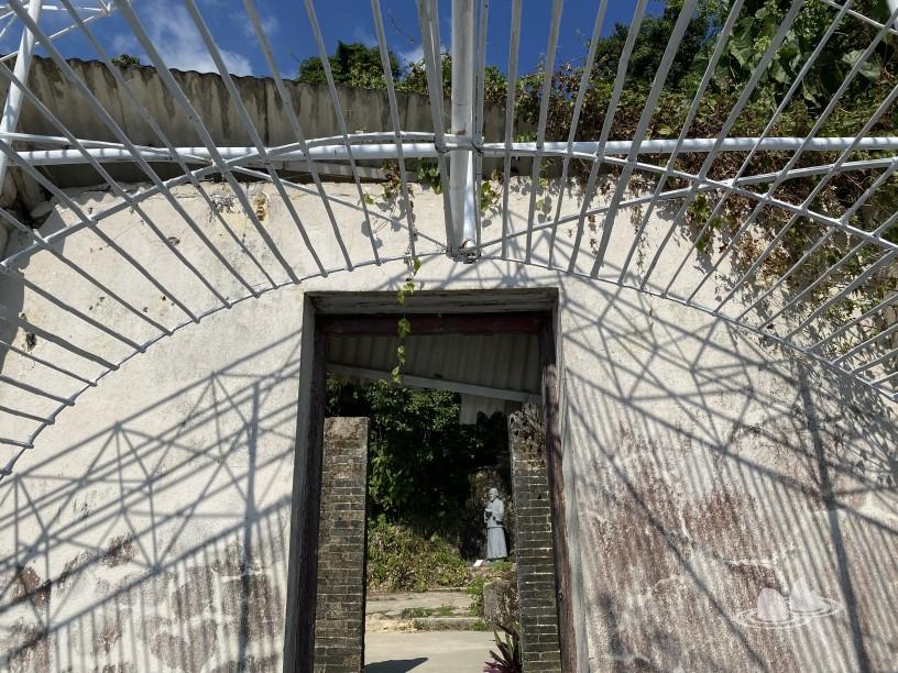
Go to the gazebo. 

Turn right to the pavilion to reach the Yudai Bridge, and I will continue to walk straight. 
Go straight for a while, pass the cemetery, there is a mountain road slowly turning to the seaside, reaching Sanyakou. 

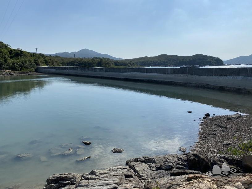
Go left first. 
Now I know that this is the Yantianzi typhoon shelter, no wonder there are dykes. In the 1970s, the government connected three small islands in the east of Sanyakou and built a dyke, which turned Sanyakou into a typhoon shelter for boats to moor. (1) 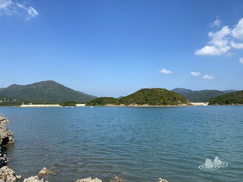

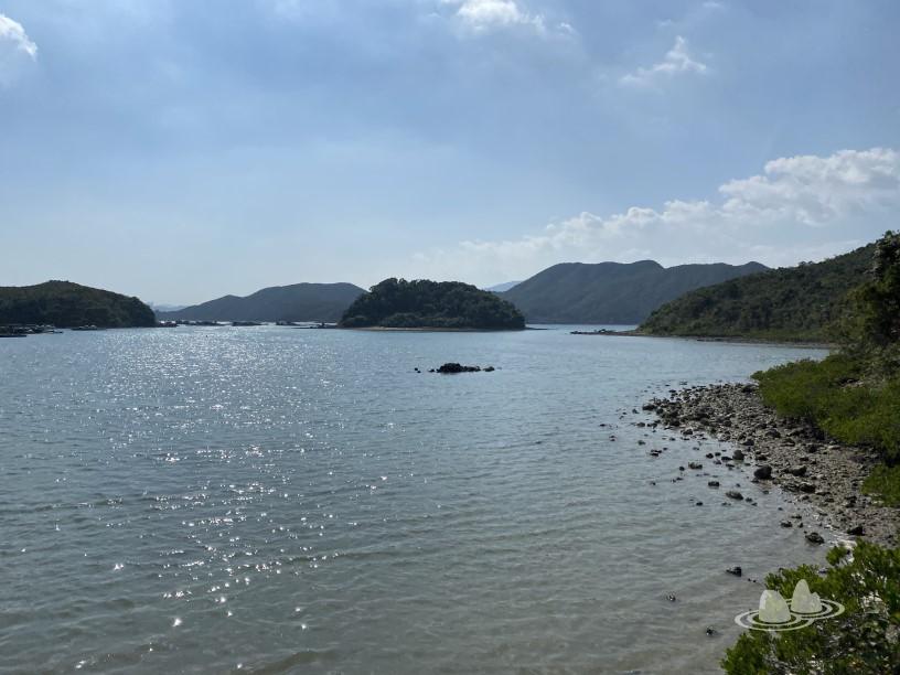
Turn back on the original road, and then go towards the Yudai Bridge. 


Walk and see if you can get to the Jade Belt Bridge without getting your feet wet. 


It turned out to be possible at low tide. 

Go up the Jade Belt Bridge smoothly. 
It seems that the bank can continue to be tied. 
You can see the road just tied to the shore. 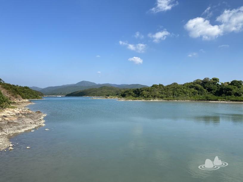


However, I was afraid that I would not be able to catch the next boat, so I walked on the cement road. 
I chose to go straight to Yantian, turn right and go up to the pavilion. 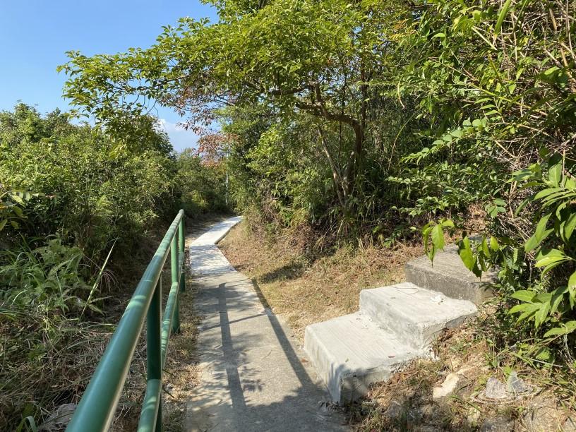


Pass through the salt fields. 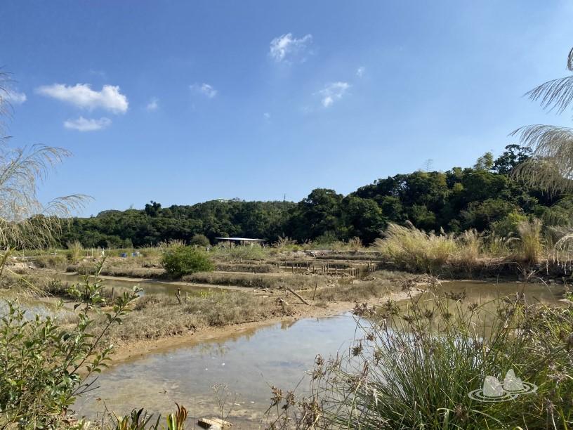
Follow the left mountain road to the sea. 

Bundle the shore back to the dock. 
Today tied the shore, away from the crowd, quiet and comfortable. 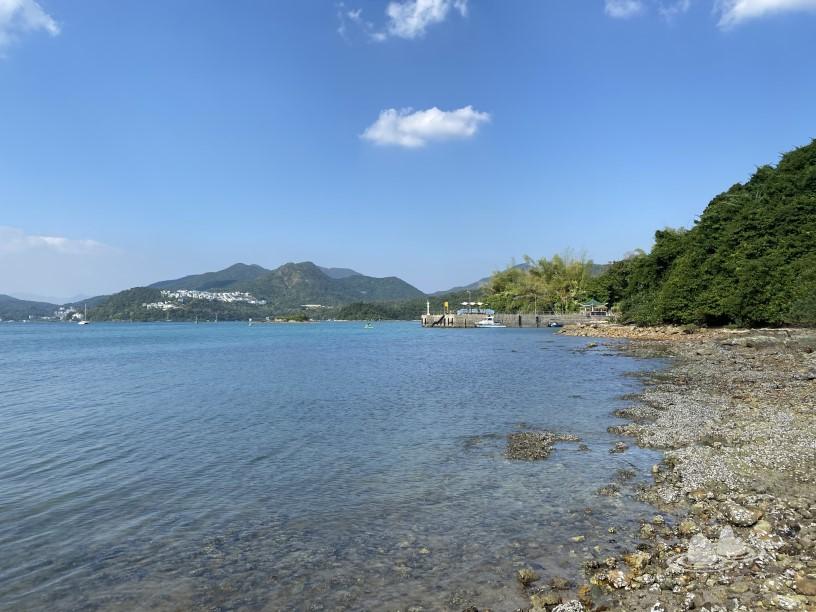

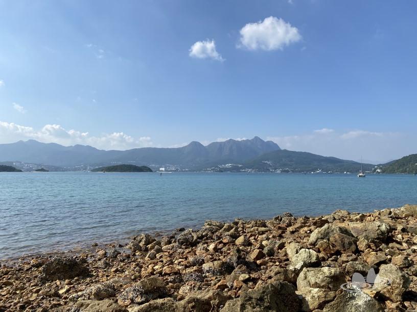


Look back at the road that just tied the bank. 
Seeing that there is still time, I went to eat tofu flower. 
Finally left by boat. 
With injuries, I can only take the easy and short route. I have been to Yantianzi many times , and I am afraid of being bored and repeating, so I try to find other paths. It turns out that the cemetery has a road leading to Sanyakou, and when the tide is low, the bank can be tied to the Yudai Bridge, which is really interesting. Today, I walked around the island leisurely for about half an hour, which is suitable for me in recuperation.
Nearby routes:
- Yan Tin Zi > Yudai Bridge > Kau Sai Chau > Kau Sai Chau Golf Course Pier > Jilong Wan > Yam Tin Zi
- Yantianzi>Kaoxizhou>Erling>Kaoxizhou>Yantianzi
- Hong Kong Wild Vegetables and Poisonous Plants Workshop ~ Yam Tin Tsz
- yam tin zi
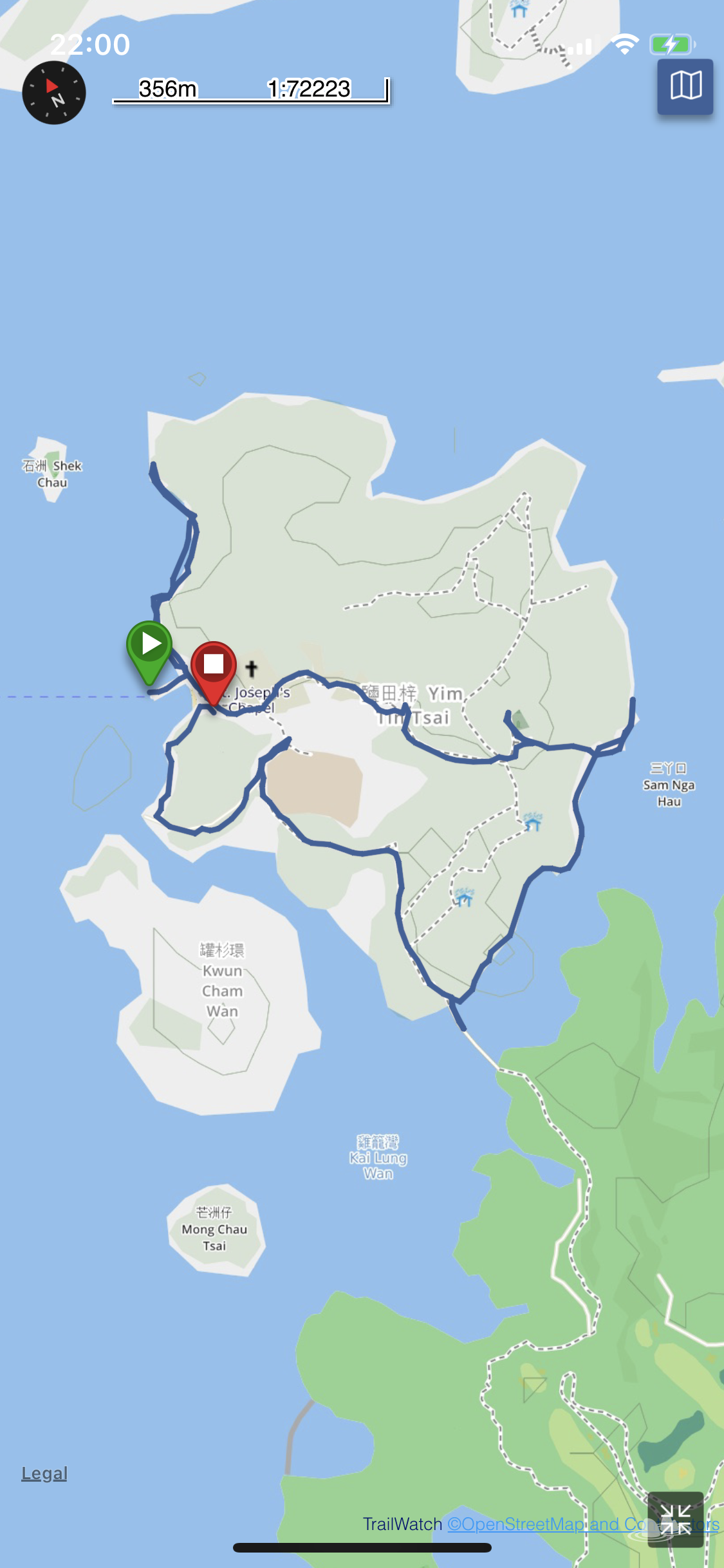
The following is today's uphill and downhill range and route information. See or copy the let's go hiking Trailwatch map , then follow with the TrailWatch app.
TrailWatch App ( IOS , Android ) | Website: trailwatch.hk

(1) Rao Jiucai. "Hong Kong's Place Names and Local History (Part 2) - New Territories" Hong Kong: Tiandi Books Co., Ltd., 2012.
Like my work?
Don't forget to support or like, so I know you are with me..
Comment…